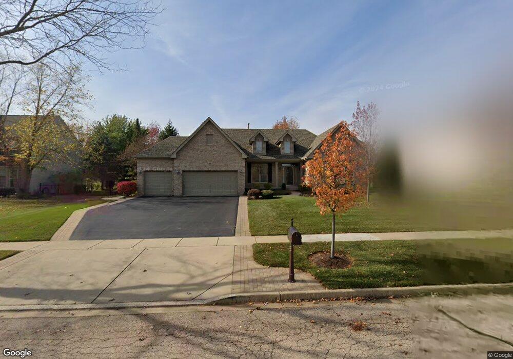
660 Brookside Ave Algonquin, IL 60102
Far West Algonquin NeighborhoodEstimated Value: $557,550 - $612,000
3
Beds
3
Baths
2,562
Sq Ft
$234/Sq Ft
Est. Value
About This Home
This home is located at 660 Brookside Ave, Algonquin, IL 60102 and is currently estimated at $598,388, approximately $233 per square foot. 660 Brookside Ave is a home located in McHenry County with nearby schools including Westfield Community School, Lincoln Prairie Elementary School, and Harry D Jacobs High School.
Ownership History
Date
Name
Owned For
Owner Type
Purchase Details
Closed on
Sep 19, 2016
Sold by
Tzystuck Billy G and Tzystuck Ruby L
Bought by
Tzystuck Billy G and Tzystuck Ruby L
Current Estimated Value
Purchase Details
Closed on
Feb 19, 2003
Sold by
Legacy Fine Custom Homes Inc
Bought by
Tzystuck Billy G and Tzystuck Ruby L
Create a Home Valuation Report for This Property
The Home Valuation Report is an in-depth analysis detailing your home's value as well as a comparison with similar homes in the area
Home Values in the Area
Average Home Value in this Area
Purchase History
| Date | Buyer | Sale Price | Title Company |
|---|---|---|---|
| Tzystuck Billy G | -- | None Available | |
| Tzystuck Billy G | $342,117 | Fatic |
Source: Public Records
Tax History
| Year | Tax Paid | Tax Assessment Tax Assessment Total Assessment is a certain percentage of the fair market value that is determined by local assessors to be the total taxable value of land and additions on the property. | Land | Improvement |
|---|---|---|---|---|
| 2024 | $11,724 | $165,867 | $29,451 | $136,416 |
| 2023 | $11,079 | $148,347 | $26,340 | $122,007 |
| 2022 | $11,156 | $141,082 | $29,600 | $111,482 |
| 2021 | $10,687 | $131,435 | $27,576 | $103,859 |
| 2020 | $10,396 | $126,782 | $26,600 | $100,182 |
| 2019 | $10,132 | $121,345 | $25,459 | $95,886 |
| 2018 | $10,203 | $118,041 | $23,519 | $94,522 |
| 2017 | $9,978 | $111,202 | $22,156 | $89,046 |
| 2016 | $9,811 | $104,297 | $20,780 | $83,517 |
| 2013 | -- | $101,282 | $19,385 | $81,897 |
Source: Public Records
Map
Nearby Homes
- 601 Woods Creek Ln
- 2660 Harnish Dr
- 3610 Lakeview Dr
- 16 Springbrook Ln
- 895 Eineke Blvd
- 3260 Nottingham Dr
- 4241 Wanderlust Dr
- 940 Treeline Dr
- 531 Alpine Dr
- 3650 Wintergreen Terrace
- 2930 Harnish Dr
- 1453 Millbrook Dr
- 2956 Harnish Dr
- 4 Greenbrier Ct
- 432 Thunder Ridge
- 2380 Dawson Ln Unit 165
- 2612 Loren Ln Unit 293
- 1171 Kingsmill Dr
- 212 Rhinebeck Way
- 1157 Sawmill Ln
- 670 Brookside Ave
- 650 Brookside Ave
- 671 Saratoga Cir
- 661 Saratoga Cir
- 681 Saratoga Cir
- 680 Brookside Ave
- 640 Brookside Ave
- 661 Brookside Ave
- 651 Brookside Ave
- 651 Saratoga Cir
- 691 Saratoga Cir
- 671 Brookside Ave Unit 2
- 641 Brookside Ave
- 630 Brookside Ave
- 750 Saratoga Cir
- 641 Saratoga Cir
- 670 Saratoga Cir
- 730 Saratoga Cir
- 740 Saratoga Cir
- 680 Saratoga Cir
Your Personal Tour Guide
Ask me questions while you tour the home.