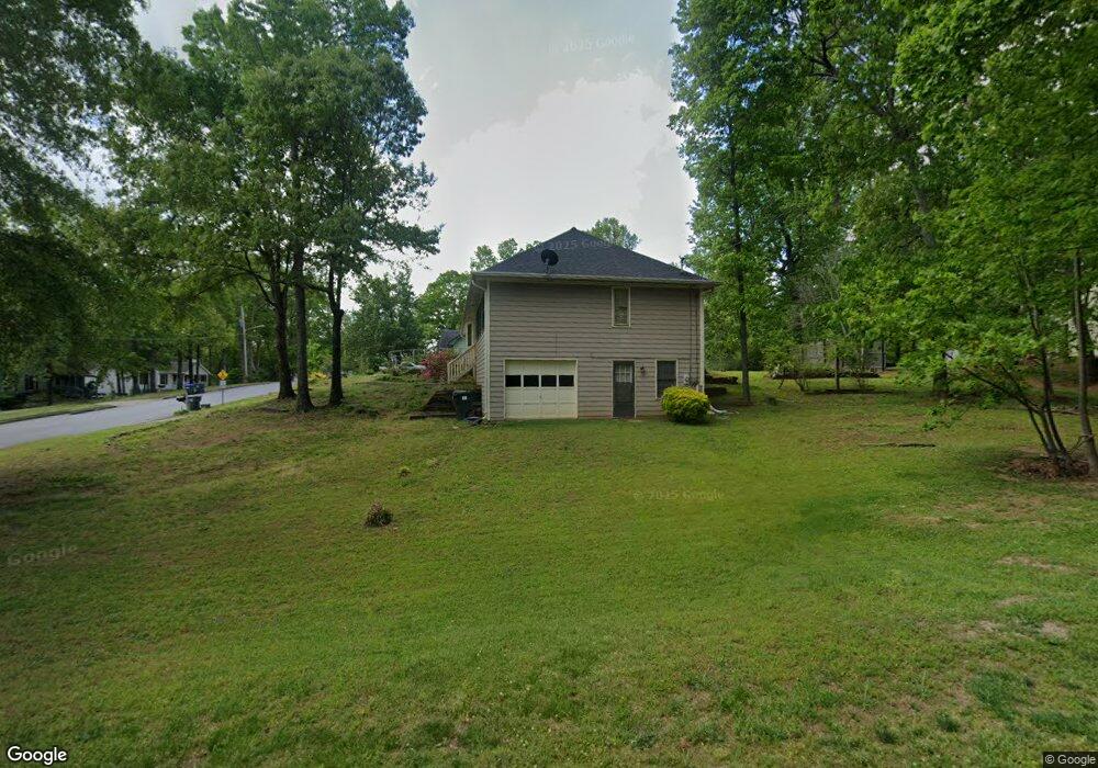
660 Carrolls Way Unit 2 Sugar Hill, GA 30518
Estimated Value: $364,000 - $439,000
3
Beds
2
Baths
1,467
Sq Ft
$268/Sq Ft
Est. Value
About This Home
This home is located at 660 Carrolls Way Unit 2, Sugar Hill, GA 30518 and is currently estimated at $393,085, approximately $267 per square foot. 660 Carrolls Way Unit 2 is a home located in Gwinnett County with nearby schools including Sugar Hill Elementary School, Lanier Middle School, and Lanier High School.
Ownership History
Date
Name
Owned For
Owner Type
Purchase Details
Closed on
Nov 28, 2018
Sold by
Mills Verolyn Rae
Bought by
Mills Gary Lee and Bolander Jeffery David
Current Estimated Value
Purchase Details
Closed on
Jun 16, 1997
Sold by
Law A Keith and Law Judy M
Bought by
Bolander Verolyn R
Home Financials for this Owner
Home Financials are based on the most recent Mortgage that was taken out on this home.
Original Mortgage
$94,400
Interest Rate
7.97%
Mortgage Type
New Conventional
Create a Home Valuation Report for This Property
The Home Valuation Report is an in-depth analysis detailing your home's value as well as a comparison with similar homes in the area
Home Values in the Area
Average Home Value in this Area
Purchase History
| Date | Buyer | Sale Price | Title Company |
|---|---|---|---|
| Mills Gary Lee | -- | -- | |
| Bolander Verolyn R | $118,000 | -- |
Source: Public Records
Mortgage History
| Date | Status | Borrower | Loan Amount |
|---|---|---|---|
| Previous Owner | Bolander Verolyn R | $94,400 |
Source: Public Records
Tax History Compared to Growth
Tax History
| Year | Tax Paid | Tax Assessment Tax Assessment Total Assessment is a certain percentage of the fair market value that is determined by local assessors to be the total taxable value of land and additions on the property. | Land | Improvement |
|---|---|---|---|---|
| 2025 | -- | $139,920 | $28,000 | $111,920 |
| 2024 | -- | $140,000 | $27,600 | $112,400 |
| 2023 | $1,024 | $144,840 | $22,000 | $122,840 |
| 2022 | $0 | $114,280 | $22,000 | $92,280 |
| 2021 | $2,634 | $97,440 | $17,600 | $79,840 |
| 2020 | $2,634 | $76,280 | $14,000 | $62,280 |
| 2019 | $2,634 | $76,280 | $14,000 | $62,280 |
| 2018 | $2,634 | $65,960 | $8,800 | $57,160 |
| 2016 | $750 | $58,000 | $8,800 | $49,200 |
| 2015 | $760 | $50,360 | $8,800 | $41,560 |
| 2014 | $765 | $44,840 | $8,800 | $36,040 |
Source: Public Records
Map
Nearby Homes
- 4209 Tifton Ln
- 707 Dodd Trail Unit 164
- 5428 Howington Ct Unit 186
- 5440 Howington Ct Unit 190
- 617 Millcroft Blvd
- 5422 Howington Ct Unit 183
- 4247 Millcroft Place Unit 201
- 4231 Millcroft Place Unit 207
- 4223 Millcroft Place Unit 211
- 4310 Woodward Walk Ln
- 0 Buford Hwy Unit 10450757
- 0 Buford Hwy Unit 7517591
- 4912 Molder Ave Unit 66
- 4217 Heisenberg Ln
- 4920 Molder Ave Unit 62
- The Glendale Plan at Millcroft - Townhomes
- The Stockton Plan at Millcroft - The Classic Collection
- 4275 Westbrook Rd
- 4306 Burton Bend Way Unit 150
- 706 Dodd Ln Unit 157
- 650 Carrolls Way
- 4400 Woodward Mill Rd
- 661 Carrolls Way
- 640 Carrolls Way
- 4389 Woodward Mill Rd
- 4399 Woodward Mill Rd
- 641 Alma Ct
- 651 Carrolls Way
- 0 Carrolls Way
- 4379 Woodward Mill Rd Unit 1
- 630 Carrolls Way
- 631 Alma Ct Unit 2
- 4356 Woodward Mill Rd
- 641 Carrolls Way Unit 2
- 4419 Woodward Mill Rd
- 0 Alma Ct Unit 7214444
- 621 Alma Ct
- 620 Carrolls Way
- 4429 Woodward Mill Rd
- 631 Carrolls Way