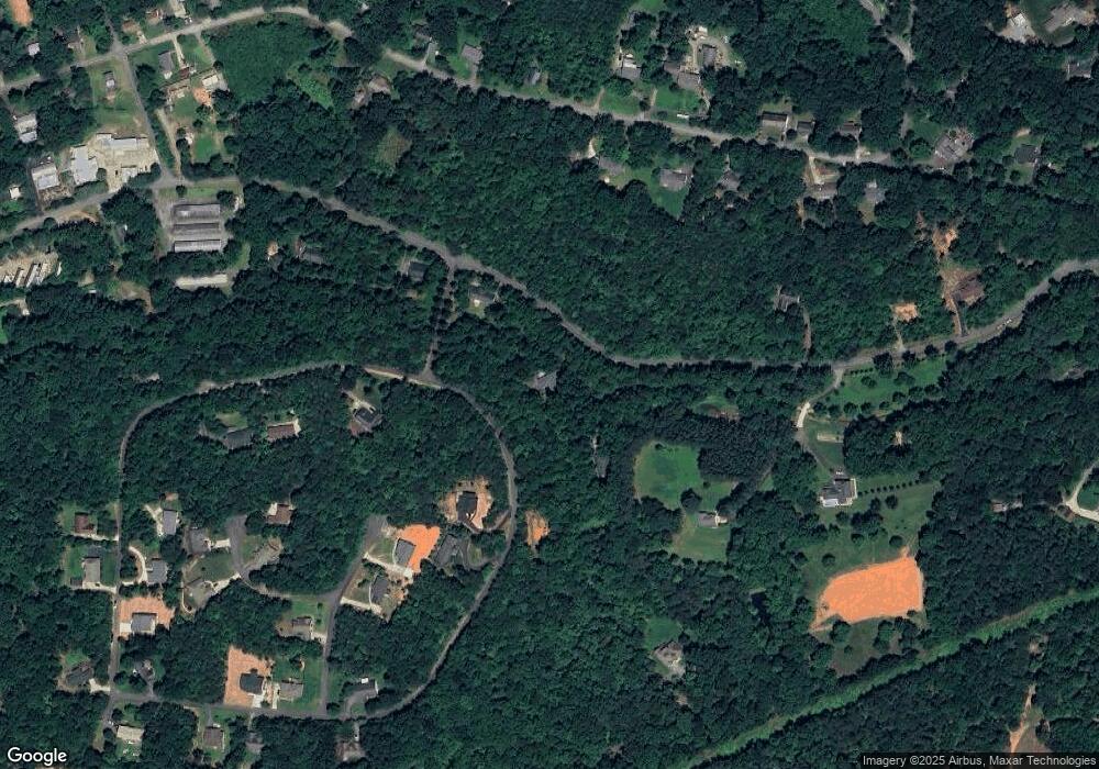
660 Dublin Ln Unit 17 Columbus, NC 28722
Estimated Value: $342,808 - $390,000
3
Beds
2
Baths
1,712
Sq Ft
$211/Sq Ft
Est. Value
About This Home
This home is located at 660 Dublin Ln Unit 17, Columbus, NC 28722 and is currently estimated at $361,702, approximately $211 per square foot. 660 Dublin Ln Unit 17 is a home located in Polk County.
Ownership History
Date
Name
Owned For
Owner Type
Purchase Details
Closed on
Jun 9, 2023
Sold by
Holden Atari Melody
Bought by
Todd Michael Davis
Current Estimated Value
Home Financials for this Owner
Home Financials are based on the most recent Mortgage that was taken out on this home.
Original Mortgage
$182,000
Outstanding Balance
$177,169
Interest Rate
6.43%
Mortgage Type
New Conventional
Estimated Equity
$184,533
Purchase Details
Closed on
Oct 14, 2004
Bought by
Alatari John A
Purchase Details
Closed on
Jun 12, 2002
Bought by
Alatari John A
Purchase Details
Closed on
Jul 10, 2001
Bought by
Alatari John A
Purchase Details
Closed on
Jan 20, 2001
Bought by
Alatari John A
Create a Home Valuation Report for This Property
The Home Valuation Report is an in-depth analysis detailing your home's value as well as a comparison with similar homes in the area
Home Values in the Area
Average Home Value in this Area
Purchase History
| Date | Buyer | Sale Price | Title Company |
|---|---|---|---|
| Todd Michael Davis | $280,000 | None Listed On Document | |
| Alatari John A | $153,000 | -- | |
| Alatari John A | $14,000 | -- | |
| Alatari John A | -- | -- | |
| Alatari John A | -- | -- |
Source: Public Records
Mortgage History
| Date | Status | Borrower | Loan Amount |
|---|---|---|---|
| Open | Todd Michael Davis | $182,000 |
Source: Public Records
Tax History Compared to Growth
Tax History
| Year | Tax Paid | Tax Assessment Tax Assessment Total Assessment is a certain percentage of the fair market value that is determined by local assessors to be the total taxable value of land and additions on the property. | Land | Improvement |
|---|---|---|---|---|
| 2025 | $1,460 | $279,338 | $30,600 | $248,738 |
| 2024 | $1,429 | $219,226 | $27,200 | $192,026 |
| 2023 | $1,396 | $219,226 | $27,200 | $192,026 |
| 2022 | $1,371 | $219,226 | $27,200 | $192,026 |
| 2021 | $1,371 | $219,226 | $27,200 | $192,026 |
| 2020 | $1,239 | $184,058 | $27,200 | $156,858 |
| 2019 | $1,239 | $184,058 | $27,200 | $156,858 |
| 2018 | $1,147 | $184,058 | $27,200 | $156,858 |
| 2017 | $1,147 | $189,525 | $34,000 | $155,525 |
| 2016 | $1,163 | $189,525 | $34,000 | $155,525 |
| 2015 | $1,116 | $0 | $0 | $0 |
| 2014 | $1,116 | $0 | $0 | $0 |
| 2013 | -- | $0 | $0 | $0 |
Source: Public Records
Map
Nearby Homes
- 872 Hayes Rd
- 583 Dublin Ln
- 581 Dublin Ln
- 460 Dublin Ln
- 221 Dublin Ln
- 0 Blanton St
- 263 Blanton St
- 395 Walker St
- 611 Peniel Rd
- 280 Walker St
- 0 Fox Mountain Rd Unit 5 CAR4066094
- 0 Fox Mountain Rd Unit 2 CAR4066028
- 0 Fox Mountain Rd Unit 1 CAR4066020
- 0 Fox Mountain Rd Unit 9 CAR4068729
- 0 Fox Mountain Rd Unit 3 CAR4066038
- 125 Mallard Dr
- Lot 171 Mountain Laurel Dr Unit 171
- 646 Walker St
- 00 Mills Street Rd
- Lot 7A Springbrook Ct
- 660 Dublin Ln
- Lot #20 & 21 Dublin Ln
- 20 & 21 Dublin Ln Unit 20/21
- 21 Dublin Ln
- 20 Dublin Ln
- 0 Dublin Ln Unit 201829
- 65 Dublin Ln
- 50 Dublin Ln
- 3 Dublin Ln
- 2 Dublin Ln
- 0 Dublin Ln Unit NCM507451
- 36 Dublin Ln
- 0 Dublin Ln Unit NCM516259
- 21 Dublin Ln Unit 21
- 20 Dublin Ln Unit 20
- 36 Dublin Ln Unit 36
- 42 Dublin Ln
- 39 Dublin Ln
- 35 Dublin Ln
- 0 Dublin Ln Unit 1535598
