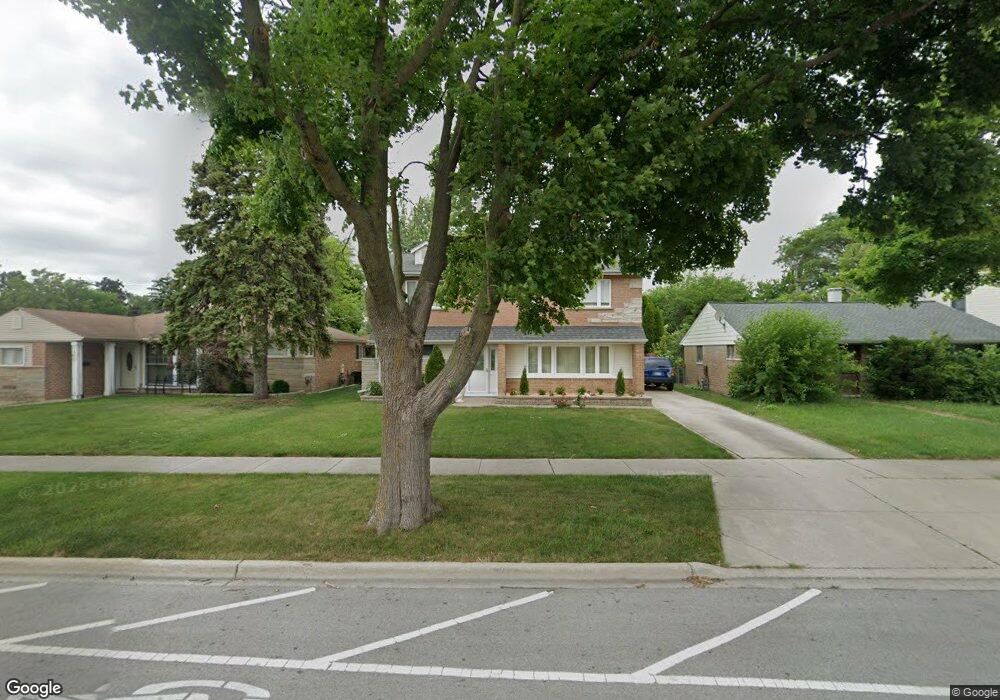
660 E Algonquin Rd Des Plaines, IL 60016
Estimated Value: $434,000 - $498,000
4
Beds
2
Baths
2,493
Sq Ft
$191/Sq Ft
Est. Value
About This Home
This home is located at 660 E Algonquin Rd, Des Plaines, IL 60016 and is currently estimated at $475,579, approximately $190 per square foot. 660 E Algonquin Rd is a home located in Cook County with nearby schools including Forest Elementary School, Algonquin Middle School, and Maine West High School.
Ownership History
Date
Name
Owned For
Owner Type
Purchase Details
Closed on
Aug 15, 1995
Sold by
Flanagan Marianne
Bought by
Murillo Juan A and Murillo Graciela
Current Estimated Value
Home Financials for this Owner
Home Financials are based on the most recent Mortgage that was taken out on this home.
Original Mortgage
$96,000
Interest Rate
7.81%
Create a Home Valuation Report for This Property
The Home Valuation Report is an in-depth analysis detailing your home's value as well as a comparison with similar homes in the area
Home Values in the Area
Average Home Value in this Area
Purchase History
| Date | Buyer | Sale Price | Title Company |
|---|---|---|---|
| Murillo Juan A | $120,000 | -- |
Source: Public Records
Mortgage History
| Date | Status | Borrower | Loan Amount |
|---|---|---|---|
| Closed | Murillo Juan A | $96,000 |
Source: Public Records
Tax History
| Year | Tax Paid | Tax Assessment Tax Assessment Total Assessment is a certain percentage of the fair market value that is determined by local assessors to be the total taxable value of land and additions on the property. | Land | Improvement |
|---|---|---|---|---|
| 2025 | $9,672 | $51,000 | $5,148 | $45,852 |
| 2024 | $9,672 | $40,000 | $4,290 | $35,710 |
| 2023 | $9,412 | $40,000 | $4,290 | $35,710 |
| 2022 | $9,412 | $40,000 | $4,290 | $35,710 |
| 2021 | $5,644 | $21,692 | $3,575 | $18,117 |
| 2020 | $5,618 | $21,692 | $3,575 | $18,117 |
| 2019 | $5,636 | $24,373 | $3,575 | $20,798 |
| 2018 | $8,742 | $32,667 | $3,146 | $29,521 |
| 2017 | $8,605 | $32,667 | $3,146 | $29,521 |
| 2016 | $8,384 | $32,667 | $3,146 | $29,521 |
| 2015 | $6,871 | $25,353 | $2,717 | $22,636 |
| 2014 | $6,743 | $25,353 | $2,717 | $22,636 |
| 2013 | $6,557 | $25,353 | $2,717 | $22,636 |
Source: Public Records
Map
Nearby Homes
- 674 E Algonquin Rd
- 1205 S Wolf Rd
- 1162 W Grant Dr
- 1122 Alfini Dr
- 980 W Grant Dr
- 505 Forest Ave
- 1394 Carol Ln
- 664 E Oakton St
- 1596 Oxford Rd
- 886 E Thacker St
- 815 E Oakton St Unit 311
- 652 E Prairie Ave
- 1080 Bogart St
- 508 Crestwood Dr
- 584 S 4th Ave
- 556 Orchard Ct
- 1426 Danbury Ln
- 887 Ingram Place
- 1107 E Prairie Ave
- 681 S Mount Prospect Rd
- 668 E Algonquin Rd
- 652 E Algonquin Rd
- 642 E Algonquin Rd
- 661 Walnut Ct
- 671 Walnut Ct
- 651 Walnut Ct
- 682 E Algonquin Rd
- 632 E Algonquin Rd
- 679 Walnut Ct
- 641 Walnut Ct
- 692 E Algonquin Rd
- 685 Walnut Ct
- 633 Walnut Ct
- 693 Walnut Ct
- 1185 S Wolf Rd
- 1167 S Wolf Rd
- 1145 S 6th Ave
- 1146 S 6th Ave
- 1161 S Wolf Rd
- 710 E Algonquin Rd
Your Personal Tour Guide
Ask me questions while you tour the home.