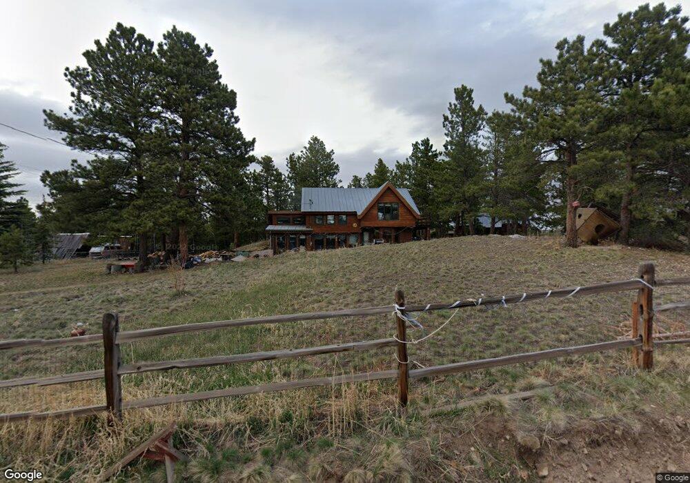
660 Pine St Boulder, CO 80302
Gold Hill NeighborhoodEstimated Value: $600,056 - $1,798,000
3
Beds
1
Bath
2,067
Sq Ft
$517/Sq Ft
Est. Value
About This Home
This home is located at 660 Pine St, Boulder, CO 80302 and is currently estimated at $1,069,014, approximately $517 per square foot. 660 Pine St is a home located in Boulder County with nearby schools including Gold Hill Elementary School, Casey Middle School, and Boulder High School.
Ownership History
Date
Name
Owned For
Owner Type
Purchase Details
Closed on
Apr 1, 2010
Sold by
Mack Daniel
Bought by
Lemieux Adwoa D M
Current Estimated Value
Purchase Details
Closed on
Jul 16, 1996
Sold by
Ogsbury Charles S
Bought by
Mack Daniel
Home Financials for this Owner
Home Financials are based on the most recent Mortgage that was taken out on this home.
Original Mortgage
$170,600
Interest Rate
8.33%
Purchase Details
Closed on
Dec 31, 1987
Bought by
Lemieux Adwoa D M
Purchase Details
Closed on
May 21, 1981
Bought by
Lemieux Adwoa D M
Create a Home Valuation Report for This Property
The Home Valuation Report is an in-depth analysis detailing your home's value as well as a comparison with similar homes in the area
Home Values in the Area
Average Home Value in this Area
Purchase History
| Date | Buyer | Sale Price | Title Company |
|---|---|---|---|
| Lemieux Adwoa D M | -- | None Available | |
| Mack Daniel | $227,500 | -- | |
| Lemieux Adwoa D M | -- | -- | |
| Lemieux Adwoa D M | $11,000 | -- |
Source: Public Records
Mortgage History
| Date | Status | Borrower | Loan Amount |
|---|---|---|---|
| Previous Owner | Mack Daniel | $170,600 |
Source: Public Records
Tax History
| Year | Tax Paid | Tax Assessment Tax Assessment Total Assessment is a certain percentage of the fair market value that is determined by local assessors to be the total taxable value of land and additions on the property. | Land | Improvement |
|---|---|---|---|---|
| 2025 | $2,323 | $33,461 | $3,394 | $30,067 |
| 2024 | $2,323 | $33,461 | $3,394 | $30,067 |
| 2023 | $2,282 | $33,299 | $3,946 | $33,038 |
| 2022 | $2,167 | $30,424 | $2,731 | $27,693 |
| 2021 | $2,467 | $31,299 | $2,810 | $28,489 |
| 2020 | $1,997 | $25,025 | $6,078 | $18,947 |
| 2019 | $2,252 | $28,700 | $6,078 | $22,622 |
| 2018 | $1,939 | $24,329 | $6,192 | $18,137 |
| 2017 | $1,878 | $26,898 | $6,846 | $20,052 |
| 2016 | $2,092 | $26,236 | $6,288 | $19,948 |
| 2015 | $1,971 | $15,227 | $2,308 | $12,919 |
| 2014 | $1,181 | $15,227 | $2,308 | $12,919 |
Source: Public Records
Map
Nearby Homes
- 1050 Pine St
- 783 Dixon Rd
- 0 Gold Trail
- 61 Rim Rd
- 280 Rim Rd
- 00 County Rd 89 Unit 237
- 718 Emerson Gulch Rd
- 300 Shining Star Trail
- 300 Shining Star Trail Unit A
- 6801 Sunshine Canyon Dr
- 5567 Lefthand Canyon Dr
- 6055 Fourmile Canyon Dr
- 7893 Fourmile Canyon Dr
- 6415 Sunshine Canyon Dr
- 6122 Fourmile Canyon Dr
- 6112 Fourmile Canyon Dr
- 11780 Gold Hill Rd
- 560 Wild Turkey Trail Unit 38
- 136 Old Post Office Rd
- 397 Glendale Gulch Rd
Your Personal Tour Guide
Ask me questions while you tour the home.