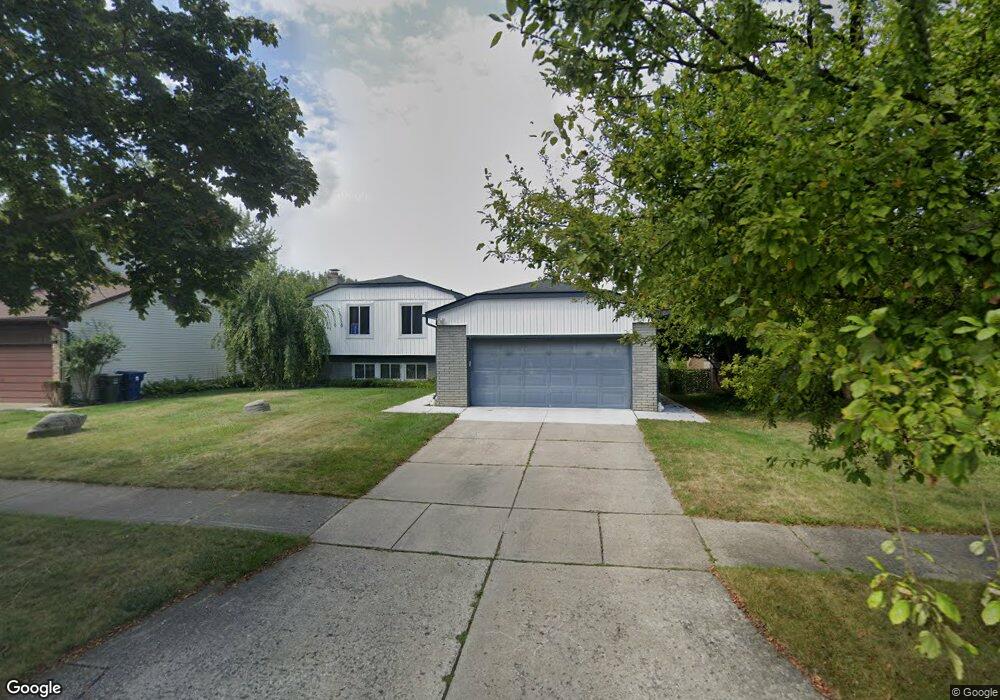
660 Sutten Dr Canton, MI 48188
Estimated Value: $357,000 - $386,000
Studio
3
Baths
1,926
Sq Ft
$196/Sq Ft
Est. Value
About This Home
This home is located at 660 Sutten Dr, Canton, MI 48188 and is currently estimated at $377,115, approximately $195 per square foot. 660 Sutten Dr is a home located in Wayne County with nearby schools including Canton High School, Salem High School, and Plymouth High School.
Ownership History
Date
Name
Owned For
Owner Type
Purchase Details
Closed on
Apr 14, 2021
Sold by
Dick Gina M and Shiple Gina
Bought by
Anton Stephen
Current Estimated Value
Purchase Details
Closed on
May 3, 2017
Sold by
Anton Stephen L
Bought by
Anton Stephen L
Purchase Details
Closed on
Apr 26, 2013
Sold by
Anton Stephen L and Anton Traci
Bought by
Anton Stephen L
Home Financials for this Owner
Home Financials are based on the most recent Mortgage that was taken out on this home.
Original Mortgage
$75,000
Interest Rate
3.38%
Mortgage Type
New Conventional
Purchase Details
Closed on
May 14, 1997
Sold by
Walke Marvia and Walke Richard
Bought by
Mazzoni Chester and Mazzoni Rebecca
Create a Home Valuation Report for This Property
The Home Valuation Report is an in-depth analysis detailing your home's value as well as a comparison with similar homes in the area
Home Values in the Area
Average Home Value in this Area
Purchase History
| Date | Buyer | Sale Price | Title Company |
|---|---|---|---|
| Anton Stephen | -- | None Available | |
| Anton Stephen L | -- | None Available | |
| Anton Stephen L | -- | First American Title Ins Co | |
| Mazzoni Chester | $82,000 | -- |
Source: Public Records
Mortgage History
| Date | Status | Borrower | Loan Amount |
|---|---|---|---|
| Previous Owner | Anton Stephen L | $75,000 |
Source: Public Records
Tax History
| Year | Tax Paid | Tax Assessment Tax Assessment Total Assessment is a certain percentage of the fair market value that is determined by local assessors to be the total taxable value of land and additions on the property. | Land | Improvement |
|---|---|---|---|---|
| 2025 | $1,877 | $177,600 | $0 | $0 |
| 2024 | $1,823 | $154,900 | $0 | $0 |
| 2023 | $1,738 | $148,200 | $0 | $0 |
| 2022 | $3,835 | $128,200 | $0 | $0 |
| 2021 | $3,721 | $124,400 | $0 | $0 |
| 2020 | $3,673 | $117,400 | $0 | $0 |
| 2019 | $3,609 | $115,030 | $0 | $0 |
| 2018 | $1,477 | $113,310 | $0 | $0 |
| 2017 | $3,703 | $110,800 | $0 | $0 |
| 2016 | $3,283 | $112,100 | $0 | $0 |
| 2015 | $8,118 | $98,060 | $0 | $0 |
| 2013 | $8,204 | $82,040 | $0 | $0 |
| 2010 | -- | $85,810 | $37,757 | $48,053 |
Source: Public Records
Map
Nearby Homes
- 41512 Pheasant Creek Dr
- 41587 Pheasant Creek Dr
- 41226 Southwind Dr Unit 138
- 41777 Princess Dr
- 41060 Northwind Dr
- 42264 Chase Dr
- 1381 Hampshire Dr
- 1402 Heritage Dr
- 42714 Lilley Pointe Dr Unit 213
- 42216 Metaline Dr
- 42739 Lilley Pointe Dr Unit 119
- 41260 Maplewood Dr Unit 5
- 42745 Redfern St
- 1530 Fairfax Dr
- 0 Cherry Hill Unit 16924
- 1878 Otter Pond Ln
- 41160 Maplewood Dr Unit 15
- 41210 Maplewood Dr Unit 10
- 1656 Walnut Ridge Cir
- 41772 Glade Rd Unit 41
Your Personal Tour Guide
Ask me questions while you tour the home.