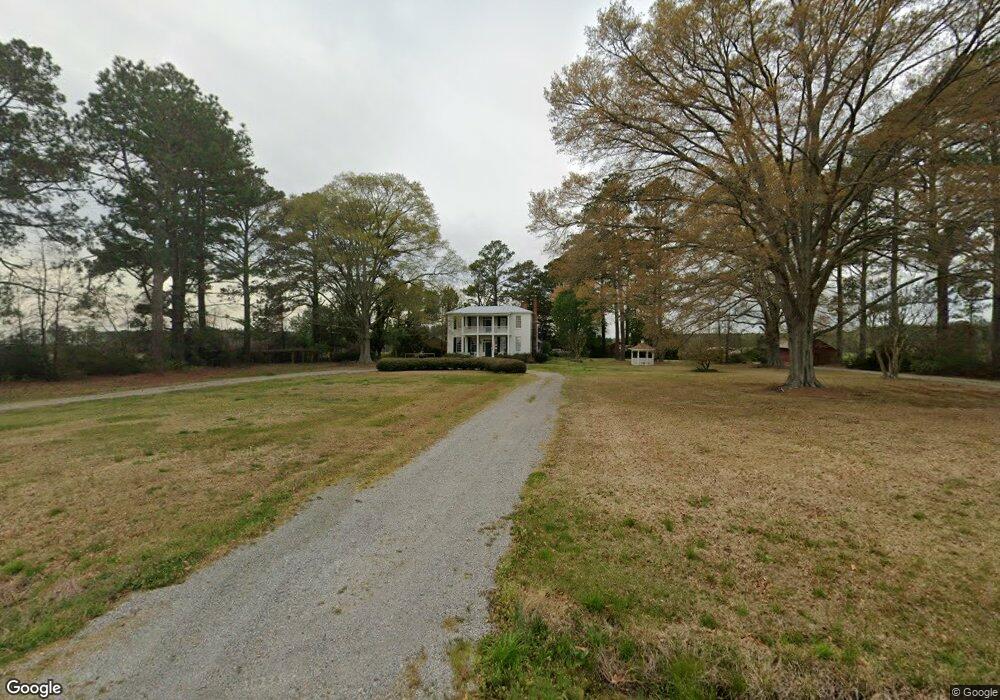
660 Union Branch Rd Corapeake, NC 27926
Estimated Value: $391,000 - $490,000
3
Beds
3
Baths
3,522
Sq Ft
$121/Sq Ft
Est. Value
About This Home
This home is located at 660 Union Branch Rd, Corapeake, NC 27926 and is currently estimated at $426,710, approximately $121 per square foot. 660 Union Branch Rd is a home located in Gates County with nearby schools including Gates County Senior High School.
Ownership History
Date
Name
Owned For
Owner Type
Purchase Details
Closed on
Feb 20, 2018
Sold by
Shultis Susan E
Bought by
Meinertzhagen Matthew and Billiot Jari J
Current Estimated Value
Home Financials for this Owner
Home Financials are based on the most recent Mortgage that was taken out on this home.
Original Mortgage
$256,410
Outstanding Balance
$219,244
Interest Rate
4.38%
Mortgage Type
New Conventional
Estimated Equity
$207,466
Purchase Details
Closed on
Jun 20, 2008
Sold by
The Historic Preservation Foundation Of
Bought by
Shultis John W and Shultis Susan E
Create a Home Valuation Report for This Property
The Home Valuation Report is an in-depth analysis detailing your home's value as well as a comparison with similar homes in the area
Purchase History
| Date | Buyer | Sale Price | Title Company |
|---|---|---|---|
| Meinertzhagen Matthew | $280,000 | None Available | |
| Shultis John W | $190,000 | None Available |
Source: Public Records
Mortgage History
| Date | Status | Borrower | Loan Amount |
|---|---|---|---|
| Open | Meinertzhagen Matthew | $256,410 |
Source: Public Records
Tax History
| Year | Tax Paid | Tax Assessment Tax Assessment Total Assessment is a certain percentage of the fair market value that is determined by local assessors to be the total taxable value of land and additions on the property. | Land | Improvement |
|---|---|---|---|---|
| 2025 | $2,399 | $314,776 | $68,720 | $246,056 |
| 2024 | $2,248 | $233,115 | $57,034 | $176,081 |
| 2023 | $2,248 | $233,115 | $57,034 | $176,081 |
| 2022 | $2,248 | $233,115 | $57,034 | $176,081 |
| 2021 | $2,132 | $233,115 | $57,034 | $176,081 |
| 2020 | $2,132 | $233,115 | $57,034 | $176,081 |
| 2019 | $2,132 | $23,311,500 | $5,703,400 | $17,608,100 |
| 2018 | $1,822 | $233,115 | $57,034 | $176,081 |
| 2017 | $1,772 | $233,115 | $0 | $0 |
| 2016 | -- | $251,366 | $0 | $0 |
| 2015 | -- | $251,366 | $0 | $0 |
| 2014 | -- | $251,366 | $0 | $0 |
Source: Public Records
Map
Nearby Homes
- Lt A-2 Tbd Middle Swamp Rd
- 858 Middle Swamp Rd
- 824 Middle Swamp Rd
- 1308 Drum Hill Rd
- TBD Brinkley Rd
- 1201 Willeyton Rd
- 1194 Willeyton Rd
- 594 Drum Hill Rd
- 188 Black Mingle Rd
- 0 Mingle Rd Unit 100564678
- Lot 3 Kings Land Ct
- 3.36AC Little Fork Rd
- 2.87AC Little Fork Rd
- 1911 Greenway Rd
- 725 Great Fork Rd
- 0 Middle Swamp Rd
- 1600 Cherry Grove Rd
- 238 Mineral Spring Rd
- 69 Kelly St
- 235 N Carolina 32
- 600 Union Branch Rd
- 759 Union Branch Rd
- 24 Drum Hill Rd
- 765 Union Branch Rd
- 637 Parkers Fork Rd
- 1318 Middle Swamp Rd
- 20 Drum Hill Rd
- 787 Union Branch Rd
- 1356 Middle Swamp Rd
- 565 Parkers Fork Rd
- 86 Drum Hill Rd
- 529 Parkers Fork Rd
- 0 Middle Swamp Rd Unit 22660448
- 0 Middle Swamp Rd Unit 22659843
- 0 Middle Swamp Rd Unit 100489164
- 0 Middle Swamp Rd Unit tbd TR1748883
- 0 Middle Swamp Rd Unit tbd 1748883
- 95 Drum Hill Rd
- 39 Brinkley Rd
Your Personal Tour Guide
Ask me questions while you tour the home.