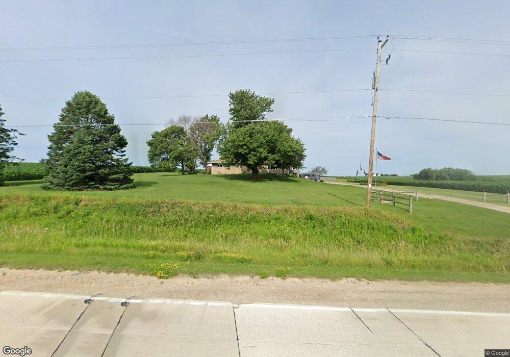
6600 N 10th St Marion, IA 52302
Estimated Value: $369,000 - $485,116
4
Beds
3
Baths
2,292
Sq Ft
$196/Sq Ft
Est. Value
About This Home
This home is located at 6600 N 10th St, Marion, IA 52302 and is currently estimated at $449,029, approximately $195 per square foot. 6600 N 10th St is a home located in Linn County with nearby schools including Novak Elementary School, Excelsior Middle School, and Linn-Mar High School.
Ownership History
Date
Name
Owned For
Owner Type
Purchase Details
Closed on
Mar 19, 2020
Sold by
Curtis Michael S and Curtis Mary L
Bought by
Curtis Michel S and Curtis Mary L
Current Estimated Value
Purchase Details
Closed on
Apr 25, 2006
Sold by
Wallace Margaret Sue
Bought by
Curtis Michael S and Curtis Mary L
Home Financials for this Owner
Home Financials are based on the most recent Mortgage that was taken out on this home.
Original Mortgage
$192,000
Outstanding Balance
$110,718
Interest Rate
6.42%
Mortgage Type
Fannie Mae Freddie Mac
Estimated Equity
$338,311
Create a Home Valuation Report for This Property
The Home Valuation Report is an in-depth analysis detailing your home's value as well as a comparison with similar homes in the area
Home Values in the Area
Average Home Value in this Area
Purchase History
| Date | Buyer | Sale Price | Title Company |
|---|---|---|---|
| Curtis Michel S | -- | None Available | |
| Curtis Michael S | $241,500 | None Available |
Source: Public Records
Mortgage History
| Date | Status | Borrower | Loan Amount |
|---|---|---|---|
| Open | Curtis Michael S | $192,000 |
Source: Public Records
Tax History Compared to Growth
Tax History
| Year | Tax Paid | Tax Assessment Tax Assessment Total Assessment is a certain percentage of the fair market value that is determined by local assessors to be the total taxable value of land and additions on the property. | Land | Improvement |
|---|---|---|---|---|
| 2025 | $5,164 | $428,100 | $84,500 | $343,600 |
| 2024 | $5,262 | $410,100 | $84,500 | $325,600 |
| 2023 | $5,262 | $410,100 | $84,500 | $325,600 |
| 2022 | $5,090 | $347,300 | $84,500 | $262,800 |
| 2021 | $5,068 | $347,300 | $84,500 | $262,800 |
| 2020 | $5,068 | $322,800 | $56,400 | $266,400 |
| 2019 | $4,692 | $300,200 | $56,400 | $243,800 |
| 2018 | $4,480 | $300,200 | $56,400 | $243,800 |
| 2017 | $4,369 | $282,200 | $56,400 | $225,800 |
| 2016 | $4,369 | $282,200 | $56,400 | $225,800 |
| 2015 | $4,403 | $282,200 | $56,400 | $225,800 |
| 2014 | $4,266 | $273,100 | $56,400 | $216,700 |
| 2013 | $3,956 | $273,100 | $56,400 | $216,700 |
Source: Public Records
Map
Nearby Homes
- 1605 Valentine Dr
- 1789 Glen Rock Cir
- 1727 Hunters Creek Way Unit 1727
- 1823 Glen Rock Cir
- 5524 Cimarron Ct
- 1845 Hunters Creek Way Unit 1845
- 1600 Hunters Creek Way Unit 1600
- 2239 Royal Oak Ridge Rd
- 2027 Royal Oak Ridge Rd
- 2069 Royal Oak Ridge Rd
- 2155 Royal Oak Ridge Rd
- 1562 Hunters Creek Way Unit 1562
- 2070 Royal Oak Ridge Rd
- 1350 Huntington Hills Dr
- 5936 Cedar Ridge Dr
- 5510 Hunters Ridge Ct
- 5760 Hertz Dr
- 2970 Covey Run Ct
- 2935 Clubhouse Dr
- 0 Lot 1 Hunters Field 13th Addition
- 6404 N 10th St
- 6890 White Gate Ct
- 6684 White Gate Ct
- 6310 N 10th St
- 6550 White Gate Ct
- 6925 White Gate Ct
- 6500 White Gate Ct
- 6843 White Gate Ct
- 6450 White Gate Ct
- 6400 White Gate Ct
- 6763 White Gate Ct
- 6691 White Gate Ct
- 6601 White Gate Ct
- 6551 White Gate Ct
- 6501 White Gate Ct
- 6300 White Gate Ct
- 7000 N 10th St
- 6451 White Gate Ct
- 6401 White Gate Ct
- 6351 White Gate Ct