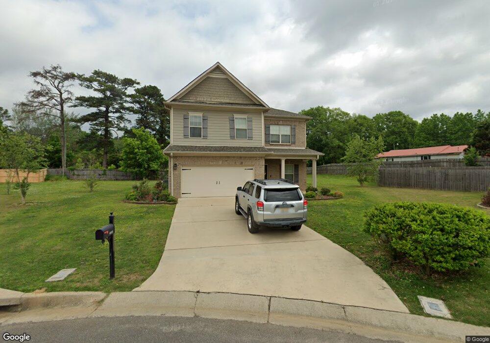
6600 Rice Cir Unit 6p Bessemer, AL 35022
Estimated Value: $317,795 - $379,000
4
Beds
3
Baths
2,794
Sq Ft
$128/Sq Ft
Est. Value
About This Home
This home is located at 6600 Rice Cir Unit 6p, Bessemer, AL 35022 and is currently estimated at $356,449, approximately $127 per square foot. 6600 Rice Cir Unit 6p is a home located in Jefferson County with nearby schools including Mcadory Middle School, Mcadory High School, and The Hillsboro School.
Ownership History
Date
Name
Owned For
Owner Type
Purchase Details
Closed on
Sep 27, 2023
Sold by
Inc-Birmingham D R Horton
Bought by
Green Tila-Monet and Mayfield Asia
Current Estimated Value
Purchase Details
Closed on
Jul 30, 2018
Sold by
Sdh Birmingham Llc
Bought by
Houston James P and Houston Krystle L
Home Financials for this Owner
Home Financials are based on the most recent Mortgage that was taken out on this home.
Original Mortgage
$214,608
Interest Rate
4.5%
Mortgage Type
New Conventional
Purchase Details
Closed on
Mar 14, 2018
Sold by
Walking Fern Properties Ll
Bought by
Sdh Birmingham Llc
Create a Home Valuation Report for This Property
The Home Valuation Report is an in-depth analysis detailing your home's value as well as a comparison with similar homes in the area
Home Values in the Area
Average Home Value in this Area
Purchase History
| Date | Buyer | Sale Price | Title Company |
|---|---|---|---|
| Green Tila-Monet | $334,900 | None Listed On Document | |
| Houston James P | $221,245 | -- | |
| Sdh Birmingham Llc | $117,000 | -- |
Source: Public Records
Mortgage History
| Date | Status | Borrower | Loan Amount |
|---|---|---|---|
| Previous Owner | Houston James P | $214,608 |
Source: Public Records
Tax History Compared to Growth
Tax History
| Year | Tax Paid | Tax Assessment Tax Assessment Total Assessment is a certain percentage of the fair market value that is determined by local assessors to be the total taxable value of land and additions on the property. | Land | Improvement |
|---|---|---|---|---|
| 2024 | $1,613 | $33,260 | -- | -- |
| 2022 | $1,645 | $33,900 | $2,500 | $31,400 |
| 2021 | $1,364 | $28,280 | $2,500 | $25,780 |
| 2020 | $1,469 | $23,290 | $2,500 | $20,790 |
| 2019 | $1,114 | $23,300 | $0 | $0 |
| 2018 | $130 | $2,600 | $0 | $0 |
| 2017 | $130 | $2,600 | $0 | $0 |
| 2016 | $130 | $2,600 | $0 | $0 |
| 2015 | $130 | $2,600 | $0 | $0 |
| 2014 | $251 | $2,600 | $0 | $0 |
| 2013 | $251 | $2,600 | $0 | $0 |
Source: Public Records
Map
Nearby Homes
- 3930 Dodd Rd SE
- 3318 Morgan Rd
- 2005 Yancy Dr
- 6537 Oak Crest Cove
- 2100 Russet Meadows Ln
- 4100 S Shades Crest Rd
- 3989 Woodhaven Rd
- 6113 Russet Meadows Cir
- 4019 Adrian St
- 2215 Shiver Dr Unit 2 lots
- 4045 S Shades Crest Rd
- 1800 Southpointe Dr
- 600 Crest View Cir
- 1776 Southpointe Dr Unit 35
- 0 County Road 52 Unit 1359096
- 4372 S Shades Crest Rd Unit 1
- 1860 Russet Hill Cir
- 3600 Burnham Place
- 4323 Highway 93
- 3608 Burnham Place
- 6600 Rice Cir
- 6600 Rice Cir Unit 6
- 6600 Rice Cir Unit 6
- 6604 Rice Cir
- 6604 Rice Cir Unit 7
- 6604 Rice Cir Unit 7p
- 6601 Rice Cir
- 6601 Rice Cir Unit 5
- 6601 Rice Cir Unit 5p
- 3961 Dodd Rd SE
- 3954 Dodd Rd SE
- 6608 Rice Cir
- 6608 Rice Cir Unit 8
- 6605 Rice Cir
- 6507 Creek Cir
- 6507 Creek Cir Unit 15p
- 6609 Rice Cir
- 6612 Rice Cir
- 6400 Dodd Ln
- 6503 Creek Cir