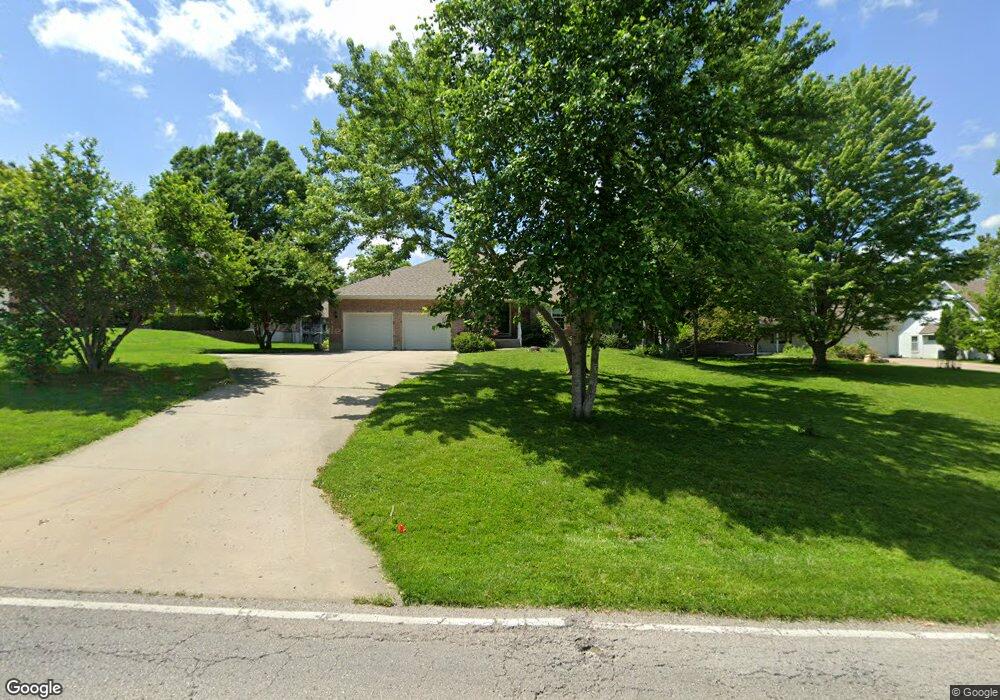
6600 Woodson Rd Raytown, MO 64133
Estimated Value: $364,000 - $440,000
3
Beds
3
Baths
2,823
Sq Ft
$145/Sq Ft
Est. Value
About This Home
This home is located at 6600 Woodson Rd, Raytown, MO 64133 and is currently estimated at $408,214, approximately $144 per square foot. 6600 Woodson Rd is a home located in Jackson County with nearby schools including Norfleet Elementary School, Raytown Central Middle School, and Raytown South High School.
Ownership History
Date
Name
Owned For
Owner Type
Purchase Details
Closed on
Aug 23, 2000
Sold by
Lykins Barbara J and Lykins Walsh M
Bought by
Lykins Barbara J and Walsh Christine M
Current Estimated Value
Home Financials for this Owner
Home Financials are based on the most recent Mortgage that was taken out on this home.
Original Mortgage
$81,000
Interest Rate
8.15%
Mortgage Type
Purchase Money Mortgage
Purchase Details
Closed on
Oct 25, 1999
Sold by
Beverly A Mettlen Riley Robert E
Bought by
Lykins Barbara J and Walsh Christine M
Create a Home Valuation Report for This Property
The Home Valuation Report is an in-depth analysis detailing your home's value as well as a comparison with similar homes in the area
Home Values in the Area
Average Home Value in this Area
Purchase History
| Date | Buyer | Sale Price | Title Company |
|---|---|---|---|
| Lykins Barbara J | -- | Stewart Title | |
| Lykins Barbara J | -- | -- |
Source: Public Records
Mortgage History
| Date | Status | Borrower | Loan Amount |
|---|---|---|---|
| Closed | Lykins Barbara J | $81,000 |
Source: Public Records
Tax History Compared to Growth
Tax History
| Year | Tax Paid | Tax Assessment Tax Assessment Total Assessment is a certain percentage of the fair market value that is determined by local assessors to be the total taxable value of land and additions on the property. | Land | Improvement |
|---|---|---|---|---|
| 2025 | $7,215 | $80,659 | $5,607 | $75,052 |
| 2024 | $7,167 | $79,984 | $6,895 | $73,089 |
| 2023 | $7,167 | $79,984 | $5,960 | $74,024 |
| 2022 | $5,737 | $60,990 | $6,703 | $54,287 |
| 2021 | $5,757 | $60,990 | $6,703 | $54,287 |
| 2020 | $5,280 | $55,401 | $6,703 | $48,698 |
| 2019 | $5,252 | $55,401 | $6,703 | $48,698 |
| 2018 | $4,413 | $48,217 | $5,834 | $42,383 |
| 2017 | $4,084 | $48,217 | $5,834 | $42,383 |
| 2016 | $4,084 | $44,874 | $4,110 | $40,764 |
| 2014 | $4,009 | $43,567 | $3,990 | $39,577 |
Source: Public Records
Map
Nearby Homes
- 6710 Woodson Rd
- 6322 Norwood Ct
- 6716 Sterling Ave
- 6407 Harvard Ave
- 6828 Vermont Ave
- 6812 Wildwood Dr
- 6410 Harvard Ave
- 6727 Harvard Ave
- 6423 Harris Ave
- 6317 Harvard Ave
- 11601 E 62nd St
- 6711 Appleton Ave
- 11600 E 62nd St
- 6716 Appleton Ave
- 12101 E 65th Ct
- 10800 Lakeview Rd
- 7007 Lakeshore Dr
- 6100 Englewood Ave
- 6309 Hedges Ave
- 11701 E 61st St
- 6524 Woodson Rd
- 6604 Woodson Rd
- 11516 E 66th Terrace
- 6520 Woodson Rd
- 6608 Woodson Rd
- 11512 E 66th Terrace
- 6609 Woodson Rd
- 6601 Woodson Rd
- 6617 Woodson Rd
- 6612 Woodson Rd
- 11508 E 66th Terrace
- 11517 E 66th Terrace
- 6619 Woodson Rd
- 11513 E 66th Terrace
- 6616 Woodson Rd
- 6621 Woodson Rd
- 11504 E 66th Terrace
- 11509 E 66th Terrace
- 11516 E 67th St
- 11512 E 67th St