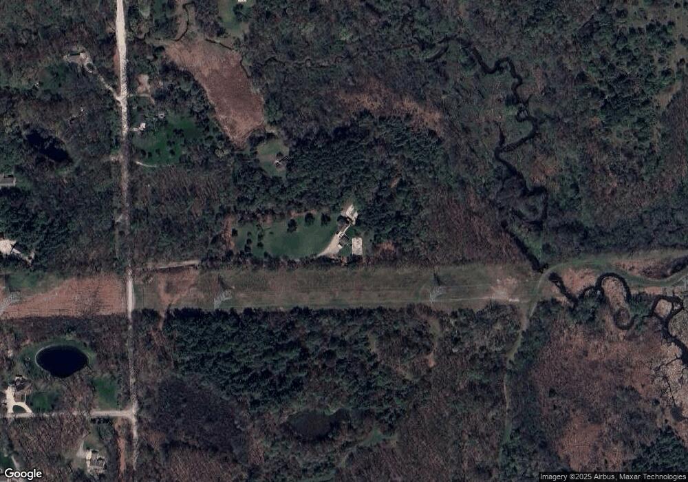
66000 Mount Vernon Rd Washington, MI 48095
Estimated Value: $620,000 - $746,000
--
Bed
2
Baths
1,848
Sq Ft
$360/Sq Ft
Est. Value
About This Home
This home is located at 66000 Mount Vernon Rd, Washington, MI 48095 and is currently estimated at $665,407, approximately $360 per square foot. 66000 Mount Vernon Rd is a home located in Macomb County with nearby schools including Hamilton Parsons Elementary School.
Ownership History
Date
Name
Owned For
Owner Type
Purchase Details
Closed on
Feb 10, 2007
Sold by
Domanski Mark A and Domanski Barbara S
Bought by
Miller Matthew J and Miller Elizabeth
Current Estimated Value
Home Financials for this Owner
Home Financials are based on the most recent Mortgage that was taken out on this home.
Original Mortgage
$304,000
Interest Rate
6.27%
Mortgage Type
Purchase Money Mortgage
Purchase Details
Closed on
Sep 2, 1995
Sold by
Puvogel D and Puvogel J
Bought by
Domanski M and Domanski B
Create a Home Valuation Report for This Property
The Home Valuation Report is an in-depth analysis detailing your home's value as well as a comparison with similar homes in the area
Home Values in the Area
Average Home Value in this Area
Purchase History
| Date | Buyer | Sale Price | Title Company |
|---|---|---|---|
| Miller Matthew J | $380,000 | Stewart Title Guaranty Co | |
| Domanski M | $73,500 | -- |
Source: Public Records
Mortgage History
| Date | Status | Borrower | Loan Amount |
|---|---|---|---|
| Previous Owner | Miller Matthew J | $304,000 |
Source: Public Records
Tax History Compared to Growth
Tax History
| Year | Tax Paid | Tax Assessment Tax Assessment Total Assessment is a certain percentage of the fair market value that is determined by local assessors to be the total taxable value of land and additions on the property. | Land | Improvement |
|---|---|---|---|---|
| 2025 | $5,052 | $267,400 | $0 | $0 |
| 2024 | $3,413 | $235,000 | $0 | $0 |
| 2023 | $3,290 | $225,400 | $0 | $0 |
| 2022 | $4,571 | $206,300 | $0 | $0 |
| 2021 | $4,472 | $177,300 | $0 | $0 |
| 2020 | $3,046 | $196,900 | $0 | $0 |
| 2019 | $4,103 | $204,200 | $0 | $0 |
| 2018 | $0 | $188,700 | $0 | $0 |
| 2017 | $3,878 | $178,100 | $90,700 | $87,400 |
| 2016 | $3,885 | $178,100 | $0 | $0 |
| 2015 | -- | $139,800 | $0 | $0 |
| 2013 | $3,768 | $127,500 | $45,600 | $81,900 |
| 2012 | $3,768 | $143,400 | $0 | $0 |
Source: Public Records
Map
Nearby Homes
- 7376 Mulberry Dr
- 63888 Dequindre Rd
- 1615 E Predmore Rd
- 000 Parks
- 65723 Mound Rd
- 67770 Overlook Trail
- 1111 Rush Rd
- 69308 Pine River Dr Unit 3
- 2560 Darren Dr
- 69166 Slating Ln
- 63150 Mound Rd
- 2032 Dean Dr
- 6209 Park Ave
- 69951 Wildflower Ln Unit 18
- 61995 Mount Vernon Rd
- 6000 29 Mile Rd
- 63023 Ivy Dr
- 0 Mound Rd Unit 50190478
- 63705 Monticello E
- Reserve Yorkshire Plan at White Oaks
- 66190 Mount Vernon Rd
- 66200 Mount Vernon Rd
- 66250 Mount Vernon Rd
- 66460 Mount Vernon Rd
- 2727 Rolling Pines Ct
- 2869 Stanis Ln
- 66440 Mount Vernon Rd
- 2878 Stanis Ln
- 66255 Mount Vernon Rd
- 66550 Mount Vernon Rd
- 2777 Stanis Ln
- 2724 Rolling Pines Ct
- 66600 Mount Vernon Rd
- 66033 Mount Vernon Rd
- 66375 Mount Vernon Rd
- 66900 Dorothy Trail
- 2685 Stanis Ln
- 2786 Stanis Ln
- 65655 Mount Vernon Rd
- 3450 31 Mile Rd
