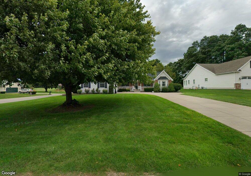
6601 Mulligan Dr Lockport, NY 14094
Estimated Value: $322,000 - $420,000
2
Beds
2
Baths
1,916
Sq Ft
$197/Sq Ft
Est. Value
About This Home
This home is located at 6601 Mulligan Dr, Lockport, NY 14094 and is currently estimated at $378,001, approximately $197 per square foot. 6601 Mulligan Dr is a home located in Niagara County with nearby schools including Newfane Elementary School, Newfane Middle School, and Newfane Senior High School.
Ownership History
Date
Name
Owned For
Owner Type
Purchase Details
Closed on
Jan 14, 2016
Sold by
Mcdonough Timothy J
Bought by
Mcdonough Timothy J and Mcdonough Tracy L
Current Estimated Value
Purchase Details
Closed on
Oct 18, 2011
Sold by
Horanburg Paula and Laese Ruth
Bought by
Mcdonough Timothy J
Home Financials for this Owner
Home Financials are based on the most recent Mortgage that was taken out on this home.
Original Mortgage
$196,650
Outstanding Balance
$76,748
Interest Rate
3.92%
Mortgage Type
New Conventional
Estimated Equity
$301,253
Purchase Details
Closed on
Aug 2, 2002
Sold by
Laese Robert
Bought by
Horanberg Paula
Create a Home Valuation Report for This Property
The Home Valuation Report is an in-depth analysis detailing your home's value as well as a comparison with similar homes in the area
Home Values in the Area
Average Home Value in this Area
Purchase History
| Date | Buyer | Sale Price | Title Company |
|---|---|---|---|
| Mcdonough Timothy J | -- | None Available | |
| Mcdonough Timothy J | $207,500 | None Available | |
| Horanberg Paula | -- | Debra Wilson |
Source: Public Records
Mortgage History
| Date | Status | Borrower | Loan Amount |
|---|---|---|---|
| Open | Mcdonough Timothy J | $196,650 |
Source: Public Records
Tax History Compared to Growth
Tax History
| Year | Tax Paid | Tax Assessment Tax Assessment Total Assessment is a certain percentage of the fair market value that is determined by local assessors to be the total taxable value of land and additions on the property. | Land | Improvement |
|---|---|---|---|---|
| 2024 | $7,197 | $344,800 | $32,000 | $312,800 |
| 2023 | $6,829 | $310,000 | $32,000 | $278,000 |
| 2022 | $7,205 | $282,000 | $32,000 | $250,000 |
| 2021 | $7,659 | $237,500 | $32,000 | $205,500 |
| 2020 | $6,980 | $237,500 | $32,000 | $205,500 |
| 2019 | $6,767 | $215,000 | $32,000 | $183,000 |
| 2018 | $6,951 | $215,000 | $32,000 | $183,000 |
| 2017 | $6,767 | $203,200 | $32,000 | $171,200 |
| 2016 | $6,508 | $203,200 | $32,000 | $171,200 |
| 2015 | -- | $200,000 | $30,400 | $169,600 |
| 2014 | -- | $200,000 | $30,400 | $169,600 |
Source: Public Records
Map
Nearby Homes
- 6603 Mulligan Dr
- 4307 Lake Ave
- 4311 Lake Ave
- 6358 Ridge Rd
- 3902 Lockport Olcott Rd
- 6361 Old Niagara Rd Unit 6365
- 4180 Day Rd
- 3980 Ridgelea Dr
- 225 Center St
- 6077 Ridge Rd
- 3708 Lockport Olcott Rd
- 82 Lake Ave
- 225 Olcott St
- 5986 Ridge Rd
- 166 Olcott St
- 2 Harwood St
- 246 Clinton St
- 225 Clinton St
- 14 Glenwood Ave
- 42 Beverly Ave
- 4190 Club House Dr
- 4188 Club House Dr
- 6602 Mulligan Dr
- 4192 Club House Dr
- 6604 Mulligan Dr
- 4194 Club House Dr
- 4180 Lake Ave
- 4168 Lake Ave
- 6606 Mulligan Dr
- 4196 Club House Dr
- 6608 Mulligan Dr
- 4162 Lake Ave
- 6612 Mulligan Dr
- 4202 Lake Ave
- 4169 Lake Ave
- 4200 Lake Ave
- 4206 Lake Ave
- 4140 Lake Ave
- 4136 Lake Ave
- 4212 Lake Ave
