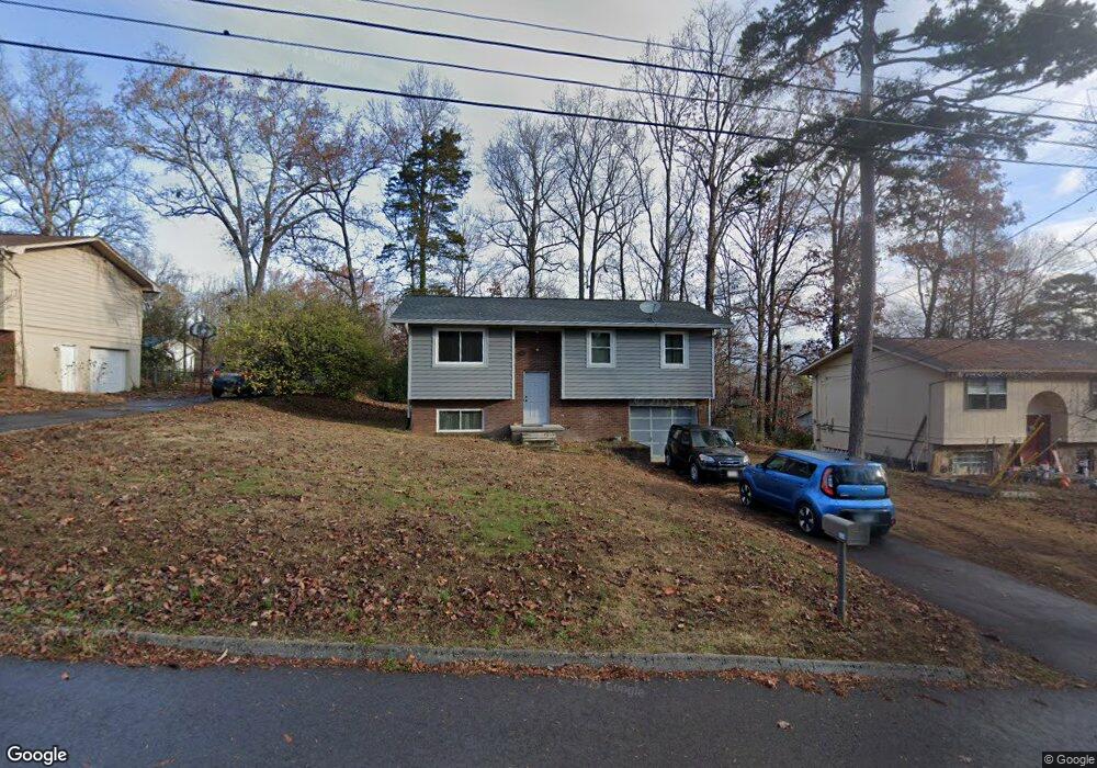
6601 Rock Bridge Ln Knoxville, TN 37921
West Knoxville NeighborhoodEstimated Value: $243,908 - $277,000
3
Beds
2
Baths
976
Sq Ft
$268/Sq Ft
Est. Value
About This Home
This home is located at 6601 Rock Bridge Ln, Knoxville, TN 37921 and is currently estimated at $261,727, approximately $268 per square foot. 6601 Rock Bridge Ln is a home located in Knox County with nearby schools including Amherst Elementary School, Northwest Middle School, and Karns High School.
Ownership History
Date
Name
Owned For
Owner Type
Purchase Details
Closed on
Aug 21, 2023
Sold by
French Donna B
Bought by
French Donna B and French Shannon J
Current Estimated Value
Purchase Details
Closed on
Jul 16, 1999
Sold by
Gillespie Wallace C
Bought by
Ballard Donna F
Home Financials for this Owner
Home Financials are based on the most recent Mortgage that was taken out on this home.
Original Mortgage
$54,400
Interest Rate
7.43%
Create a Home Valuation Report for This Property
The Home Valuation Report is an in-depth analysis detailing your home's value as well as a comparison with similar homes in the area
Home Values in the Area
Average Home Value in this Area
Purchase History
| Date | Buyer | Sale Price | Title Company |
|---|---|---|---|
| French Donna B | -- | None Listed On Document | |
| Ballard Donna F | $68,000 | Abstract Title Company |
Source: Public Records
Mortgage History
| Date | Status | Borrower | Loan Amount |
|---|---|---|---|
| Previous Owner | Ballard Donna F | $54,400 |
Source: Public Records
Tax History Compared to Growth
Tax History
| Year | Tax Paid | Tax Assessment Tax Assessment Total Assessment is a certain percentage of the fair market value that is determined by local assessors to be the total taxable value of land and additions on the property. | Land | Improvement |
|---|---|---|---|---|
| 2024 | $1,342 | $36,175 | $0 | $0 |
| 2023 | $1,342 | $36,175 | $0 | $0 |
| 2022 | $562 | $36,175 | $0 | $0 |
| 2021 | $828 | $18,050 | $0 | $0 |
| 2020 | $828 | $18,050 | $0 | $0 |
| 2019 | $828 | $18,050 | $0 | $0 |
| 2018 | $828 | $18,050 | $0 | $0 |
| 2017 | $828 | $18,050 | $0 | $0 |
| 2016 | $1,183 | $0 | $0 | $0 |
| 2015 | $1,183 | $0 | $0 | $0 |
| 2014 | $1,183 | $0 | $0 | $0 |
Source: Public Records
Map
Nearby Homes
- 5812 Wexford Ln
- 6721 Ellesmere Dr NW
- 6513 Trousdale Rd
- 6416 Trousdale Rd
- 6400 Mill Creek Ln Unit 3
- 2834 Barnard Rd
- 6905 Ellesmere Dr
- 6409 Shrewsbury Dr NW
- 6823 Silent Brook Ln
- 0 Orabella Rd Unit 1308917
- 2308 Woods Smith Rd
- 6011 Rolling Ridge Dr
- 5400 Summitridge Ln
- 2823 Sood Rd
- 2834 Bradley Lake Ln NW
- 4433 Balraj Ln
- 5405 Crooked Pine Ln
- 2453 Maple Crest Ln
- 6008 Autumn Oaks Ln
- 2444 Brierbrook Ln
- 6605 Rock Bridge Ln
- 6517 Rock Bridge Ln
- 6528 Hunters Glen Dr
- 6532 Hunters Glen Dr
- 6524 Hunters Glen Dr
- 6511 Rock Bridge Ln
- 6609 Rock Bridge Ln
- 6604 Rockbridge Ln NW
- 6600 Rock Bridge Ln
- 6604 Rock Bridge Ln
- 6536 Hunters Glen Dr
- 6608 Rockbridge Ln NW
- 6505 Rock Bridge Ln
- 6520 Rock Bridge Ln
- 6520 Hunters Glen Dr
- 6608 Rock Bridge Ln
- 6613 Rock Bridge Ln
- 6540 Hunters Glen Dr
- 6525 Hunters Glen Dr
- 6516 Rock Bridge Ln