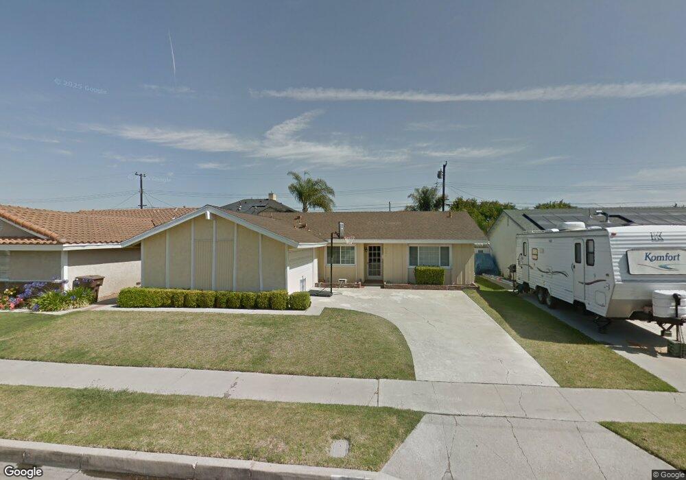
6601 Stanford Ave Garden Grove, CA 92845
West Garden Grove NeighborhoodEstimated Value: $1,062,000 - $1,080,758
3
Beds
2
Baths
1,696
Sq Ft
$632/Sq Ft
Est. Value
About This Home
This home is located at 6601 Stanford Ave, Garden Grove, CA 92845 and is currently estimated at $1,072,690, approximately $632 per square foot. 6601 Stanford Ave is a home located in Orange County with nearby schools including Garden Park Elementary School, Hilton D. Bell Intermediate School, and Pacifica High School.
Ownership History
Date
Name
Owned For
Owner Type
Purchase Details
Closed on
Dec 16, 2003
Sold by
Carlson Jeffrey J and Carlson Anna Marie
Bought by
Kim David D and Kim Jennifer E
Current Estimated Value
Home Financials for this Owner
Home Financials are based on the most recent Mortgage that was taken out on this home.
Original Mortgage
$357,600
Outstanding Balance
$137,322
Interest Rate
3.45%
Mortgage Type
Purchase Money Mortgage
Estimated Equity
$935,368
Create a Home Valuation Report for This Property
The Home Valuation Report is an in-depth analysis detailing your home's value as well as a comparison with similar homes in the area
Home Values in the Area
Average Home Value in this Area
Purchase History
| Date | Buyer | Sale Price | Title Company |
|---|---|---|---|
| Kim David D | $447,000 | Lawyers Title Company |
Source: Public Records
Mortgage History
| Date | Status | Borrower | Loan Amount |
|---|---|---|---|
| Open | Kim David D | $357,600 | |
| Closed | Kim David D | $44,700 |
Source: Public Records
Tax History Compared to Growth
Tax History
| Year | Tax Paid | Tax Assessment Tax Assessment Total Assessment is a certain percentage of the fair market value that is determined by local assessors to be the total taxable value of land and additions on the property. | Land | Improvement |
|---|---|---|---|---|
| 2025 | $8,167 | $640,643 | $535,328 | $105,315 |
| 2024 | $8,167 | $628,082 | $524,832 | $103,250 |
| 2023 | $8,010 | $615,767 | $514,541 | $101,226 |
| 2022 | $7,830 | $603,694 | $504,452 | $99,242 |
| 2021 | $7,745 | $591,857 | $494,560 | $97,297 |
| 2020 | $7,643 | $585,789 | $489,489 | $96,300 |
| 2019 | $7,459 | $574,303 | $479,891 | $94,412 |
| 2018 | $7,306 | $563,043 | $470,482 | $92,561 |
| 2017 | $7,201 | $552,003 | $461,256 | $90,747 |
| 2016 | $6,847 | $541,180 | $452,212 | $88,968 |
| 2015 | $6,749 | $533,051 | $445,419 | $87,632 |
| 2014 | $6,590 | $522,610 | $436,694 | $85,916 |
Source: Public Records
Map
Nearby Homes
- 6891 Stanford Ave
- 12871 Taylor St
- 6949 Danvers Dr
- 6971 Knollcrest Ln Unit 47
- 6925 Brightwood Ln Unit 108
- 13036 Springarden Ln
- 13040 Springarden Ln
- 12202 Wutzke St
- 13100 Melanie Ln Unit 99
- 6532 Bestel Ave
- 6631 Chapman Ave
- 6801 Chapman Ave
- 13371 Springdale St
- 13472 Willamette Dr
- 5902 Belgrave Ave
- 5832 Ludlow Ave
- 6212 Santa Rita Ave
- 12581 George Reyburn Rd
- 12586 George Reyburn Rd
- 6751 Klondike Ave
- 6591 Stanford Ave
- 6611 Stanford Ave
- 6602 Cerulean Ave
- 6592 Cerulean Ave
- 6612 Cerulean Ave
- 6619 Stanford Ave
- 6582 Cerulean Ave
- 6622 Cerulean Ave
- 6561 Stanford Ave
- 6621 Stanford Ave
- 6632 Cerulean Ave
- 6572 Cerulean Ave
- 12731 Canter St
- 6631 Stanford Ave
- 6551 Stanford Ave
- 6601 Cerulean Ave
- 6552 Cerulean Ave
- 6642 Cerulean Ave
- 6591 Cerulean Ave
- 6611 Cerulean Ave