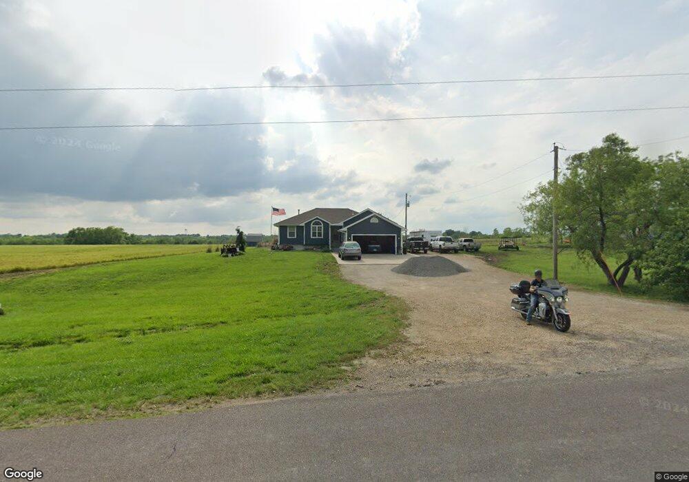
6601 SW Morrill Rd Topeka, KS 66619
Estimated Value: $168,000 - $266,011
3
Beds
2
Baths
1,439
Sq Ft
$159/Sq Ft
Est. Value
About This Home
This home is located at 6601 SW Morrill Rd, Topeka, KS 66619 and is currently estimated at $228,253, approximately $158 per square foot. 6601 SW Morrill Rd is a home located in Shawnee County with nearby schools including Pauline Central Primary School, Pauline South Intermediate School, and Washburn Rural Middle School.
Ownership History
Date
Name
Owned For
Owner Type
Purchase Details
Closed on
Aug 29, 2019
Sold by
Holthaus Shawn A and Holthaus Bobbi D
Bought by
The 6601 Sw Morill Rd Trust
Current Estimated Value
Purchase Details
Closed on
Sep 16, 2013
Sold by
Yenke 69Th Land Trust
Bought by
Cana Investments Llc
Create a Home Valuation Report for This Property
The Home Valuation Report is an in-depth analysis detailing your home's value as well as a comparison with similar homes in the area
Home Values in the Area
Average Home Value in this Area
Purchase History
| Date | Buyer | Sale Price | Title Company |
|---|---|---|---|
| The 6601 Sw Morill Rd Trust | -- | None Available | |
| Cana Investments Llc | -- | None Available |
Source: Public Records
Tax History Compared to Growth
Tax History
| Year | Tax Paid | Tax Assessment Tax Assessment Total Assessment is a certain percentage of the fair market value that is determined by local assessors to be the total taxable value of land and additions on the property. | Land | Improvement |
|---|---|---|---|---|
| 2025 | $4,317 | $32,001 | -- | -- |
| 2023 | $4,317 | $29,588 | $0 | $0 |
| 2022 | $3,725 | $26,417 | $0 | $0 |
| 2021 | $3,216 | $23,378 | $0 | $0 |
| 2020 | $3,009 | $22,264 | $0 | $0 |
| 2019 | $2,924 | $21,616 | $0 | $0 |
| 2018 | $2,829 | $20,987 | $0 | $0 |
| 2017 | $2,809 | $20,574 | $0 | $0 |
| 2014 | -- | $20,171 | $0 | $0 |
Source: Public Records
Map
Nearby Homes
- 7130 SW Lario Ln
- 0 SW Burlingame Rd
- 4498 SW Moundview Dr
- XXXX SW Moundview Dr
- 5515 SW Mission Ave
- 5614 SW Fairlawn Rd
- 3746 SW Topeka Blvd
- 00 SW 85th St
- 224 SW Terra Dr
- 6036 SE Adams St
- 175 SE Willow Way St
- 3313 SW 46th St
- 156 SE Willow Way St Unit 156
- 154 SE Willow Way St Unit 154
- 149 SE Willow Way St
- 318 SE 48th St
- 113 SE Willow Way St
- 115 SE Willow Way St
- 4406 SW Lakeside Dr
- 4334 SW Lakeside Dr
- 6601 SW Crestwood Dr
- 6603 SW Crestwood Dr
- 6609 SW Crestwood Dr
- 6600 SW Crestwood Dr
- 6611 SW Crestwood Dr
- 2202 SW 66th St
- 6538 SW Morrill Rd
- 6604 SW Crestwood Dr
- 6615 SW Crestwood Dr
- 2200 SW 66th St
- 6613 SW Briarcliff Rd
- 6621 SW Crestwood Dr
- 2117 SW 66th St
- 6611 SW Briarcliff Rd
- 2116 SW 66th St
- 6622 SW Crestwood Dr
- 2114 SW 66th St
- 6625 SW Crestwood Dr
- 2115 SW 66th St
- 6627 SW Crestwood Dr