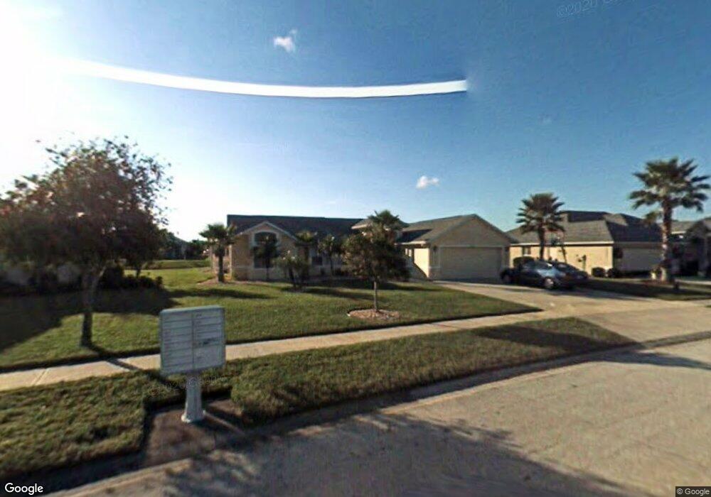
6607 Mansour Ln Port Orange, FL 32128
Waters Edge NeighborhoodEstimated Value: $436,733 - $492,000
3
Beds
2
Baths
1,961
Sq Ft
$236/Sq Ft
Est. Value
About This Home
This home is located at 6607 Mansour Ln, Port Orange, FL 32128 and is currently estimated at $462,933, approximately $236 per square foot. 6607 Mansour Ln is a home located in Volusia County with nearby schools including Cypress Creek Elementary School, Creekside Middle School, and Spruce Creek High School.
Ownership History
Date
Name
Owned For
Owner Type
Purchase Details
Closed on
Feb 28, 2020
Sold by
Desai Kailesh R and Desai Sonal K
Bought by
Patel Ketankumar C and Patel Sushma K
Current Estimated Value
Purchase Details
Closed on
Apr 15, 2002
Sold by
Intervest At Waters Edge Ltd
Bought by
Desai Kailesh R and Desai Sonal K
Home Financials for this Owner
Home Financials are based on the most recent Mortgage that was taken out on this home.
Original Mortgage
$181,800
Interest Rate
6.89%
Mortgage Type
Purchase Money Mortgage
Create a Home Valuation Report for This Property
The Home Valuation Report is an in-depth analysis detailing your home's value as well as a comparison with similar homes in the area
Home Values in the Area
Average Home Value in this Area
Purchase History
| Date | Buyer | Sale Price | Title Company |
|---|---|---|---|
| Patel Ketankumar C | $330,000 | Attorney | |
| Desai Kailesh R | $202,000 | -- |
Source: Public Records
Mortgage History
| Date | Status | Borrower | Loan Amount |
|---|---|---|---|
| Previous Owner | Desai Kailesh R | $181,800 |
Source: Public Records
Tax History Compared to Growth
Tax History
| Year | Tax Paid | Tax Assessment Tax Assessment Total Assessment is a certain percentage of the fair market value that is determined by local assessors to be the total taxable value of land and additions on the property. | Land | Improvement |
|---|---|---|---|---|
| 2025 | $6,327 | $389,501 | $85,000 | $304,501 |
| 2024 | $6,327 | $390,025 | $85,000 | $305,025 |
| 2023 | $6,327 | $404,511 | $105,000 | $299,511 |
| 2022 | $5,766 | $363,940 | $65,500 | $298,440 |
| 2021 | $5,238 | $273,130 | $41,000 | $232,130 |
| 2019 | $2,636 | $174,035 | $0 | $0 |
| 2018 | $2,641 | $170,790 | $0 | $0 |
| 2017 | $2,652 | $167,277 | $0 | $0 |
| 2016 | $2,741 | $163,836 | $0 | $0 |
| 2015 | $2,820 | $162,697 | $0 | $0 |
| 2014 | $2,838 | $161,406 | $0 | $0 |
Source: Public Records
Map
Nearby Homes
- 1852 Tara Marie Ln
- 1832 Afshin Ct
- 1840 Tara Marie Ln
- 1824 Tara Marie Ln
- 1819 Tara Marie Ln
- 6808 Forkmead Ln
- 6804 Forkmead Ln
- 1923 Mendocino Ln
- 830 Airport Rd Unit 206
- 2916 Cypress Ridge Trail
- 1637 Armin Ct
- 2016 Cornell Place
- 2012 Cornell Place
- 2017 Cornell Place
- 1727 Goosecross Ct
- 2134 Springwater Ln
- 6453 Nona Ct
- 0 Charles St
- 3123 Waterway Place
- 7093 SE 113th Ln
- 6605 Mansour Ln
- 6609 Mansour Ln
- 6611 Mansour Ln
- 6606 Mansour Ln
- 1902 Rouzbeh Ct
- 6608 Mansour Ln
- 6604 Mansour Ln
- 1901 Rouzbeh Ct
- 1875 Forough Cir
- 6543 Shahab Ln
- 1803 Forough Cir
- 1802 Forough Cir
- 1903 Rouzbeh Ct
- 1874 Forough Cir
- 1873 Forough Cir
- 6544 Shahab Ln
- 6541 Shahab Ln
- 1906 Rouzbeh Ct
- 6707 Ferri Cir
- 1804 Forough Cir