6609 Crofoot Ave Waverly, MN 55390
Estimated Value: $324,414 - $336,000
3
Beds
1
Bath
1,116
Sq Ft
$296/Sq Ft
Est. Value
About This Home
This home is located at 6609 Crofoot Ave, Waverly, MN 55390 and is currently estimated at $330,104, approximately $295 per square foot. 6609 Crofoot Ave is a home located in Wright County with nearby schools including Humphrey Elementary School, Winsted Elementary School, and Howard Lake-Waverly-Winsted Middle School.
Ownership History
Date
Name
Owned For
Owner Type
Purchase Details
Closed on
Mar 27, 2020
Sold by
Jp Brooks Inc
Bought by
Royal Credit Union
Current Estimated Value
Purchase Details
Closed on
Mar 3, 2009
Sold by
Federal Home Loan Mortgage Corporation
Bought by
Dalbec Brian
Purchase Details
Closed on
Oct 12, 2007
Sold by
Family One Builders Inc
Bought by
Danyonnoh Williams
Purchase Details
Closed on
May 31, 2006
Sold by
Creative Real Estate Development Corp
Bought by
Family One Builders Inc
Create a Home Valuation Report for This Property
The Home Valuation Report is an in-depth analysis detailing your home's value as well as a comparison with similar homes in the area
Home Values in the Area
Average Home Value in this Area
Purchase History
| Date | Buyer | Sale Price | Title Company |
|---|---|---|---|
| Royal Credit Union | $242,449 | Custom Home Builders Ttl Llc | |
| Dalbec Brian | $126,500 | -- | |
| Danyonnoh Williams | $235,700 | -- | |
| Family One Builders Inc | $660,000 | -- |
Source: Public Records
Tax History Compared to Growth
Tax History
| Year | Tax Paid | Tax Assessment Tax Assessment Total Assessment is a certain percentage of the fair market value that is determined by local assessors to be the total taxable value of land and additions on the property. | Land | Improvement |
|---|---|---|---|---|
| 2025 | $3,770 | $314,900 | $70,000 | $244,900 |
| 2024 | $3,738 | $311,700 | $78,000 | $233,700 |
| 2023 | $3,394 | $316,000 | $77,000 | $239,000 |
| 2022 | $3,468 | $282,600 | $65,000 | $217,600 |
| 2021 | $3,286 | $241,600 | $43,000 | $198,600 |
| 2020 | $3,328 | $221,100 | $30,000 | $191,100 |
| 2019 | $3,062 | $216,700 | $0 | $0 |
| 2018 | $2,828 | $176,600 | $0 | $0 |
| 2017 | $2,664 | $156,300 | $0 | $0 |
| 2016 | $2,474 | $0 | $0 | $0 |
| 2015 | $2,378 | $0 | $0 | $0 |
| 2014 | -- | $0 | $0 | $0 |
Source: Public Records
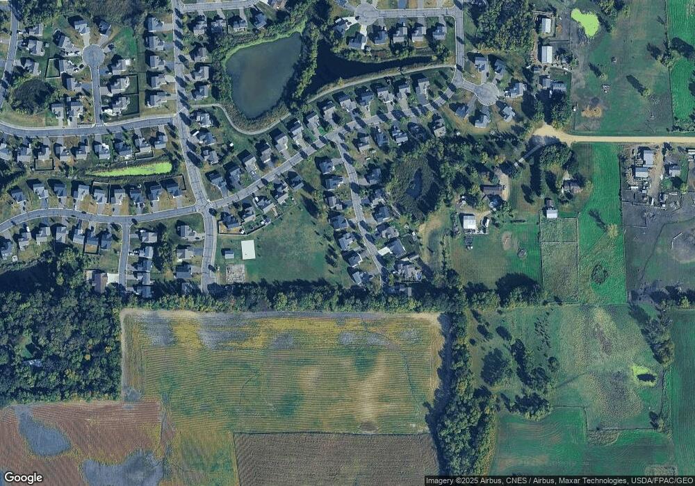
Map
Nearby Homes
- 419 66th St SW
- 6502 Dale Cir SW
- 6507 Dale Cir SW
- 2105 Birch Ln
- 2002 Apple Ln
- 2113 Birch Ln
- 2008 Apple Ln
- 2010 Apple Ln
- 1766 US Highway 12 SW
- 331 Bavaria Ln
- 1012 Brandenburg Ln
- 140 Garner Cir
- 305 Garfield Ave S
- 151 Garner Cir
- 1004 Brandenburg Cir
- 1002 Brandenburg Ln
- 1009 Brandenburg Ln
- 1002 Brandenburg Cir
- 1004 Brandenburg Ln
- The Oak Ridge Plan at Carrigan Meadows
- 6609 Crofoot Ave SW
- 6609 Crofoot Ave SW
- 6607 Crofoot Ave SW
- 6611 Crofoot Ave SW
- 6605 Crofoot Ave SW
- 6605 Crofoot Ave
- 6605 Crofoot Ave SW
- 6613 Crofoot Ave SW
- 6610 Crofoot Ave SW
- 6608 Crofoot Ave SW
- 6612 Crofoot Ave SW
- 6603 Crofoot Ave SW
- 6606 Crofoot Ave SW
- 6614 Crofoot Ave SW
- 409 66th St SW
- 6604 Crofoot Ave SW
- L7 B4 6604 Crowfoot Ave S
- 407 66th St SW
- 411 66th St SW
- 6616 Crofoot Ave SW