6609 Jim Ramsay Rd Vancleave, MS 39565
Estimated Value: $191,228 - $366,000
Studio
2
Baths
1,460
Sq Ft
$181/Sq Ft
Est. Value
About This Home
This home is located at 6609 Jim Ramsay Rd, Vancleave, MS 39565 and is currently estimated at $264,057, approximately $180 per square foot. 6609 Jim Ramsay Rd is a home located in Jackson County with nearby schools including Vancleave Lower Elementary School, Vancleave Upper Elementary School, and Vancleave Middle School.
Ownership History
Date
Name
Owned For
Owner Type
Purchase Details
Closed on
Jan 31, 2022
Sold by
Ates Leburg Patricia Fay
Bought by
Ates Gary Michael and Ates Jennifer Michelle
Current Estimated Value
Home Financials for this Owner
Home Financials are based on the most recent Mortgage that was taken out on this home.
Original Mortgage
$122,100
Outstanding Balance
$112,009
Interest Rate
3.22%
Mortgage Type
New Conventional
Estimated Equity
$152,048
Create a Home Valuation Report for This Property
The Home Valuation Report is an in-depth analysis detailing your home's value as well as a comparison with similar homes in the area
Home Values in the Area
Average Home Value in this Area
Purchase History
| Date | Buyer | Sale Price | Title Company |
|---|---|---|---|
| Ates Gary Michael | -- | Island Winds Title | |
| Ates Gary Michael | -- | Island Winds Title |
Source: Public Records
Mortgage History
| Date | Status | Borrower | Loan Amount |
|---|---|---|---|
| Open | Ates Gary Michael | $122,100 | |
| Closed | Ates Gary Michael | $122,100 |
Source: Public Records
Tax History
| Year | Tax Paid | Tax Assessment Tax Assessment Total Assessment is a certain percentage of the fair market value that is determined by local assessors to be the total taxable value of land and additions on the property. | Land | Improvement |
|---|---|---|---|---|
| 2025 | $1,070 | $11,531 | $2,307 | $9,224 |
| 2024 | $1,070 | $10,031 | $2,248 | $7,783 |
| 2023 | $1,204 | $15,047 | $3,372 | $11,675 |
| 2022 | $909 | $9,039 | $0 | $0 |
| 2021 | $908 | $9,039 | $9,039 | $0 |
| 2020 | $941 | $9,039 | $1,901 | $7,138 |
| 2019 | $931 | $9,039 | $1,901 | $7,138 |
| 2018 | $949 | $9,039 | $1,901 | $7,138 |
| 2017 | $1,003 | $9,345 | $1,901 | $7,444 |
| 2016 | $963 | $9,345 | $1,901 | $7,444 |
| 2015 | $828 | $81,710 | $17,830 | $63,880 |
| 2014 | $843 | $8,423 | $1,783 | $6,640 |
| 2013 | $105 | $8,423 | $1,783 | $6,640 |
Source: Public Records
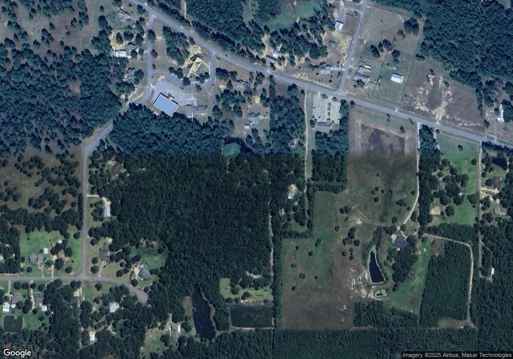
Map
Nearby Homes
- 13125 Seaman Rd
- 0 Seaman Rd Unit 4138033
- 7601 Jim Ramsay Rd
- 8721 Doobie Ct
- 0 Fairley Rd
- 6305 Morningside Dr
- None Mississippi 57
- 0 Jim Ramsay Rd Unit 4141666
- 001 Humphrey Rd
- 00 Humphrey Rd
- 11709 Bluff Ridge Rd
- 0 Ms 57 Unit 4122608
- 13206 Ridgeland Rd
- 16621 Sierra Ln
- 8900 Nannys Rd
- 8236 Stonehaven Dr
- 10305 Highway 57
- 0 Oak Ct Unit 4138408
- 0 Paige Bayou Rd
- 15526 Omas Rd
- 6601 Jim Ramsay Rd
- 6629 Jim Ramsay Rd
- 6617 Jim Ramsay Rd
- 6605 Jim Ramsay Rd
- 6510 Jim Ramsay Rd
- 13316 Little Bluff
- 6704 Little Bluff Cove
- 13312 Little Bluff Dr
- 13308 Little Bluff Cove
- 6407 Jim Ramsay Rd
- 6407 Jim Ramsay Rd
- No Number Jim Ramsay Jericho Roads
- 3704 Little Bluff Cove
- 13405 Little Bluff Dr
- 13308 Little Bluff Dr
- 13401 Jericho Rd
- 13501 Little Bluff Dr
- 6401 Jim Ramsay Rd
- 6705 Little Bluff Cove
- 6705 Little Bluff Cove
Your Personal Tour Guide
Ask me questions while you tour the home.