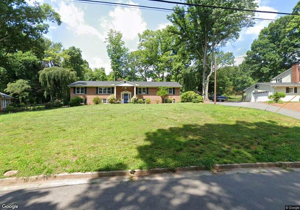
661 Brentwood Ct Winston Salem, NC 27104
Peace Haven NeighborhoodEstimated Value: $307,000 - $430,000
6
Beds
3
Baths
2,146
Sq Ft
$183/Sq Ft
Est. Value
About This Home
This home is located at 661 Brentwood Ct, Winston Salem, NC 27104 and is currently estimated at $392,812, approximately $183 per square foot. 661 Brentwood Ct is a home located in Forsyth County with nearby schools including Sherwood Forest Elementary School, Thomas Jefferson Middle School, and Mount Tabor High School.
Ownership History
Date
Name
Owned For
Owner Type
Purchase Details
Closed on
Sep 24, 2008
Sold by
Wishon Timothy J and Estate Of Jean Frances Clinard
Bought by
Elam Brian H and Elam Anderson C
Current Estimated Value
Home Financials for this Owner
Home Financials are based on the most recent Mortgage that was taken out on this home.
Original Mortgage
$136,596
Outstanding Balance
$89,053
Interest Rate
6.11%
Mortgage Type
FHA
Estimated Equity
$303,759
Create a Home Valuation Report for This Property
The Home Valuation Report is an in-depth analysis detailing your home's value as well as a comparison with similar homes in the area
Home Values in the Area
Average Home Value in this Area
Purchase History
| Date | Buyer | Sale Price | Title Company |
|---|---|---|---|
| Elam Brian H | $150,000 | None Available |
Source: Public Records
Mortgage History
| Date | Status | Borrower | Loan Amount |
|---|---|---|---|
| Open | Elam Brian H | $136,596 |
Source: Public Records
Tax History Compared to Growth
Tax History
| Year | Tax Paid | Tax Assessment Tax Assessment Total Assessment is a certain percentage of the fair market value that is determined by local assessors to be the total taxable value of land and additions on the property. | Land | Improvement |
|---|---|---|---|---|
| 2025 | $3,339 | $377,000 | $59,900 | $317,100 |
| 2024 | $3,186 | $238,000 | $53,900 | $184,100 |
| 2023 | $3,186 | $238,000 | $53,900 | $184,100 |
| 2022 | $3,127 | $238,000 | $53,900 | $184,100 |
| 2021 | $3,071 | $238,000 | $53,900 | $184,100 |
| 2020 | $2,843 | $205,900 | $52,900 | $153,000 |
| 2019 | $2,864 | $205,900 | $52,900 | $153,000 |
| 2018 | $2,720 | $205,900 | $52,900 | $153,000 |
| 2016 | $2,674 | $203,167 | $52,868 | $150,299 |
| 2015 | $2,652 | $203,167 | $52,868 | $150,299 |
| 2014 | $2,571 | $203,167 | $52,868 | $150,299 |
Source: Public Records
Map
Nearby Homes
- 431 Hearthside Dr
- 435 Burkes Crossing Dr
- 3980 Seaton Rd
- 4813 Tiffany Ave
- 543 Barrett Rd
- 626 Willowbrook Ln
- 581 Clyde Dr
- 305 Rockmont Dr
- 5025 Mereworth Ct
- 204 Bradberry Ln
- 665 Alpine Rd
- 132 Carrisbrooke Ln
- 565 Knob View Dr
- 5200 Mountain View Rd
- 5028 Whitewood Ln
- 5034 Whitewood Ln
- 5040 Whitewood Ln
- 130 Alpine Ct Unit 24
- 310 Coventry Park Ln
- 200 Coventry Park Ln
- 651 Brentwood Ct
- 671 Brentwood Ct
- 591 Westoak Trail
- 660 Brentwood Ct
- 670 Brentwood Ct
- 581 Westoak Trail
- 680 Brentwood Ct
- 650 Brentwood Ct
- 510 Lynhaven Ct
- 500 Lynhaven Ct
- 500 Hearthside Dr
- 510 Hearthside Dr
- 521 Lynhaven Ct
- 520 Lynhaven Ct
- 640 Brentwood Ct
- 690 Brentwood Ct
- 631 Brentwood Ct
- 571 Westoak Trail
- 580 Westoak Trail
- 520 Hearthside Dr