661 Dunbar Cave Rd Clarksville, TN 37043
--
Bed
2
Baths
2,250
Sq Ft
4.05
Acres
About This Home
This home is located at 661 Dunbar Cave Rd, Clarksville, TN 37043. 661 Dunbar Cave Rd is a home located in Montgomery County with nearby schools including Rossview Elementary School, Rossview Middle School, and Rossview High School.
Ownership History
Date
Name
Owned For
Owner Type
Purchase Details
Closed on
Jan 30, 2014
Sold by
First Advantage Bancorp
Bought by
Blue Hole Partners
Home Financials for this Owner
Home Financials are based on the most recent Mortgage that was taken out on this home.
Original Mortgage
$1,060,000
Outstanding Balance
$807,771
Interest Rate
4.56%
Mortgage Type
Commercial
Purchase Details
Closed on
Dec 19, 2007
Sold by
First Financial Mortgage C
Bought by
First Advantage Bancorp
Purchase Details
Closed on
Feb 28, 2001
Sold by
Easterling Susan L
Bought by
First Financial Mortgage C
Purchase Details
Closed on
Jul 7, 2000
Sold by
Easterling Warren S
Bought by
Easterling Susan L
Create a Home Valuation Report for This Property
The Home Valuation Report is an in-depth analysis detailing your home's value as well as a comparison with similar homes in the area
Home Values in the Area
Average Home Value in this Area
Purchase History
| Date | Buyer | Sale Price | Title Company |
|---|---|---|---|
| Blue Hole Partners | $470,000 | -- | |
| First Advantage Bancorp | $200,000 | -- | |
| First Financial Mortgage C | $435,000 | -- | |
| Easterling Susan L | -- | -- |
Source: Public Records
Mortgage History
| Date | Status | Borrower | Loan Amount |
|---|---|---|---|
| Open | Blue Hole Partners | $1,060,000 |
Source: Public Records
Tax History Compared to Growth
Tax History
| Year | Tax Paid | Tax Assessment Tax Assessment Total Assessment is a certain percentage of the fair market value that is determined by local assessors to be the total taxable value of land and additions on the property. | Land | Improvement |
|---|---|---|---|---|
| 2024 | $25,386 | $851,880 | $0 | $0 |
| 2023 | $25,386 | $526,080 | $0 | $0 |
| 2022 | $22,201 | $526,080 | $0 | $0 |
| 2021 | $22,342 | $529,440 | $0 | $0 |
| 2020 | $21,281 | $529,440 | $0 | $0 |
| 2019 | $21,281 | $529,440 | $0 | $0 |
| 2018 | $13,211 | $295,760 | $0 | $0 |
| 2017 | $3,801 | $160,160 | $0 | $0 |
| 2016 | $8,839 | $178,360 | $0 | $0 |
| 2015 | $12,135 | $287,920 | $0 | $0 |
| 2014 | $7,416 | $178,360 | $0 | $0 |
| 2013 | $6,261 | $142,960 | $0 | $0 |
Source: Public Records
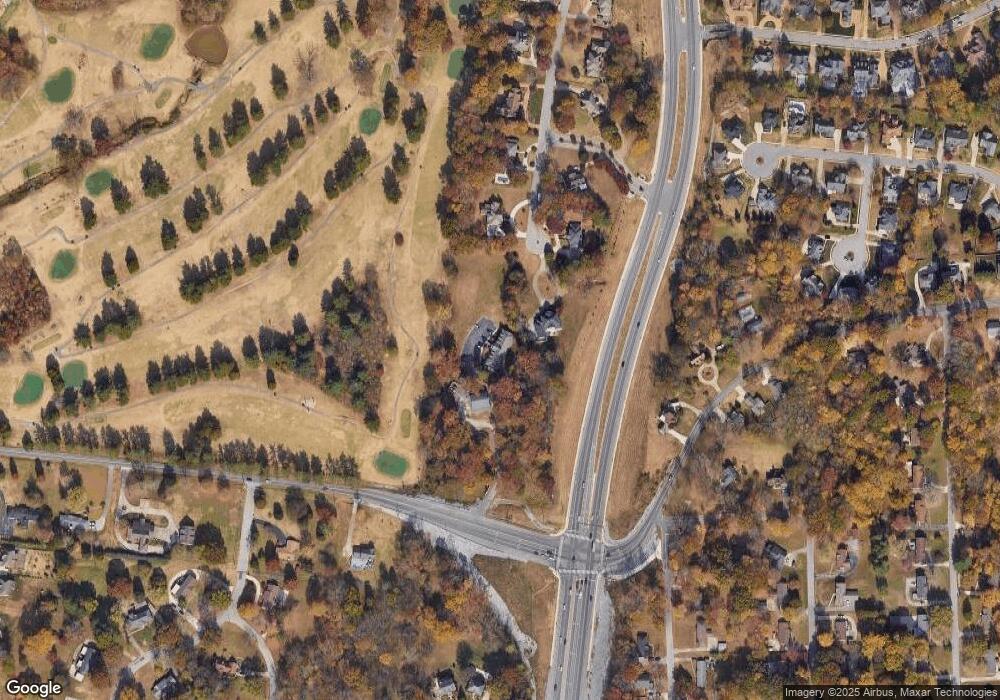
Map
Nearby Homes
- 405 Kimberly Dr
- 800 Brooke Valley Trace
- 1986 Stone Valley Ct
- 811 River Run
- 825 Salisbury Way
- 809 Laurel Dr
- 1885 Basham Ln
- 1992 Hannover Ct
- 1421 English Oak Dr
- 1413 English Oak Dr
- 1401 English Oak Dr
- 1775 Auburn Dr
- 1425 English Oak Dr
- 1387 English Oak Dr
- 1373 English Oak Dr
- 1395 English Oak Dr
- 1412 English Oak Dr
- 1330 English Oak Dr
- 1338 English Oak Dr
- Bentley Plan at The Oaks
- 49 Huntington Dr
- 29 Huntington Dr
- 0 Dunbar Cave Rd
- 813 Dunbar Cave Rd
- 630 Dunbar Cave Rd
- 27 Huntington Dr
- 24 Huntington Dr
- 109 Swan Lake Village
- 815 Dunbar Cave Rd
- 108 Swan Lake Village
- 401 Kimberly Dr
- 1817 Auburn Dr
- 808 Dunbar Cave Rd
- 25 Huntington Dr
- 1809 Warfield Dr
- 22 Huntington Dr
- 800 River Run
- 812 Dunbar Cave Rd
- 520 Warfield Blvd
- 801 River Run