661 Foreside Rd Topsham, ME 04086
Estimated Value: $464,000 - $675,093
5
Beds
2
Baths
2,052
Sq Ft
$282/Sq Ft
Est. Value
About This Home
This home is located at 661 Foreside Rd, Topsham, ME 04086 and is currently estimated at $578,031, approximately $281 per square foot. 661 Foreside Rd is a home located in Sagadahoc County with nearby schools including Mt Ararat High School.
Create a Home Valuation Report for This Property
The Home Valuation Report is an in-depth analysis detailing your home's value as well as a comparison with similar homes in the area
Home Values in the Area
Average Home Value in this Area
Tax History
| Year | Tax Paid | Tax Assessment Tax Assessment Total Assessment is a certain percentage of the fair market value that is determined by local assessors to be the total taxable value of land and additions on the property. | Land | Improvement |
|---|---|---|---|---|
| 2025 | $7,482 | $584,500 | $277,500 | $307,000 |
| 2024 | $7,156 | $572,500 | $265,500 | $307,000 |
| 2023 | $7,091 | $522,200 | $257,900 | $264,300 |
| 2022 | $7,451 | $516,700 | $252,400 | $264,300 |
| 2021 | $7,383 | $465,200 | $240,500 | $224,700 |
| 2020 | $1,175 | $440,600 | $239,600 | $201,000 |
| 2019 | $1,168 | $453,600 | $265,300 | $188,300 |
| 2018 | $1,157 | $427,000 | $251,300 | $175,700 |
| 2017 | $7,737 | $427,000 | $251,300 | $175,700 |
| 2016 | $1,095 | $425,400 | $251,300 | $174,100 |
| 2015 | $7,583 | $422,200 | $251,300 | $170,900 |
| 2014 | $7,289 | $420,600 | $251,300 | $169,300 |
| 2013 | $7,003 | $420,600 | $251,300 | $169,300 |
Source: Public Records
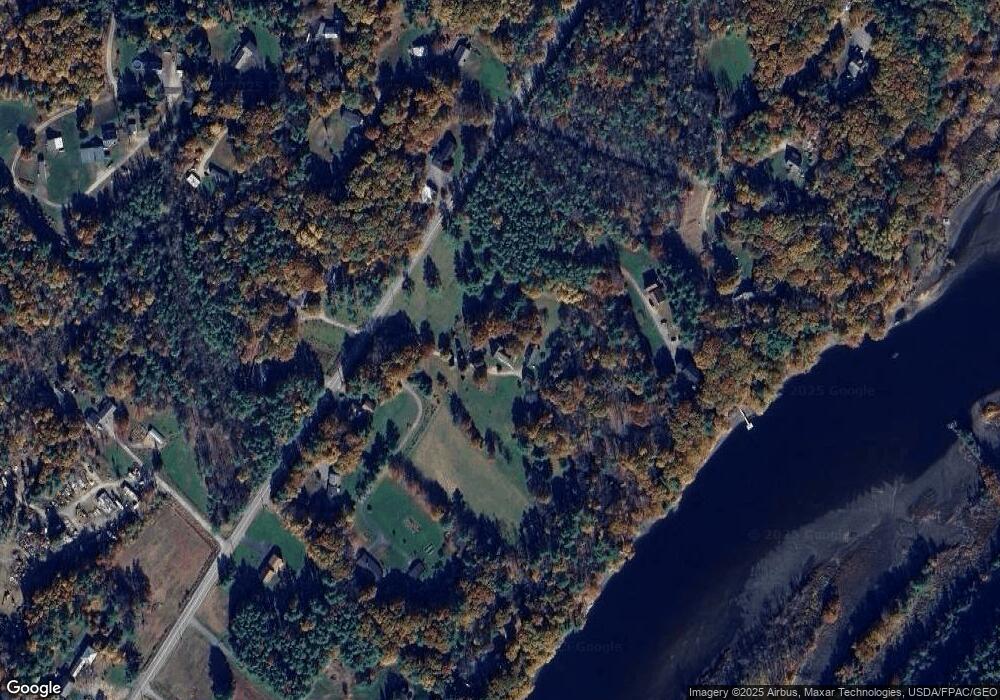
Map
Nearby Homes
- 649 Foreside Rd
- 679 Foreside Rd
- 678 Foreside Rd
- 656 Foreside Rd
- 641 Foreside Rd
- 0 W Bay Bridge Rd
- Lot 2 W Bay Bridge Rd
- 0 W Baybridge Rd
- 648 Foreside Rd
- 15 E Bay Bridge Rd
- 0 Bay Bridge Unit 895492
- 655 Foreside Rd
- Lot 1 W Bay Bridge Rd
- 7 W Bay Bridge Rd
- 631 Foreside Rd
- 633 Foreside Rd
- 17 W Bay Bridge Rd
- 26 E Bay Bridge Rd
- 24 Alden Island Dr
- 628 Foreside Rd
Your Personal Tour Guide
Ask me questions while you tour the home.