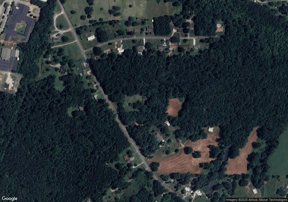
661 Highway 95 Rock Spring, GA 30739
Rock Spring NeighborhoodEstimated Value: $264,000 - $328,000
--
Bed
2
Baths
2,034
Sq Ft
$144/Sq Ft
Est. Value
About This Home
This home is located at 661 Highway 95, Rock Spring, GA 30739 and is currently estimated at $293,427, approximately $144 per square foot. 661 Highway 95 is a home located in Walker County with nearby schools including Rock Spring Elementary School, Lafayette High School, and Alice M Daley Adventist School.
Ownership History
Date
Name
Owned For
Owner Type
Purchase Details
Closed on
Sep 23, 2016
Sold by
Maddux George E
Bought by
Burns Donald Larry and Burns Tamela K
Current Estimated Value
Home Financials for this Owner
Home Financials are based on the most recent Mortgage that was taken out on this home.
Original Mortgage
$74,250
Interest Rate
3.43%
Mortgage Type
New Conventional
Purchase Details
Closed on
Aug 20, 2007
Sold by
Maddux George E
Bought by
Gilbreath John H and Gilbreath Casey Louellen
Purchase Details
Closed on
Aug 16, 2007
Sold by
Maddux George E
Bought by
Maddux George E
Purchase Details
Closed on
Jan 1, 1972
Bought by
Maddux George E
Create a Home Valuation Report for This Property
The Home Valuation Report is an in-depth analysis detailing your home's value as well as a comparison with similar homes in the area
Home Values in the Area
Average Home Value in this Area
Purchase History
| Date | Buyer | Sale Price | Title Company |
|---|---|---|---|
| Burns Donald Larry | $99,000 | -- | |
| Gilbreath John H | $51,918 | -- | |
| Maddux George E | -- | -- | |
| Maddux George E | -- | -- |
Source: Public Records
Mortgage History
| Date | Status | Borrower | Loan Amount |
|---|---|---|---|
| Closed | Burns Donald Larry | $74,250 |
Source: Public Records
Tax History Compared to Growth
Tax History
| Year | Tax Paid | Tax Assessment Tax Assessment Total Assessment is a certain percentage of the fair market value that is determined by local assessors to be the total taxable value of land and additions on the property. | Land | Improvement |
|---|---|---|---|---|
| 2024 | $771 | $92,107 | $17,931 | $74,176 |
| 2023 | $658 | $84,526 | $14,231 | $70,295 |
| 2022 | $415 | $72,546 | $12,600 | $59,946 |
| 2021 | $212 | $60,132 | $12,600 | $47,532 |
| 2020 | $210 | $48,802 | $12,600 | $36,202 |
| 2019 | $411 | $49,016 | $12,600 | $36,416 |
| 2018 | $1,297 | $49,016 | $12,600 | $36,416 |
| 2017 | $513 | $49,016 | $12,600 | $36,416 |
| 2016 | $513 | $50,811 | $21,256 | $29,555 |
| 2015 | $499 | $44,981 | $32,904 | $12,077 |
| 2014 | $397 | $44,981 | $32,904 | $12,077 |
| 2013 | $1,297 | $44,980 | $32,904 | $12,076 |
Source: Public Records
Map
Nearby Homes
- 00 Georgia 95
- 271 Meadowbrook Dr
- 15 Moon Beam Cir
- 0 Bicentennial Trail Unit 10519258
- 0 Bicentennial Trail Unit 7577111
- 10180 Us Highway 27
- 634 Graham Cir
- 1480 Bicentennial Trail
- 989 Kay Conley Rd
- 139 Highway Old 27 Hwy
- The Caldwell Plan at Laurel Ridge
- The Langford Plan at Laurel Ridge
- The Lawson Plan at Laurel Ridge
- The McGinnis Plan at Laurel Ridge
- The Pearson Plan at Laurel Ridge
- The Coleman Plan at Laurel Ridge
- The Piedmont Plan at Laurel Ridge
- The Benson II Plan at Laurel Ridge
- 1909 Old Lafayette Rd
- 59 Honeysuckle Dr
- 661 Highway 95
- 7403 N Highway 27
- 757 Highway 95
- 662 Highway 95
- 827 Highway 95
- 102 Meadow Brook Dr
- 148 Meadow Brook Dr
- 684 Highway 95
- 64 Meadow Brook Dr
- 64 Meadowbrook Dr
- 594 Highway 95
- 28 Meadowbrook Dr
- 28 Meadow Brook Dr
- 814 Highway 95
- 184 Meadow Brook Dr
- 582 Georgia 95
- 582 Highway 95
- 208 Meadow Brook Dr
- 137 Meadow Brook Dr
- 0 Meadowbrook Dr
