661 Highway 95 Rock Spring, GA 30739
Rock Spring NeighborhoodEstimated Value: $215,000 - $380,000
--
Bed
1
Bath
1,192
Sq Ft
$261/Sq Ft
Est. Value
About This Home
This home is located at 661 Highway 95, Rock Spring, GA 30739 and is currently estimated at $310,667, approximately $260 per square foot. 661 Highway 95 is a home located in Walker County with nearby schools including Rock Spring Elementary School, Lafayette High School, and Alice M Daley Adventist School.
Ownership History
Date
Name
Owned For
Owner Type
Purchase Details
Closed on
Jun 30, 2024
Sold by
Burns Family Revocable Living Trust
Bought by
Bent Tree Development Llc
Current Estimated Value
Purchase Details
Closed on
Sep 23, 2016
Sold by
George E
Bought by
Burns Donald Larry and Burns Tamela K
Purchase Details
Closed on
Aug 20, 2007
Sold by
Maddux George E
Bought by
Gilbreath John H and Gilbreath Casey Louellen
Purchase Details
Closed on
Feb 18, 1998
Sold by
Maddux Willis
Bought by
Maddux George E
Purchase Details
Closed on
Jan 1, 1972
Bought by
Maddux Willis
Create a Home Valuation Report for This Property
The Home Valuation Report is an in-depth analysis detailing your home's value as well as a comparison with similar homes in the area
Home Values in the Area
Average Home Value in this Area
Purchase History
| Date | Buyer | Sale Price | Title Company |
|---|---|---|---|
| Bent Tree Development Llc | $478,500 | -- | |
| Burns Donald Larry | $99,000 | -- | |
| Gilbreath John H | $51,918 | -- | |
| Maddux George E | -- | -- | |
| Maddux Willis | -- | -- |
Source: Public Records
Tax History Compared to Growth
Tax History
| Year | Tax Paid | Tax Assessment Tax Assessment Total Assessment is a certain percentage of the fair market value that is determined by local assessors to be the total taxable value of land and additions on the property. | Land | Improvement |
|---|---|---|---|---|
| 2024 | $1,301 | $64,081 | $64,081 | $0 |
| 2023 | $1,054 | $50,857 | $50,857 | $0 |
| 2022 | $1,188 | $51,147 | $51,147 | $0 |
| 2021 | $1,315 | $51,147 | $51,147 | $0 |
| 2020 | $1,365 | $51,147 | $51,147 | $0 |
| 2019 | $1,393 | $51,147 | $51,147 | $0 |
| 2018 | $1,353 | $51,147 | $51,147 | $0 |
| 2017 | $1,227 | $51,147 | $51,147 | $0 |
| 2016 | $1,849 | $70,241 | $55,068 | $15,173 |
| 2015 | $1,941 | $69,539 | $55,216 | $14,323 |
| 2014 | $1,819 | $69,539 | $55,216 | $14,323 |
| 2013 | -- | $69,539 | $55,216 | $14,323 |
Source: Public Records
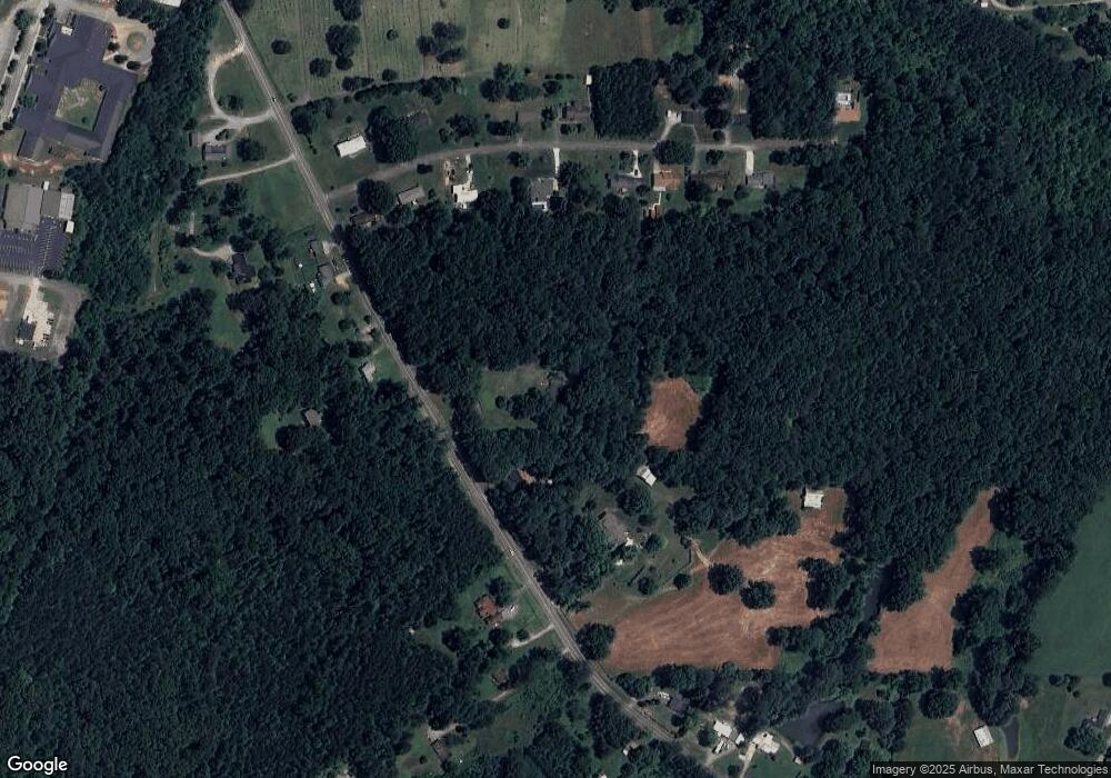
Map
Nearby Homes
- 5602 Georgia 95
- 00 Georgia 95
- 1003 Highway N Old 27
- 10180 Us Highway 27
- 1370 Old Highway 27
- 701 Bicentennial Trail
- 1902 Long Hollow Rd
- 15 Willow Cir
- 23 Willow Cir
- 16 Willow Cir
- 11 Willow Cir
- The Pearson Plan at Laurel Ridge
- The Benson II Plan at Laurel Ridge
- The Langford Plan at Laurel Ridge
- The Lawson Plan at Laurel Ridge
- The Piedmont Plan at Laurel Ridge
- The Coleman Plan at Laurel Ridge
- The McGinnis Plan at Laurel Ridge
- 661 Highway 95
- 7403 N Highway 27
- 757 Highway 95
- 662 Highway 95
- 827 Highway 95
- 102 Meadow Brook Dr
- 148 Meadow Brook Dr
- 684 Highway 95
- 64 Meadow Brook Dr
- 64 Meadowbrook Dr
- 594 Highway 95
- 28 Meadowbrook Dr
- 28 Meadow Brook Dr
- 814 Highway 95
- 184 Meadow Brook Dr
- 582 Georgia 95
- 582 Highway 95
- 208 Meadow Brook Dr
- 137 Meadow Brook Dr
- 0 Meadowbrook Dr