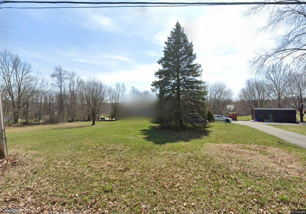
661 Mullock Rd Port Jervis, NY 12771
Greenville Town NeighborhoodEstimated Value: $382,791 - $502,000
3
Beds
2
Baths
1,248
Sq Ft
$351/Sq Ft
Est. Value
About This Home
This home is located at 661 Mullock Rd, Port Jervis, NY 12771 and is currently estimated at $437,698, approximately $350 per square foot. 661 Mullock Rd is a home located in Orange County with nearby schools including Minisink Valley High School.
Ownership History
Date
Name
Owned For
Owner Type
Purchase Details
Closed on
Dec 20, 2021
Sold by
Glowaczewski Gary
Bought by
G & R Farms Llc
Current Estimated Value
Purchase Details
Closed on
Feb 18, 2010
Sold by
Carpino Angelo
Bought by
Zamot Edward Lee
Purchase Details
Closed on
Mar 7, 2002
Sold by
Brucato Elaine M and Hurley Elaine M
Bought by
Carpino Angelo M and Rysinger Michele L
Home Financials for this Owner
Home Financials are based on the most recent Mortgage that was taken out on this home.
Original Mortgage
$168,000
Interest Rate
6.85%
Mortgage Type
Purchase Money Mortgage
Create a Home Valuation Report for This Property
The Home Valuation Report is an in-depth analysis detailing your home's value as well as a comparison with similar homes in the area
Home Values in the Area
Average Home Value in this Area
Purchase History
| Date | Buyer | Sale Price | Title Company |
|---|---|---|---|
| G & R Farms Llc | -- | None Available | |
| Zamot Edward Lee | $245,000 | John E Jr Bach | |
| Carpino Angelo M | $168,000 | Fidelity National Title Ins |
Source: Public Records
Mortgage History
| Date | Status | Borrower | Loan Amount |
|---|---|---|---|
| Previous Owner | Carpino Angelo M | $168,000 |
Source: Public Records
Tax History Compared to Growth
Tax History
| Year | Tax Paid | Tax Assessment Tax Assessment Total Assessment is a certain percentage of the fair market value that is determined by local assessors to be the total taxable value of land and additions on the property. | Land | Improvement |
|---|---|---|---|---|
| 2024 | $6,763 | $137,800 | $38,000 | $99,800 |
| 2023 | $6,763 | $137,800 | $38,000 | $99,800 |
| 2022 | $6,755 | $137,800 | $38,000 | $99,800 |
| 2021 | $6,472 | $133,200 | $38,000 | $95,200 |
| 2020 | $5,939 | $133,200 | $38,000 | $95,200 |
| 2019 | $6,563 | $133,200 | $38,000 | $95,200 |
| 2018 | $6,563 | $133,200 | $38,000 | $95,200 |
| 2017 | $4,972 | $133,200 | $38,000 | $95,200 |
| 2016 | $5,036 | $133,200 | $38,000 | $95,200 |
| 2015 | -- | $133,200 | $38,000 | $95,200 |
| 2014 | -- | $133,200 | $38,000 | $95,200 |
Source: Public Records
Map
Nearby Homes
- 1174 Mountain Rd
- 407 Fort van Tyle Rd
- 469 Eatontown Rd
- 346 Mullock Rd
- 127 Benneywater Rd
- 1410 Us Highway 6
- 2059 Guymard Turnpike
- 1265 Us Highway 6
- 195 Mulford Rd
- 4 Thistle Ln
- 75 Monahan Rd
- 285 Hill Rd
- 23 Gardner Dr
- 0 Gardner Dr Unit KEY879084
- 0 Greenville Turnpike Unit KEY869459
- 0 Greenville Turnpike Unit ONEH6293508
- 0 Greenville Turnpike Unit KEY817585
- 42 Raymond Dr
- 64 Homestead Ln
- 535 County Route 22
- 649 Mullock Rd
- 249 Fort van Tyle Rd
- 662 Mullock Rd
- 677 Mullock Rd
- 641 Mullock Rd
- 257 Fort van Tyle Rd
- 650 Mullock Rd
- 665 Mullock Rd
- 267 Fort van Tyle Rd
- 640 Mullock Rd
- 0 Fort van Tyle Rd Unit 439624
- 0 Fort van Tyle Rd Unit 508417
- 0 Fort van Tyle Rd Unit 508416
- 0 Fort van Tyle Rd Unit 520339
- 0 Fort van Tyle Rd Unit 538342
- 0 Fort van Tyle Rd Unit 4612076
- 0 Fort van Tyle Rd Unit 4725492
- 0 Fort van Tyle Rd Unit H4725492
- 664 Mullock Rd
- 687 Mullock Rd