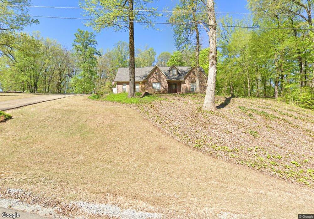
661 Susan Cir Drummonds, TN 38023
Estimated Value: $367,000 - $438,000
Studio
3
Baths
2,947
Sq Ft
$136/Sq Ft
Est. Value
About This Home
This home is located at 661 Susan Cir, Drummonds, TN 38023 and is currently estimated at $399,359, approximately $135 per square foot. 661 Susan Cir is a home located in Tipton County with nearby schools including Drummonds Elementary School, Munford Middle School, and Munford High School.
Ownership History
Date
Name
Owned For
Owner Type
Purchase Details
Closed on
May 24, 2001
Bought by
Stiles Howard Brent and Stiles Eileen Faye
Current Estimated Value
Purchase Details
Closed on
Apr 20, 1998
Sold by
Tommy Boothe
Bought by
Stiles James B
Home Financials for this Owner
Home Financials are based on the most recent Mortgage that was taken out on this home.
Original Mortgage
$138,535
Interest Rate
7.03%
Purchase Details
Closed on
Nov 3, 1997
Sold by
Ballard and Developmen Bomar Developmen
Bought by
Tommy Boothe
Create a Home Valuation Report for This Property
The Home Valuation Report is an in-depth analysis detailing your home's value as well as a comparison with similar homes in the area
Home Values in the Area
Average Home Value in this Area
Purchase History
| Date | Buyer | Sale Price | Title Company |
|---|---|---|---|
| Stiles Howard Brent | $165,000 | -- | |
| Stiles James B | $139,500 | -- | |
| Tommy Boothe | $13,500 | -- |
Source: Public Records
Mortgage History
| Date | Status | Borrower | Loan Amount |
|---|---|---|---|
| Previous Owner | Tommy Boothe | $138,535 |
Source: Public Records
Tax History
| Year | Tax Paid | Tax Assessment Tax Assessment Total Assessment is a certain percentage of the fair market value that is determined by local assessors to be the total taxable value of land and additions on the property. | Land | Improvement |
|---|---|---|---|---|
| 2025 | $1,635 | $107,425 | $9,375 | $98,050 |
| 2024 | $1,635 | $107,425 | $9,375 | $98,050 |
| 2023 | $1,635 | $107,425 | $9,375 | $98,050 |
| 2022 | $1,548 | $75,900 | $6,900 | $69,000 |
| 2021 | $1,548 | $75,900 | $6,900 | $69,000 |
| 2020 | $1,548 | $75,900 | $6,900 | $69,000 |
| 2019 | $1,198 | $49,500 | $5,325 | $44,175 |
| 2018 | $1,198 | $49,500 | $5,325 | $44,175 |
| 2017 | $1,191 | $49,225 | $5,325 | $43,900 |
| 2016 | $1,191 | $49,225 | $5,325 | $43,900 |
| 2015 | $1,190 | $49,225 | $5,325 | $43,900 |
| 2014 | $1,190 | $49,219 | $0 | $0 |
Source: Public Records
Map
Nearby Homes
- 0 Susan's Cir Unit 10212417
- 00 Susan Cir
- 149 Abby Rd
- 182 Hickory Hollow Dr
- 0 Barnett Bluff Rd
- 5787 Richardson Landing Rd
- 225 Poplar Grove Church Rd
- 539 Meadowland Dr
- 218 Cedar Point Rd
- 1323 Quito Drummonds Rd
- 37 N Wyatt Shankle Cove
- 0 Campground Rd
- 8508 Campground Rd
- 511 Rae Dr
- 05 Richardson Landing Rd
- 511 Burkhardt Rd
- 0 Appleberry Rd
- 471 Milton Rd
- 0 Richardson Landing Rd Unit 10207422
- 1245 Drummonds Rd
Your Personal Tour Guide
Ask me questions while you tour the home.