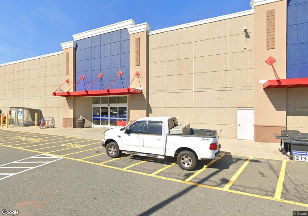
661 Veterans Rd W Staten Island, NY 10309
Charleston NeighborhoodEstimated Value: $15,269,547
--
Bed
--
Bath
159,600
Sq Ft
$96/Sq Ft
Est. Value
About This Home
This home is located at 661 Veterans Rd W, Staten Island, NY 10309 and is currently estimated at $15,269,547, approximately $95 per square foot. 661 Veterans Rd W is a home located in Richmond County with nearby schools including P.S. 56 - The Louis Desario School, Is 34 Tottenville, and Tottenville High School.
Ownership History
Date
Name
Owned For
Owner Type
Purchase Details
Closed on
Jun 11, 2013
Sold by
West Shore Associates 2 Llc
Bought by
Gfb Associates Llc
Current Estimated Value
Purchase Details
Closed on
Mar 18, 2010
Sold by
West Shore Associates Llc
Bought by
West Shore Associates 2 Llc
Purchase Details
Closed on
Jun 25, 2009
Sold by
West Shore Associates Llc
Bought by
West Shore Associates Llc
Create a Home Valuation Report for This Property
The Home Valuation Report is an in-depth analysis detailing your home's value as well as a comparison with similar homes in the area
Home Values in the Area
Average Home Value in this Area
Purchase History
| Date | Buyer | Sale Price | Title Company |
|---|---|---|---|
| Gfb Associates Llc | $8,316,512 | First Amer Title Ins Co Ny | |
| West Shore Associates 2 Llc | -- | First American Title Of Ny | |
| West Shore Associates Llc | -- | The Judicial Title Insurance |
Source: Public Records
Tax History Compared to Growth
Tax History
| Year | Tax Paid | Tax Assessment Tax Assessment Total Assessment is a certain percentage of the fair market value that is determined by local assessors to be the total taxable value of land and additions on the property. | Land | Improvement |
|---|---|---|---|---|
| 2025 | $1,313,925 | $13,015,800 | $6,059,700 | $6,956,100 |
| 2024 | $641,843 | $13,325,850 | $6,059,700 | $7,266,150 |
| 2023 | $76,747 | $12,347,910 | $5,949,450 | $6,398,460 |
| 2022 | $1,252,818 | $11,648,700 | $6,059,700 | $5,589,000 |
| 2021 | $112,604 | $10,404,000 | $6,059,700 | $4,344,300 |
| 2020 | $575,321 | $13,351,050 | $6,059,700 | $7,291,350 |
| 2019 | $537,352 | $13,041,000 | $5,508,450 | $7,532,550 |
| 2018 | $1,293,916 | $13,225,050 | $5,508,450 | $7,716,600 |
| 2017 | $1,289,128 | $12,841,650 | $4,422,150 | $8,419,500 |
| 2016 | $1,294,115 | $12,238,650 | $3,981,600 | $8,257,050 |
| 2015 | $1,191,346 | $11,686,950 | $3,981,600 | $7,705,350 |
| 2014 | $1,191,346 | $11,540,700 | $3,981,600 | $7,559,100 |
Source: Public Records
Map
Nearby Homes
- 71 Lorraine Loop
- 34 Lorraine Loop
- 15 Lorraine Loop
- 857 Bloomingdale Rd
- 16 Wirt Ln
- 852 Bloomingdale Rd
- 102 Lorraine Loop
- 28 Wirt Ln
- 160 Wirt Ave
- 119 Berkshire Ln
- 126 Lorraine Loop
- 816 Bloomingdale Rd
- 270 Candon Ave
- 129 Wirt Ave
- 729 Correll Ave
- 141 Shiel Ave
- 16 Harris Ln
- 18 Harris Ln
- 24 Harris Ln
- 30 Harris Ln
- 2810 Arthur Kill Rd
- 2812 Arthur Kill Rd
- 639 Veterans Rd W
- 2730 Arthur Kill Rd
- 575 Veterans Rd W
- 575-585 Veterans Rd W
- 2777 Arthur Kill Rd
- 2807 Arthur Kill Rd
- 2876 Arthur Kill Rd
- 2704 Arthur Kill Rd
- 206 Westfield Ave
- 47 Lorraine Loop
- 49 Lorraine Loop
- 51 Lorraine Loop
- 45 Lorraine Loop
- 53 Lorraine Loop
- 55 Lorraine Loop
- 43 Lorraine Loop
- 960 Bloomingdale Rd Unit 7
- 960 Bloomingdale Rd