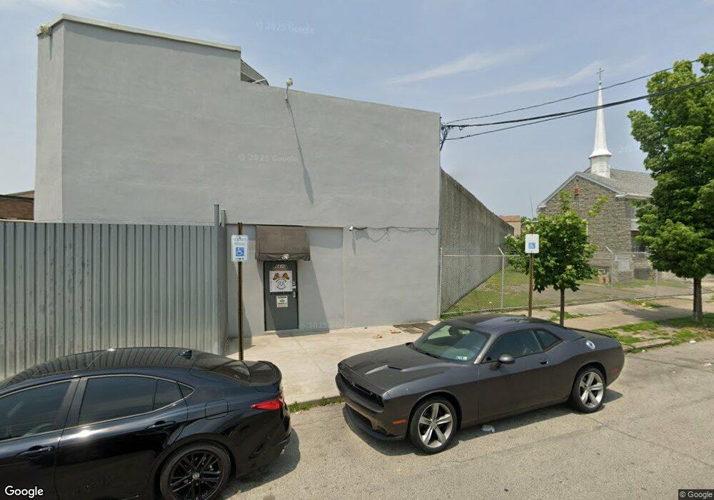
6610 Wyncote Ave Philadelphia, PA 19138
West Oak Lane Neighborhood
--
Bed
--
Bath
4,725
Sq Ft
0.42
Acres
About This Home
This home is located at 6610 Wyncote Ave, Philadelphia, PA 19138. 6610 Wyncote Ave is a home located in Philadelphia County with nearby schools including William Rowen School, Gen. Louis Wagner Middle School, and Martin Luther King High School.
Ownership History
Date
Name
Owned For
Owner Type
Purchase Details
Closed on
Nov 16, 2009
Sold by
Clack Henry and Clack La Verne H
Bought by
Goodman & Ross Trucking Llc
Purchase Details
Closed on
Jun 28, 1995
Sold by
Lee Young Sook
Bought by
Clack Henry and Clack La Verne H
Create a Home Valuation Report for This Property
The Home Valuation Report is an in-depth analysis detailing your home's value as well as a comparison with similar homes in the area
Home Values in the Area
Average Home Value in this Area
Purchase History
| Date | Buyer | Sale Price | Title Company |
|---|---|---|---|
| Goodman & Ross Trucking Llc | $35,000 | None Available | |
| Clack Henry | $30,000 | -- |
Source: Public Records
Tax History Compared to Growth
Tax History
| Year | Tax Paid | Tax Assessment Tax Assessment Total Assessment is a certain percentage of the fair market value that is determined by local assessors to be the total taxable value of land and additions on the property. | Land | Improvement |
|---|---|---|---|---|
| 2025 | $726 | $55,100 | $38,570 | $16,530 |
| 2024 | $726 | $55,100 | $38,570 | $16,530 |
| 2023 | $726 | $51,900 | $15,570 | $36,330 |
| 2022 | $692 | $51,900 | $15,570 | $36,330 |
| 2021 | $692 | $0 | $0 | $0 |
| 2020 | $692 | $0 | $0 | $0 |
| 2019 | $687 | $0 | $0 | $0 |
| 2018 | $676 | $0 | $0 | $0 |
| 2017 | $851 | $0 | $0 | $0 |
| 2016 | $851 | $0 | $0 | $0 |
| 2015 | $815 | $0 | $0 | $0 |
| 2014 | -- | $60,800 | $55,900 | $4,900 |
| 2012 | -- | $10,880 | $10,000 | $880 |
Source: Public Records
Map
Nearby Homes
- 2061 Independence St
- 6731 N Woodstock St
- 6733 N Woodstock St
- 6603 N 21st St
- 2070 E Haines St
- 6824 Rodney St
- 2056 Eastburn Ave
- 2120 66th Ave
- 6558 Limekiln Pike
- 6534 N Lambert St
- 2115 Stenton Ave
- 2105 Stenton Ave
- 6600 N Opal St
- 2125 Stenton Ave
- 6332 E Wister St
- 2022 66th Ave
- 2152 Stenton Ave
- 6531 N Beechwood St
- 1914 W 65th Ave
- 6620 Cornelius St
- 2096 Independence St
- 2084 Independence St
- 2074 Independence St
- 6621 N 21st St
- 6617 N 21st St
- 2078 Independence St
- 6619 N 21st St
- 2076 Independence St
- 2086 Independence St
- 2068 Independence St
- 6615 N 21st St
- 2080 Independence St
- 2072 Independence St
- 2082 Independence St
- 6613 N 21st St
- 2066 Independence St
- 6611 N 21st St
- 6708 Woolston Ave
- 2090 Independence St
- 2088 Independence St