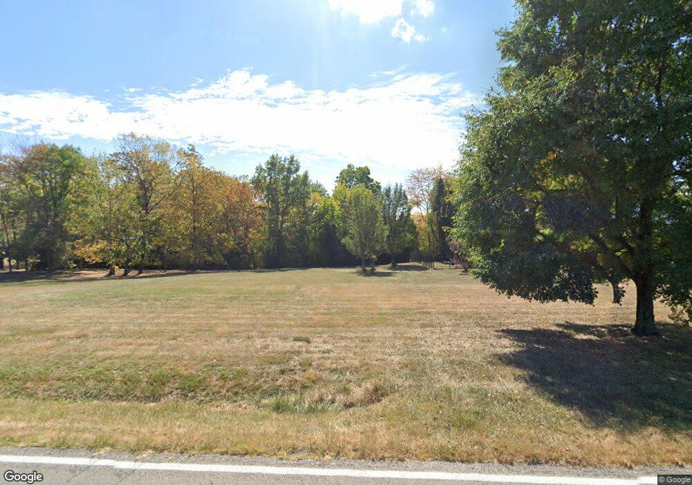
6611 Oregonia Rd Oregonia, OH 45054
Massie Township NeighborhoodEstimated Value: $357,000 - $552,847
3
Beds
3
Baths
2,814
Sq Ft
$165/Sq Ft
Est. Value
About This Home
This home is located at 6611 Oregonia Rd, Oregonia, OH 45054 and is currently estimated at $464,962, approximately $165 per square foot. 6611 Oregonia Rd is a home located in Warren County with nearby schools including Clinton-Massie Elementary School, Clinton-Massie Middle School, and Clinton-Massie High School.
Ownership History
Date
Name
Owned For
Owner Type
Purchase Details
Closed on
Jan 8, 2016
Sold by
Hutton Howard D and The Howard D Hutton Iii Trust
Bought by
Hutton Iii Howard D and Trejo Amy V
Current Estimated Value
Purchase Details
Closed on
Aug 20, 1997
Sold by
Feiss Barbara L
Bought by
Hutton Howard D and Hutton Amy L
Home Financials for this Owner
Home Financials are based on the most recent Mortgage that was taken out on this home.
Original Mortgage
$229,900
Outstanding Balance
$29,152
Interest Rate
5.75%
Mortgage Type
New Conventional
Estimated Equity
$435,810
Purchase Details
Closed on
Aug 24, 1992
Sold by
Amburgy Bob C and Amburgy Mona M.
Bought by
Feiss and Barbara Louise
Create a Home Valuation Report for This Property
The Home Valuation Report is an in-depth analysis detailing your home's value as well as a comparison with similar homes in the area
Home Values in the Area
Average Home Value in this Area
Purchase History
| Date | Buyer | Sale Price | Title Company |
|---|---|---|---|
| Hutton Iii Howard D | -- | Attorney | |
| Hutton Howard D | $242,000 | -- | |
| Feiss | $36,500 | -- |
Source: Public Records
Mortgage History
| Date | Status | Borrower | Loan Amount |
|---|---|---|---|
| Open | Hutton Howard D | $229,900 |
Source: Public Records
Tax History Compared to Growth
Tax History
| Year | Tax Paid | Tax Assessment Tax Assessment Total Assessment is a certain percentage of the fair market value that is determined by local assessors to be the total taxable value of land and additions on the property. | Land | Improvement |
|---|---|---|---|---|
| 2024 | $4,212 | $139,160 | $29,600 | $109,560 |
| 2023 | $3,682 | $116,819 | $17,237 | $99,582 |
| 2022 | $3,590 | $116,820 | $17,238 | $99,582 |
| 2021 | $3,231 | $116,820 | $17,238 | $99,582 |
| 2020 | $3,054 | $94,976 | $14,014 | $80,962 |
| 2019 | $3,111 | $94,976 | $14,014 | $80,962 |
| 2018 | $3,153 | $94,976 | $14,014 | $80,962 |
| 2017 | $2,825 | $83,384 | $12,212 | $71,173 |
| 2016 | $2,847 | $83,384 | $12,212 | $71,173 |
| 2015 | $2,846 | $83,384 | $12,212 | $71,173 |
| 2014 | $2,760 | $78,220 | $11,700 | $66,520 |
| 2013 | $2,837 | $92,710 | $13,140 | $79,570 |
Source: Public Records
Map
Nearby Homes
- 304 High St
- 6037 Oregonia Rd
- 6500 Olive Branch Rd
- 3276 N Waynesville Rd
- 1 Corwin Rd
- 5654 Wilmington Rd
- 6487 Flint Trail
- 8784 Wilmington Rd
- 702 Middleboro Rd
- 732 Settlemyre Rd
- 4270 Middletown Rd
- 9029 Arrowcreek Dr
- 767 Settlemyre Rd
- 0 Wilmington Rd Unit 1856179
- 0 Wilmington Rd Unit 1856534
- 600 Ward Koebel Rd
- 600 Ward-Koebel Rd
- Lot B Blazing Trail
- Lot C Blazing Trail
- 6363 Trillium Dr
- 6689 Oregonia Rd
- 7291 Oregonia Rd
- A Oregonia Rd
- B Oregonia Rd
- C Oregonia Rd
- D Oregonia Rd
- 2 Oregonia Rd
- 3 Oregonia Rd
- 6730 Oregonia Rd
- 6563 Oregonia Rd
- 6803 Oregonia Rd
- 6525 Oregonia Rd
- 1946 Murray Rd
- 1922 Murray Rd
- 1935 Murray Rd
- 1830 Murray Rd
- 6446 Oregonia Rd
- 1824 Murray Rd
- 6415 Oregonia Rd
- 6888 Oregonia Rd
