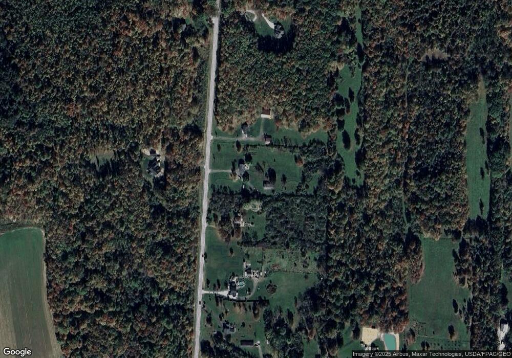
6615 Clay St Thompson, OH 44086
Estimated Value: $352,000 - $399,000
3
Beds
3
Baths
2,128
Sq Ft
$173/Sq Ft
Est. Value
About This Home
This home is located at 6615 Clay St, Thompson, OH 44086 and is currently estimated at $368,233, approximately $173 per square foot. 6615 Clay St is a home located in Geauga County.
Ownership History
Date
Name
Owned For
Owner Type
Purchase Details
Closed on
Aug 9, 2019
Sold by
Lingenfelter Robert W and Lingenfelter Carol L
Bought by
Lingenfelter Robert W and Lingenfelter Carol L
Current Estimated Value
Home Financials for this Owner
Home Financials are based on the most recent Mortgage that was taken out on this home.
Original Mortgage
$133,900
Outstanding Balance
$117,272
Interest Rate
3.7%
Mortgage Type
New Conventional
Estimated Equity
$250,961
Purchase Details
Closed on
Jul 13, 2004
Sold by
Jones Jean and Jones Herbert A
Bought by
Lingenfelter Robert W
Home Financials for this Owner
Home Financials are based on the most recent Mortgage that was taken out on this home.
Original Mortgage
$160,000
Interest Rate
5.75%
Mortgage Type
Purchase Money Mortgage
Purchase Details
Closed on
Dec 12, 2001
Sold by
Conway Neil J
Bought by
Jones Jean B
Create a Home Valuation Report for This Property
The Home Valuation Report is an in-depth analysis detailing your home's value as well as a comparison with similar homes in the area
Home Values in the Area
Average Home Value in this Area
Purchase History
| Date | Buyer | Sale Price | Title Company |
|---|---|---|---|
| Lingenfelter Robert W | -- | Title Source Inc | |
| Lingenfelter Robert W | $200,000 | Conway Land Title Company | |
| Jones Jean B | -- | Conway Land Title Company | |
| Conway Neil J | -- | Conway Land Title Company |
Source: Public Records
Mortgage History
| Date | Status | Borrower | Loan Amount |
|---|---|---|---|
| Open | Lingenfelter Robert W | $133,900 | |
| Closed | Lingenfelter Robert W | $160,000 |
Source: Public Records
Tax History Compared to Growth
Tax History
| Year | Tax Paid | Tax Assessment Tax Assessment Total Assessment is a certain percentage of the fair market value that is determined by local assessors to be the total taxable value of land and additions on the property. | Land | Improvement |
|---|---|---|---|---|
| 2024 | $4,235 | $103,920 | $18,380 | $85,540 |
| 2023 | $4,235 | $103,920 | $18,380 | $85,540 |
| 2022 | $3,420 | $77,670 | $14,420 | $63,250 |
| 2021 | $3,417 | $77,670 | $14,420 | $63,250 |
| 2020 | $3,490 | $77,670 | $14,420 | $63,250 |
| 2019 | $3,006 | $69,410 | $14,420 | $54,990 |
| 2018 | $3,260 | $69,410 | $14,420 | $54,990 |
| 2017 | $3,006 | $69,410 | $14,420 | $54,990 |
| 2016 | $2,771 | $65,700 | $9,590 | $56,110 |
| 2015 | $2,651 | $65,700 | $9,590 | $56,110 |
| 2014 | $2,651 | $65,700 | $9,590 | $56,110 |
| 2013 | $2,695 | $65,700 | $9,590 | $56,110 |
Source: Public Records
Map
Nearby Homes
- 6916 Dewey Rd
- 16107 Moseley Rd
- 6696 Madison Rd
- TBD Brockway Rd
- TBD Brockway Rd
- 6042 Ford Rd
- 5810 Dewey Rd
- 0 Balch Rd Unit 5097587
- 16940 Thompson Rd
- 15744 Rock Creek Rd
- VL 15 Acres Madison Rd
- 5040 River Rd
- 8150 Madison Rd
- 5004 River Rd
- 5232 Emerson Rd
- 16500 Burrows Rd
- 4571 River Rd
- 4255 River Rd
- 18000 Thompson Rd
- 5210 Blair Rd
- 6639 Clay St
- 6585 Clay St
- 6671 Clay St
- 6505 Clay St
- 6683 Clay St
- 15770 Thompson Rd
- 6512 Clay St
- 15806 Thompson Rd
- 15749 Thompson Rd
- 6500 Clay St
- 15692 Thompson Rd
- 6495 Clay St
- 6484 Clay St
- 15666 Thompson Rd
- 15815 Thompson Rd
- 6465 Clay St
- 6476 Clay St
- 6777 Clay St
- 15880 Thompson Rd
- 0 Clay St Unit 3989155
