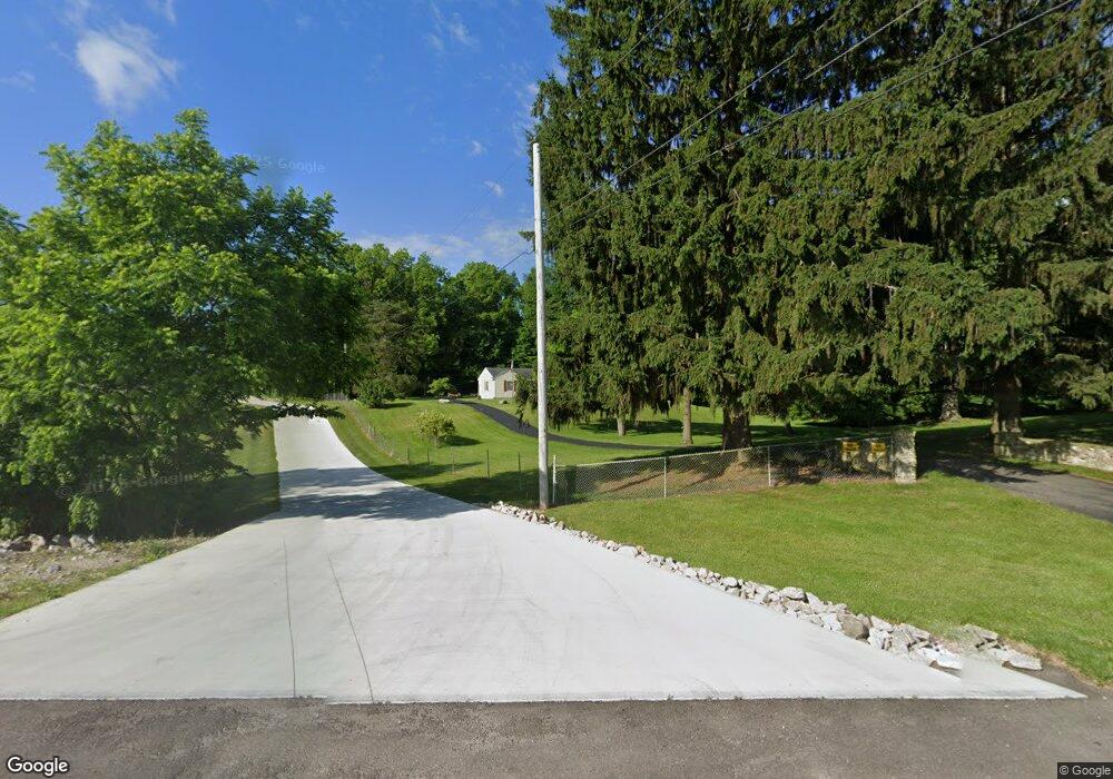
6616 E State Route 571 Tipp City, OH 45371
Estimated Value: $235,489 - $297,000
2
Beds
1
Bath
1,300
Sq Ft
$208/Sq Ft
Est. Value
About This Home
This home is located at 6616 E State Route 571, Tipp City, OH 45371 and is currently estimated at $270,372, approximately $207 per square foot. 6616 E State Route 571 is a home located in Miami County with nearby schools including Bethel Elementary School, Bethel Middle School, and Bethel High School.
Ownership History
Date
Name
Owned For
Owner Type
Purchase Details
Closed on
Aug 31, 2000
Sold by
Laux Sandra Sue
Bought by
Laux Mark P
Current Estimated Value
Purchase Details
Closed on
Mar 24, 1992
Bought by
Laux Mark P
Create a Home Valuation Report for This Property
The Home Valuation Report is an in-depth analysis detailing your home's value as well as a comparison with similar homes in the area
Home Values in the Area
Average Home Value in this Area
Purchase History
| Date | Buyer | Sale Price | Title Company |
|---|---|---|---|
| Laux Mark P | -- | -- | |
| Laux Mark P | $101,500 | -- |
Source: Public Records
Tax History Compared to Growth
Tax History
| Year | Tax Paid | Tax Assessment Tax Assessment Total Assessment is a certain percentage of the fair market value that is determined by local assessors to be the total taxable value of land and additions on the property. | Land | Improvement |
|---|---|---|---|---|
| 2024 | $2,416 | $60,340 | $20,230 | $40,110 |
| 2023 | $2,416 | $60,340 | $20,230 | $40,110 |
| 2022 | $2,439 | $60,340 | $20,230 | $40,110 |
| 2021 | $2,111 | $50,300 | $16,870 | $33,430 |
| 2020 | $2,098 | $50,300 | $16,870 | $33,430 |
| 2019 | $2,122 | $50,300 | $16,870 | $33,430 |
| 2018 | $2,100 | $47,250 | $13,230 | $34,020 |
| 2017 | $2,103 | $47,250 | $13,230 | $34,020 |
| 2016 | $1,894 | $47,250 | $13,230 | $34,020 |
| 2015 | $1,868 | $45,440 | $12,710 | $32,730 |
| 2014 | $1,868 | $45,440 | $12,710 | $32,730 |
| 2013 | $1,585 | $45,440 | $12,710 | $32,730 |
Source: Public Records
Map
Nearby Homes
- 0 Ohio 201
- 7817 Ohio 201
- 7032 Honeylocust St
- 7715 E New Carlisle Rd
- 7540 Agenbroad Rd
- 5315 E State Route 571
- 6345 Ohio 202
- 0 Ohio 202 Unit 23014095
- 0 Ohio 202 Unit 23014098
- 7337 Ross Rd
- 605 Fenview Dr
- 907 White Pine St
- 930 Firwood Dr
- 129 Solar Dr
- 6782 Us Route 40
- 8540 Mann Rd
- 4320 Ginghamsburg West Charleston Rd
- 1101 Cambridge Ct Unit 1103
- 6780 E Walnut St
- 210 Zimmerman St
- 6574 E State Route 571
- 6613 E State Route 571
- 6622 E State Route 571
- 6558 E State Route 571
- 6677 E State Route 571
- 6526 E State Route 571
- 6526 St Rt 571 E
- 6526 Ohio 571
- 6695 E State Route 571
- 6714 E State Route 571
- 6707 E State Route 571
- 6705 E State Route 571
- 6753 E State Route 571
- 6750 E State Route 571
- 6776 E State Route 571
- 6777 E State Route 571
- 6435 E State Route 571
- 6635 Studebaker Rd
- 6885 Ohio 571
- 6885 E State Route 571