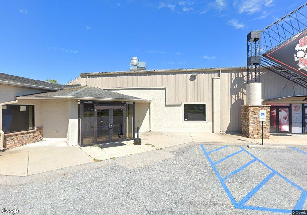
6616 Ruppsville Rd Allentown, PA 18106
Upper Macungie Township NeighborhoodEstimated Value: $2,031,688
--
Bed
--
Bath
21,985
Sq Ft
$92/Sq Ft
Est. Value
About This Home
This home is located at 6616 Ruppsville Rd, Allentown, PA 18106 and is currently estimated at $2,031,688, approximately $92 per square foot. 6616 Ruppsville Rd is a home located in Lehigh County with nearby schools including Fogelsville Elementary School, Springhouse Middle School, and Parkland High School.
Ownership History
Date
Name
Owned For
Owner Type
Purchase Details
Closed on
Jun 22, 2022
Sold by
Castle Holdings Inc
Bought by
Lv Industrial Holdings Llc
Current Estimated Value
Purchase Details
Closed on
Oct 20, 2005
Sold by
Eisenberg David A
Bought by
Castle Holdings Inc
Home Financials for this Owner
Home Financials are based on the most recent Mortgage that was taken out on this home.
Original Mortgage
$1,100,000
Interest Rate
5.72%
Mortgage Type
Commercial
Create a Home Valuation Report for This Property
The Home Valuation Report is an in-depth analysis detailing your home's value as well as a comparison with similar homes in the area
Home Values in the Area
Average Home Value in this Area
Purchase History
| Date | Buyer | Sale Price | Title Company |
|---|---|---|---|
| Lv Industrial Holdings Llc | $1,700,000 | None Listed On Document | |
| Castle Holdings Inc | $1,100,000 | None Available |
Source: Public Records
Mortgage History
| Date | Status | Borrower | Loan Amount |
|---|---|---|---|
| Previous Owner | Castle Holdings Inc | $1,100,000 |
Source: Public Records
Tax History Compared to Growth
Tax History
| Year | Tax Paid | Tax Assessment Tax Assessment Total Assessment is a certain percentage of the fair market value that is determined by local assessors to be the total taxable value of land and additions on the property. | Land | Improvement |
|---|---|---|---|---|
| 2025 | $41,135 | $1,900,900 | $279,800 | $1,621,100 |
| 2024 | $39,577 | $1,900,900 | $279,800 | $1,621,100 |
| 2023 | $38,626 | $1,900,900 | $279,800 | $1,621,100 |
| 2022 | $42,803 | $2,115,800 | $1,836,000 | $279,800 |
| 2021 | $42,803 | $2,115,800 | $279,800 | $1,836,000 |
| 2020 | $42,803 | $2,115,800 | $279,800 | $1,836,000 |
| 2019 | $41,893 | $2,115,800 | $279,800 | $1,836,000 |
| 2018 | $41,068 | $2,115,800 | $279,800 | $1,836,000 |
| 2017 | $40,475 | $2,115,800 | $279,800 | $1,836,000 |
| 2016 | -- | $2,115,800 | $279,800 | $1,836,000 |
| 2015 | -- | $2,115,800 | $279,800 | $1,836,000 |
| 2014 | -- | $2,115,800 | $279,800 | $1,836,000 |
Source: Public Records
Map
Nearby Homes
- 6342 Chapmans Rd
- 818 Rebecca Ln
- 515 Ponds Edge Ln
- 6401 Fir Rd
- 318 Tupelo Ct
- 5920 Michaels Crossing
- 357 Barn Swallow Ln
- 2021 Hickory Ln
- 172 Wyndham Dr
- 366 Indigo Way
- 1325 Wynewood Rd
- 441 Sawgrass Dr
- 6718 Overlook Ct
- 5926 Holiday Dr
- 1724 Park Ln
- 6659 Forest Knoll Ct
- 1087 Meadowlark Dr
- Charleston Plan at Wrenfield
- Regent Plan at Wrenfield
- 7296 Lochhaven St
- 6616 Ruppsville Rd Unit 2
- 6616 Ruppsville Rd Unit 1
- 6616 Ruppsville Rd Unit Rest. Opt
- 6614 Ruppsville Rd
- 6614 Ruppsville Rd Unit 2nd Floor
- 6614 Ruppsville Rd Unit 2nd Floor
- 6614 Ruppsville Rd Unit conference rm 2nd fl
- 6520 1st Ave
- 6524 1st Ave
- 6518 1st Ave
- 6526 1st Ave
- 6516 1st Ave
- 6514 1st Ave
- 6528 1st Ave
- 6530 1st Ave
- 6521 1st Ave
- 6519 1st Ave
- 6526 Memorial Rd
- 6512 1st Ave