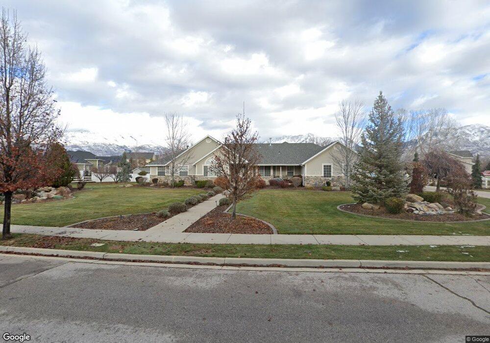
6616 W 10760 N Highland, UT 84003
Estimated Value: $1,266,000 - $1,442,000
6
Beds
5
Baths
3,430
Sq Ft
$397/Sq Ft
Est. Value
About This Home
This home is located at 6616 W 10760 N, Highland, UT 84003 and is currently estimated at $1,362,080, approximately $397 per square foot. 6616 W 10760 N is a home located in Utah County with nearby schools including Highland Elementary School, Mountain Ridge Junior High School, and Lone Peak High School.
Ownership History
Date
Name
Owned For
Owner Type
Purchase Details
Closed on
Sep 23, 1998
Sold by
Steven Holdings Equity Assets
Bought by
Ostler Kurt and Ostler Valayne
Current Estimated Value
Home Financials for this Owner
Home Financials are based on the most recent Mortgage that was taken out on this home.
Original Mortgage
$375,000
Interest Rate
6.88%
Purchase Details
Closed on
Feb 17, 1998
Sold by
Ostler Kurt Edward and Ostler Valayne L
Bought by
Kvsj Investment Co Ltd
Purchase Details
Closed on
Jan 23, 1998
Sold by
Kvsj Investment Co Ltd
Bought by
Stevens Holdings and David Stallworth Trust
Purchase Details
Closed on
Jun 21, 1997
Sold by
Ostler Kurt and Ostler Valayne
Bought by
Kvsj Investment Co Ltd
Create a Home Valuation Report for This Property
The Home Valuation Report is an in-depth analysis detailing your home's value as well as a comparison with similar homes in the area
Home Values in the Area
Average Home Value in this Area
Purchase History
| Date | Buyer | Sale Price | Title Company |
|---|---|---|---|
| Ostler Kurt | -- | -- | |
| Kvsj Investment Co Ltd | -- | -- | |
| Stevens Holdings | -- | -- | |
| Kvsj Investment Co Ltd | -- | -- | |
| Ostler Valayne L | -- | -- |
Source: Public Records
Mortgage History
| Date | Status | Borrower | Loan Amount |
|---|---|---|---|
| Closed | Ostler Kurt | $375,000 |
Source: Public Records
Tax History Compared to Growth
Tax History
| Year | Tax Paid | Tax Assessment Tax Assessment Total Assessment is a certain percentage of the fair market value that is determined by local assessors to be the total taxable value of land and additions on the property. | Land | Improvement |
|---|---|---|---|---|
| 2025 | $4,355 | $622,930 | $389,600 | $743,000 |
| 2024 | $4,355 | $537,955 | $0 | $0 |
| 2023 | $3,888 | $518,100 | $0 | $0 |
| 2022 | $3,597 | $464,750 | $0 | $0 |
| 2021 | $3,627 | $697,900 | $271,900 | $426,000 |
| 2020 | $3,444 | $650,000 | $236,400 | $413,600 |
| 2019 | $3,223 | $636,300 | $236,400 | $399,900 |
| 2018 | $3,339 | $626,500 | $226,600 | $399,900 |
| 2017 | $2,883 | $288,750 | $0 | $0 |
| 2016 | $3,200 | $299,475 | $0 | $0 |
| 2015 | $3,369 | $298,925 | $0 | $0 |
| 2014 | $3,765 | $331,045 | $0 | $0 |
Source: Public Records
Map
Nearby Homes
- 1610 E Center Pointe Dr
- 1602 E Center Pointe Dr
- 1602 E Center Pointe Dr Unit 1
- 6271 W 10830 St N
- 6373 W 10500 N
- 10434 N 6400 W
- 6372 W 10400 N
- 6602 W Normandy Way
- 10818 N 6000 W
- 6399 W 10150 N
- 11248 Hawkstone Way Unit 109
- 6024 Hawkstone Way Unit 108
- 11228 Hawkstone Way Unit 110
- 11124 N 6000 W
- 975 E 2850 N
- 11572 N Maple Hollow Ct
- 11578 N Broadleaf Hollow Ln
- 9967 N 6670 W
- 6190 W 10050 N
- 6447 W Sunrise Dr
- 6605 W 10900 N
- 6566 W 10760 N
- 6646 W 10770 N
- 6645 W 10770 N
- 6595 W 10900 N
- 6645 W Kaitlyn Ln
- 6645 W Kaitlyn Cir
- 6645 W 10760 N
- 6609 W 10760 N
- 6626 W Stevens Ln
- 6589 W 10760 N
- 6546 W 10760 N
- 6585 W 10900 N
- 6608 W Stevens Ln
- 6658 W 10770 N
- 6657 W 10770 N
- 6657 W Kaitlyn Cir
- 6565 W 10760 N
- 6526 W 10760 N
- 6575 W Steven's Ln