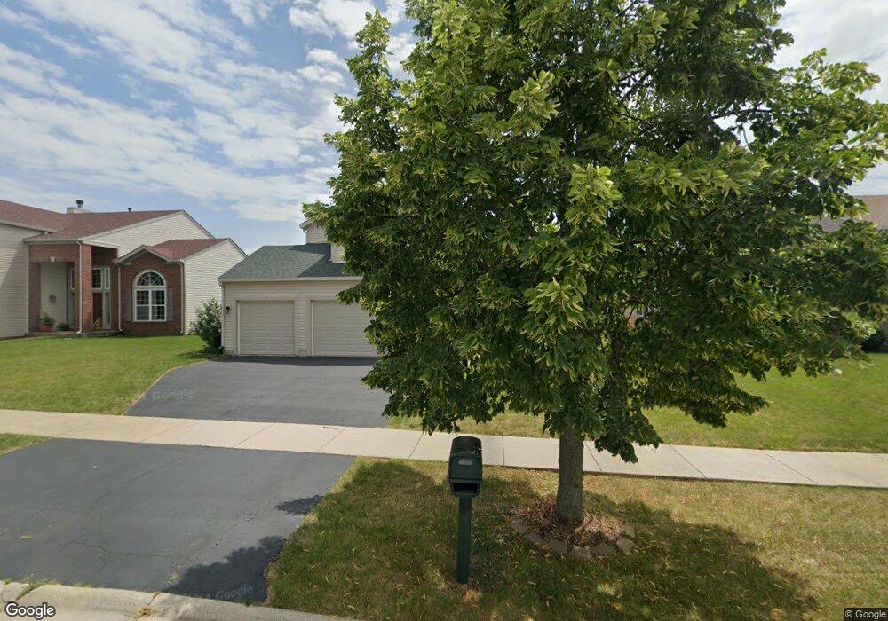
6617 Bridle Path Dr Matteson, IL 60443
West Matteson NeighborhoodEstimated Value: $344,000 - $390,000
4
Beds
3
Baths
2,478
Sq Ft
$151/Sq Ft
Est. Value
About This Home
This home is located at 6617 Bridle Path Dr, Matteson, IL 60443 and is currently estimated at $374,624, approximately $151 per square foot. 6617 Bridle Path Dr is a home located in Cook County with nearby schools including Colin Powell Middle School.
Ownership History
Date
Name
Owned For
Owner Type
Purchase Details
Closed on
Apr 27, 2007
Sold by
Montalbano Builders Inc
Bought by
Flaws Anna Marie
Current Estimated Value
Home Financials for this Owner
Home Financials are based on the most recent Mortgage that was taken out on this home.
Original Mortgage
$268,383
Outstanding Balance
$161,914
Interest Rate
6.2%
Mortgage Type
Unknown
Estimated Equity
$212,710
Create a Home Valuation Report for This Property
The Home Valuation Report is an in-depth analysis detailing your home's value as well as a comparison with similar homes in the area
Home Values in the Area
Average Home Value in this Area
Purchase History
| Date | Buyer | Sale Price | Title Company |
|---|---|---|---|
| Flaws Anna Marie | $298,500 | Cti |
Source: Public Records
Mortgage History
| Date | Status | Borrower | Loan Amount |
|---|---|---|---|
| Open | Flaws Anna Marie | $268,383 |
Source: Public Records
Tax History Compared to Growth
Tax History
| Year | Tax Paid | Tax Assessment Tax Assessment Total Assessment is a certain percentage of the fair market value that is determined by local assessors to be the total taxable value of land and additions on the property. | Land | Improvement |
|---|---|---|---|---|
| 2024 | $12,719 | $30,992 | $12,053 | $18,939 |
| 2023 | $9,308 | $34,000 | $12,053 | $21,947 |
| 2022 | $9,308 | $20,805 | $3,781 | $17,024 |
| 2021 | $9,444 | $20,805 | $3,781 | $17,024 |
| 2020 | $9,245 | $20,805 | $3,781 | $17,024 |
| 2019 | $8,917 | $19,750 | $3,544 | $16,206 |
| 2018 | $8,784 | $19,750 | $3,544 | $16,206 |
| 2017 | $9,631 | $21,772 | $3,544 | $18,228 |
| 2016 | $7,383 | $16,764 | $3,308 | $13,456 |
| 2015 | $8,546 | $19,442 | $3,308 | $16,134 |
| 2014 | $8,341 | $19,442 | $3,308 | $16,134 |
| 2013 | $8,611 | $21,348 | $3,308 | $18,040 |
Source: Public Records
Map
Nearby Homes
- 6608 Pasture Side Trail
- 6529 Blue Sky Ln
- 6520 Bridle Path Dr
- 6700 Old Plank Blvd
- 6423 Gray Hawk Dr Unit 2716
- 6508 Fawn Ct
- 6409 Old Plank Blvd
- 21143 Gray Hawk Dr Unit 2554
- 237 Blackthorn Rd
- 0 Ridgeland Ave
- 126 Knollwood Cir
- 241 Blackthorn Rd
- 123 Knollwood Cir
- 66 Candlegate Cir
- 62 Brushwood Dr
- 278 Blackthorn Rd
- 300 Briarbranch Terrace
- 317 Pleasant Terrace
- 21218 Shannon Ave
- 51 Brushwood Dr
- 6613 Bridle Path Dr
- 6621 Bridle Path Dr
- 6616 Pasture Side Trail
- 6620 Pasture Side Trail
- 6612 Pasture Side Trail
- 6609 Bridle Path Dr
- 6701 Bridle Path Dr
- 6620 Bridle Path Dr
- 6700 Pasture Side Trail
- 6624 Bridle Path Dr
- 6616 Bridle Path Dr
- 6605 Bridle Path Dr
- 6705 Bridle Path Dr
- 6700 Bridle Path Dr
- 6704 Pasture Side Trail
- 6704 Bridle Path Dr
- 21201 Bridle Path Dr
- 21220 White Cloud Dr
- 6613 Pasture Side Trail
- 6617 Pasture Side Trail