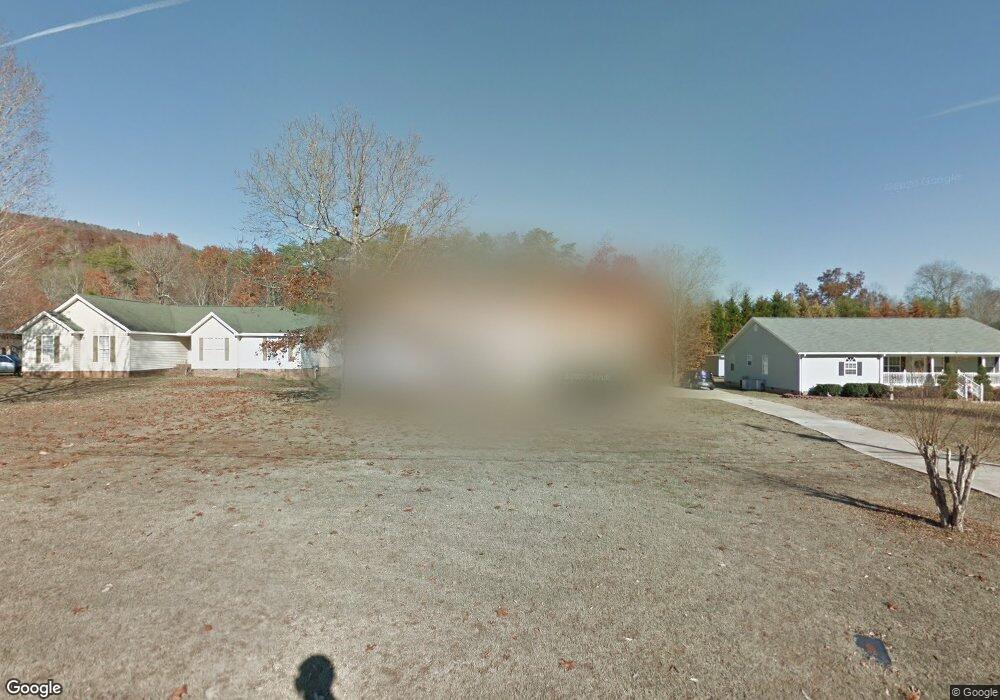
6617 Levi Rd Hixson, TN 37343
Falling Water NeighborhoodEstimated Value: $319,715 - $384,000
3
Beds
2
Baths
1,500
Sq Ft
$235/Sq Ft
Est. Value
About This Home
This home is located at 6617 Levi Rd, Hixson, TN 37343 and is currently estimated at $352,679, approximately $235 per square foot. 6617 Levi Rd is a home located in Hamilton County with nearby schools including Ganns Middle Valley Elementary School, Red Bank Middle School, and Red Bank High School.
Ownership History
Date
Name
Owned For
Owner Type
Purchase Details
Closed on
Feb 5, 1998
Sold by
Mcknight Gene A and Mcknight Rebecca J
Bought by
Hunt A Donald and Hunt Alma L
Current Estimated Value
Home Financials for this Owner
Home Financials are based on the most recent Mortgage that was taken out on this home.
Original Mortgage
$89,162
Outstanding Balance
$15,798
Interest Rate
7.01%
Mortgage Type
FHA
Estimated Equity
$336,881
Purchase Details
Closed on
Mar 7, 1996
Sold by
Clark and Barbara
Bought by
Mcknight Gene A
Create a Home Valuation Report for This Property
The Home Valuation Report is an in-depth analysis detailing your home's value as well as a comparison with similar homes in the area
Home Values in the Area
Average Home Value in this Area
Purchase History
| Date | Buyer | Sale Price | Title Company |
|---|---|---|---|
| Hunt A Donald | $99,900 | Legal Title & Escrow Inc | |
| Mcknight Gene A | $13,400 | -- |
Source: Public Records
Mortgage History
| Date | Status | Borrower | Loan Amount |
|---|---|---|---|
| Open | Hunt A Donald | $89,162 |
Source: Public Records
Tax History Compared to Growth
Tax History
| Year | Tax Paid | Tax Assessment Tax Assessment Total Assessment is a certain percentage of the fair market value that is determined by local assessors to be the total taxable value of land and additions on the property. | Land | Improvement |
|---|---|---|---|---|
| 2024 | $1,159 | $51,825 | $0 | $0 |
| 2023 | $1,168 | $51,825 | $0 | $0 |
| 2022 | $1,168 | $51,825 | $0 | $0 |
| 2021 | $1,168 | $51,825 | $0 | $0 |
| 2020 | $1,134 | $40,675 | $0 | $0 |
| 2019 | $1,134 | $40,675 | $0 | $0 |
| 2018 | $1,134 | $40,675 | $0 | $0 |
| 2017 | $1,134 | $40,675 | $0 | $0 |
| 2016 | $1,106 | $0 | $0 | $0 |
| 2015 | $1,106 | $39,675 | $0 | $0 |
| 2014 | $1,106 | $0 | $0 | $0 |
Source: Public Records
Map
Nearby Homes
- 598 Blue Canyon Ln
- 805 Pickett Gulf Rd
- 5940 Sunset Canyon Dr
- 733 Ray Ln
- 595 Deer Valley Dr
- 792 Sawmill Trail
- 311 Roberts Mill Rd
- 1000 Sawyer Cemetery Rd
- 6016&6014 Browntown Rd
- 0 Rocky Ledge Rd Unit 1514267
- 855 Split Rock Trail
- 0 Dayton Blvd Unit RTC2802699
- 0 Dayton Blvd Unit 1508885
- 101 La Porte Dr
- 7258 Grey Hawk Trail
- 5977 Crestview Dr
- 7231 Grey Hawk Trail
- 8545 Mountain Laurel Trail Unit 40
- 8545 Mountain Laurel Trail
- 7917 Mountain Laurel Trail Unit 85
- 6621 Levi Rd
- 6613 Levi Rd
- 630 Pitts Rd
- 6623 Levi Rd
- 6609 Levi Rd
- 6627 Levi Rd
- 6616 Levi Rd
- 6612 Levi Rd
- 6603 Levi Rd
- 6541 Levi Rd
- 6631 Levi Rd
- 6608 Levi Rd
- 783 Deer Valley Dr
- 783 Deer Valley Dr Unit 111
- 795 Deer Valley Dr
- 6600 Levi Rd
- 6509 Ferry Rd
- 771 Deer Valley Dr Unit 112
- 771 Deer Valley Dr
- 807 Deer Valley Dr