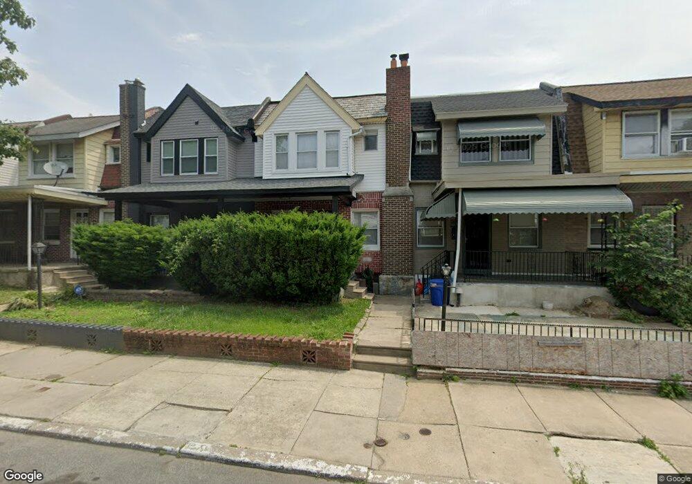
6617 N Opal St Philadelphia, PA 19138
West Oak Lane NeighborhoodEstimated Value: $193,786 - $258,000
3
Beds
1
Bath
1,152
Sq Ft
$188/Sq Ft
Est. Value
About This Home
This home is located at 6617 N Opal St, Philadelphia, PA 19138 and is currently estimated at $216,947, approximately $188 per square foot. 6617 N Opal St is a home located in Philadelphia County with nearby schools including William Rowen School, Gen. Louis Wagner Middle School, and Martin Luther King High School.
Ownership History
Date
Name
Owned For
Owner Type
Purchase Details
Closed on
Oct 16, 2006
Sold by
Mungin Isabel A
Bought by
Mungin Gary
Current Estimated Value
Create a Home Valuation Report for This Property
The Home Valuation Report is an in-depth analysis detailing your home's value as well as a comparison with similar homes in the area
Home Values in the Area
Average Home Value in this Area
Purchase History
| Date | Buyer | Sale Price | Title Company |
|---|---|---|---|
| Mungin Gary | -- | None Available |
Source: Public Records
Tax History Compared to Growth
Tax History
| Year | Tax Paid | Tax Assessment Tax Assessment Total Assessment is a certain percentage of the fair market value that is determined by local assessors to be the total taxable value of land and additions on the property. | Land | Improvement |
|---|---|---|---|---|
| 2025 | $2,013 | $171,700 | $34,340 | $137,360 |
| 2024 | $2,013 | $171,700 | $34,340 | $137,360 |
| 2023 | $2,013 | $143,800 | $28,760 | $115,040 |
| 2022 | $1,383 | $98,800 | $28,760 | $70,040 |
| 2021 | $1,552 | $0 | $0 | $0 |
| 2020 | $1,552 | $0 | $0 | $0 |
| 2019 | $1,621 | $0 | $0 | $0 |
| 2018 | $1,418 | $0 | $0 | $0 |
| 2017 | $1,418 | $0 | $0 | $0 |
| 2016 | $998 | $0 | $0 | $0 |
| 2015 | $890 | $0 | $0 | $0 |
| 2014 | -- | $96,400 | $8,688 | $87,712 |
| 2012 | -- | $10,848 | $2,167 | $8,681 |
Source: Public Records
Map
Nearby Homes
- 6600 N Opal St
- 2022 66th Ave
- 6558 Limekiln Pike
- 6534 N Lambert St
- 6603 N 21st St
- 2061 Independence St
- 6731 N Woodstock St
- 6733 N Woodstock St
- 6518 Ogontz Ave
- 1914 W 65th Ave
- 6436 N 20th St
- 2056 Eastburn Ave
- 6603 Ogontz Ave
- 6625 Ogontz Ave
- 2105 Stenton Ave
- 2120 66th Ave
- 2115 Stenton Ave
- 1917 Colonial St
- 6419 Limekiln Pike
- 6436 Ogontz Ave