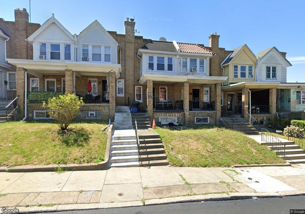
6618 Lansdowne Ave Philadelphia, PA 19151
Overbrook NeighborhoodEstimated Value: $166,000 - $187,000
3
Beds
1
Bath
1,106
Sq Ft
$160/Sq Ft
Est. Value
About This Home
This home is located at 6618 Lansdowne Ave, Philadelphia, PA 19151 and is currently estimated at $176,452, approximately $159 per square foot. 6618 Lansdowne Ave is a home located in Philadelphia County with nearby schools including Overbrook High School, Harambee Institute of Science and Techno, and West Philadelphia Achievement Charter Elementary School.
Ownership History
Date
Name
Owned For
Owner Type
Purchase Details
Closed on
Jul 1, 2023
Sold by
Bagner Keith
Bought by
Gaddy Gwendolyn L
Current Estimated Value
Purchase Details
Closed on
Apr 14, 2021
Sold by
Bagner Keith and Estate Of Alfred Bullock Jr
Bought by
Bagner Keith
Purchase Details
Closed on
Jun 10, 1997
Sold by
Lombard M Andree and Lombard Andree M
Bought by
Bullock Alfred
Purchase Details
Closed on
Jan 10, 1996
Sold by
Pizzo Joseph and Pizzo Doris
Bought by
Lombard M Andree and Lombard Andree M
Create a Home Valuation Report for This Property
The Home Valuation Report is an in-depth analysis detailing your home's value as well as a comparison with similar homes in the area
Home Values in the Area
Average Home Value in this Area
Purchase History
| Date | Buyer | Sale Price | Title Company |
|---|---|---|---|
| Gaddy Gwendolyn L | -- | None Listed On Document | |
| Bagner Keith | -- | Suburban Abstract Agency Inc | |
| Bullock Alfred | $57,000 | -- | |
| Lombard M Andree | $55,000 | -- |
Source: Public Records
Tax History Compared to Growth
Tax History
| Year | Tax Paid | Tax Assessment Tax Assessment Total Assessment is a certain percentage of the fair market value that is determined by local assessors to be the total taxable value of land and additions on the property. | Land | Improvement |
|---|---|---|---|---|
| 2025 | $2,031 | $168,600 | $33,720 | $134,880 |
| 2024 | $2,031 | $168,600 | $33,720 | $134,880 |
| 2023 | $2,031 | $145,100 | $29,020 | $116,080 |
| 2022 | $1,534 | $145,100 | $29,020 | $116,080 |
| 2021 | $1,534 | $0 | $0 | $0 |
| 2020 | $1,534 | $0 | $0 | $0 |
| 2019 | $1,477 | $0 | $0 | $0 |
| 2018 | $778 | $0 | $0 | $0 |
| 2017 | $1,198 | $0 | $0 | $0 |
| 2016 | $778 | $0 | $0 | $0 |
| 2015 | -- | $0 | $0 | $0 |
| 2014 | -- | $85,600 | $7,831 | $77,769 |
| 2012 | -- | $9,568 | $1,685 | $7,883 |
Source: Public Records
Map
Nearby Homes
- 717 N 67th St
- 706 Edgemore Rd
- 635 N 67th St
- 715 Edgemore Rd
- 621 N 67th St
- 722 N 66th St
- 6647 Haverford Ave
- 703 N 66th St
- 6639 Leeds St
- 657 N 66th St
- 6015 Haverford Ave
- 653 Atwood Rd
- 6452 Lansdowne Ave
- 425 N 67th St
- 924 N 66th St
- 6500 Haverford Ave
- 446 N Daggett St
- 6528 Lebanon Ave
- 947 N 66th St
- 716 N 64th St
- 6620 Lansdowne Ave
- 6616 Lansdowne Ave
- 6622 Lansdowne Ave
- 6614 Lansdowne Ave
- 6612 Lansdowne Ave
- 729 Edgemore Rd
- 6610 Lansdowne Ave
- 6608 Lansdowne Ave
- 727 Edgemore Rd
- 6606 Lansdowne Ave Unit 3
- 6606 Lansdowne Ave Unit 2
- 725 Edgemore Rd
- 6624 Lansdowne Ave
- 6604 Lansdowne Ave Unit 3
- 6604 Lansdowne Ave Unit 2
- 723 Edgemore Rd
- 6626 Lansdowne Ave
- 728 N 66th St
- 6602 Lansdowne Ave
- 6602 Lansdowne Ave Unit 1