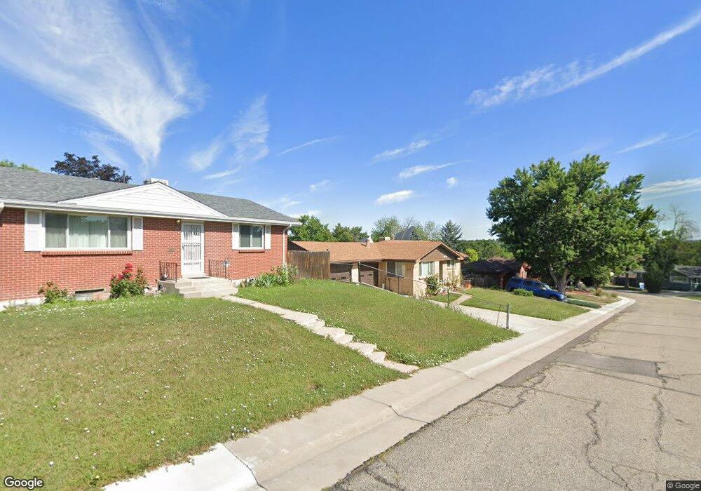
6619 Depew Ct Arvada, CO 80003
Lamar Heights NeighborhoodEstimated Value: $500,313 - $551,000
4
Beds
3
Baths
1,091
Sq Ft
$482/Sq Ft
Est. Value
About This Home
This home is located at 6619 Depew Ct, Arvada, CO 80003 and is currently estimated at $526,078, approximately $482 per square foot. 6619 Depew Ct is a home located in Jefferson County with nearby schools including Swanson Elementary School, North Arvada Middle School, and Arvada High School.
Ownership History
Date
Name
Owned For
Owner Type
Purchase Details
Closed on
Jun 18, 2008
Sold by
Groth Wayne Emil and Groth Valerie Ann
Bought by
Groth Valerie Ann
Current Estimated Value
Purchase Details
Closed on
Nov 18, 1997
Sold by
Brunner Joseph F Living Trust and Li Brunner Mildred M
Bought by
Groth Wayne E and Groth Valerie A
Home Financials for this Owner
Home Financials are based on the most recent Mortgage that was taken out on this home.
Original Mortgage
$100,000
Outstanding Balance
$16,339
Interest Rate
7.23%
Estimated Equity
$509,739
Create a Home Valuation Report for This Property
The Home Valuation Report is an in-depth analysis detailing your home's value as well as a comparison with similar homes in the area
Home Values in the Area
Average Home Value in this Area
Purchase History
| Date | Buyer | Sale Price | Title Company |
|---|---|---|---|
| Groth Valerie Ann | -- | None Available | |
| Groth Wayne E | $125,000 | Land Title |
Source: Public Records
Mortgage History
| Date | Status | Borrower | Loan Amount |
|---|---|---|---|
| Open | Groth Wayne E | $100,000 |
Source: Public Records
Tax History
| Year | Tax Paid | Tax Assessment Tax Assessment Total Assessment is a certain percentage of the fair market value that is determined by local assessors to be the total taxable value of land and additions on the property. | Land | Improvement |
|---|---|---|---|---|
| 2024 | $3,146 | $32,432 | $14,412 | $18,020 |
| 2023 | $3,146 | $32,432 | $14,412 | $18,020 |
| 2022 | $2,671 | $27,271 | $12,391 | $14,880 |
| 2021 | $2,715 | $28,056 | $12,748 | $15,308 |
| 2020 | $2,478 | $25,680 | $8,364 | $17,316 |
| 2019 | $2,445 | $25,680 | $8,364 | $17,316 |
| 2018 | $2,134 | $21,797 | $5,649 | $16,148 |
| 2017 | $1,954 | $21,797 | $5,649 | $16,148 |
| 2016 | $1,803 | $18,946 | $5,645 | $13,301 |
| 2015 | $1,529 | $18,946 | $5,645 | $13,301 |
| 2014 | $1,529 | $15,101 | $4,872 | $10,229 |
Source: Public Records
Map
Nearby Homes
- 6610 Depew Ct
- 6650 Depew Ct
- 5687 W 65th Ave
- 6503 Gray St
- 5320 W 67th Ave
- 6767 Ames St
- 6761 Harlan St
- 6462 Harlan St
- 6404 Benton St
- 5244 W 68th Ave Unit 5244
- 6177 W 65th Ave
- 6353 Depew St
- 5135 W 68th Ave Unit 1
- 6172 W 68th Ave
- 6739 Zenobia Loop Unit 3
- 5555 W 69th Ave
- 5670 W 71st Ave
- 5720 W 71st Ave
- 6548 Xavier St
- 6222 W 70th Ave
Your Personal Tour Guide
Ask me questions while you tour the home.