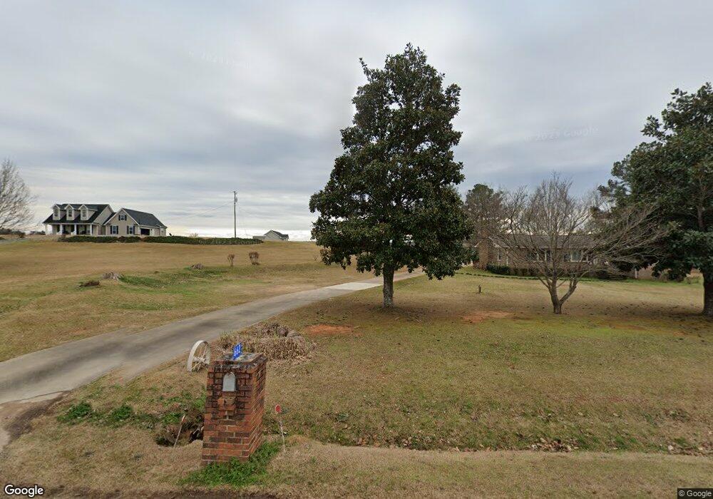
662 Allen Rd Culloden, GA 31016
Estimated Value: $169,376 - $220,000
2
Beds
1
Bath
1,611
Sq Ft
$118/Sq Ft
Est. Value
About This Home
This home is located at 662 Allen Rd, Culloden, GA 31016 and is currently estimated at $189,844, approximately $117 per square foot. 662 Allen Rd is a home located in Upson County with nearby schools including Upson-Lee South Elementary School, Upson-Lee North Elementary School, and Upson-Lee Middle School.
Ownership History
Date
Name
Owned For
Owner Type
Purchase Details
Closed on
Apr 25, 2025
Sold by
Jordan Beverly Sherrell
Bought by
Jordan Alexis D and Jordan Beverly Sherrell
Current Estimated Value
Purchase Details
Closed on
Sep 21, 2016
Sold by
Beverly Sherrel
Bought by
Jordan Beverly Sherrel and Howard Bernice W
Purchase Details
Closed on
Sep 15, 2016
Sold by
Beverly Sherrel
Bought by
Jordan Beverly Sherrel and Howard Bernice W
Purchase Details
Closed on
Jul 7, 2006
Sold by
Not Provided
Bought by
Jordan B Sherrell
Purchase Details
Closed on
Dec 2, 2004
Sold by
Wonnum T J
Bought by
Wilder Curtis
Create a Home Valuation Report for This Property
The Home Valuation Report is an in-depth analysis detailing your home's value as well as a comparison with similar homes in the area
Purchase History
| Date | Buyer | Sale Price | Title Company |
|---|---|---|---|
| Jordan Alexis D | -- | -- | |
| Jordan Beverly Sherrel | -- | -- | |
| Jordan Beverly Sherrel | -- | -- | |
| Jordan B Sherrell | -- | -- | |
| Wilder Curtis | -- | -- |
Source: Public Records
Tax History
| Year | Tax Paid | Tax Assessment Tax Assessment Total Assessment is a certain percentage of the fair market value that is determined by local assessors to be the total taxable value of land and additions on the property. | Land | Improvement |
|---|---|---|---|---|
| 2025 | $1,484 | $57,650 | $4,948 | $52,702 |
| 2024 | $1,484 | $55,535 | $4,123 | $51,412 |
| 2023 | $1,360 | $52,469 | $4,123 | $48,346 |
| 2022 | $821 | $29,610 | $3,361 | $26,249 |
| 2021 | $680 | $25,802 | $3,360 | $22,442 |
| 2020 | $684 | $24,257 | $2,734 | $21,523 |
| 2019 | $551 | $17,980 | $2,734 | $15,246 |
| 2018 | $551 | $17,980 | $2,734 | $15,246 |
| 2017 | $580 | $17,241 | $2,734 | $14,507 |
| 2016 | $565 | $16,529 | $2,470 | $14,059 |
| 2015 | $565 | $16,530 | $2,470 | $14,059 |
| 2014 | $575 | $16,781 | $2,722 | $14,059 |
Source: Public Records
Map
Nearby Homes
- 1638 Old Minor Rd
- 0 Minor Rd Unit 10712241
- LOT 7.5 U S Highway 19
- LOT 8 U S Highway 19
- 0 Chatfield Rd Unit Track A, B & PB2/53
- Logtown Rd
- 9245 U S 80
- 8 8 Point Rd
- 0 Logtown Rd Unit 10700247
- 0 Charlie Reeves Rd Unit 21882758
- 3595 Logtown Rd
- 0 Whitaker Rd Unit 260341
- 0 Whitaker Rd Unit 182756
- 0 Whitaker Rd Unit 10673006
- 0 E Old Wire Rd Unit 26650321
- 0 E Old Wire Rd Unit 26631646
- 0 E Old Wire Rd Unit 18
- 0 E Old Wire Rd Unit 12
- 60 Booker Montgomery Rd
- 0 Jordan Bottoms Rd Unit 25927233
Your Personal Tour Guide
Ask me questions while you tour the home.