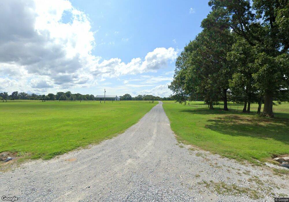
662 Barbeque Rd Humboldt, TN 38343
Estimated Value: $373,000 - $638,784
--
Bed
--
Bath
2,016
Sq Ft
$260/Sq Ft
Est. Value
About This Home
This home is located at 662 Barbeque Rd, Humboldt, TN 38343 and is currently estimated at $523,595, approximately $259 per square foot. 662 Barbeque Rd is a home located in Crockett County with nearby schools including Crockett County High School.
Ownership History
Date
Name
Owned For
Owner Type
Purchase Details
Closed on
Feb 22, 2024
Sold by
Cherry Charles S
Bought by
Andrews Lauren C and Andrews Issac
Current Estimated Value
Purchase Details
Closed on
Feb 28, 2022
Sold by
Jimmy Allen Blankenship Living Trust
Bought by
Cherry Charles S
Purchase Details
Closed on
Nov 11, 2006
Sold by
Cook John H
Bought by
Blankenship Jim A
Create a Home Valuation Report for This Property
The Home Valuation Report is an in-depth analysis detailing your home's value as well as a comparison with similar homes in the area
Home Values in the Area
Average Home Value in this Area
Purchase History
| Date | Buyer | Sale Price | Title Company |
|---|---|---|---|
| Andrews Lauren C | $10,000 | None Listed On Document | |
| Andrews Lauren C | $10,000 | None Listed On Document | |
| Cherry Charles S | -- | Holmes Rich And Sigler Pc | |
| Blankenship Jim A | $250,000 | -- |
Source: Public Records
Tax History Compared to Growth
Tax History
| Year | Tax Paid | Tax Assessment Tax Assessment Total Assessment is a certain percentage of the fair market value that is determined by local assessors to be the total taxable value of land and additions on the property. | Land | Improvement |
|---|---|---|---|---|
| 2025 | $972 | $54,650 | $0 | $0 |
| 2024 | $972 | $42,800 | $25,275 | $17,525 |
| 2023 | $972 | $42,800 | $25,275 | $17,525 |
| 2022 | $972 | $42,800 | $25,275 | $17,525 |
| 2021 | $1,206 | $45,700 | $19,375 | $26,325 |
| 2020 | $1,182 | $45,700 | $19,375 | $26,325 |
| 2019 | $1,206 | $45,700 | $19,375 | $26,325 |
| 2018 | $1,206 | $45,700 | $19,375 | $26,325 |
| 2017 | $1,206 | $45,700 | $19,375 | $26,325 |
| 2016 | $1,206 | $45,700 | $19,375 | $26,325 |
| 2015 | $1,117 | $45,700 | $19,375 | $26,325 |
| 2014 | $1,117 | $42,294 | $0 | $0 |
Source: Public Records
Map
Nearby Homes
- 21679 U S 79
- 120 Westwood Cove
- 24 Walter Helms Rd
- 127 Franklin St
- 133 Mason St
- 00 Lot#1 Humboldt Lake Rd
- 00 Lot#4 Humboldt Lake Rd
- 0 Clarence Norfleet Rd
- 23 Forked Oak Ln
- 00 Highway 45 W
- 0 W Main St
- 844 Leanne Dr
- 106 S 13th Ave
- 341 Kelly Dr
- 720 Teri Leigh Cove
- 112 S 17th Ave
- 762 Alecia Page Cove
- 580 Westside Dr
- 214 Vine St
- 2812 Pritchard Ln
- 0 Barbeque Rd
- 795 Barbeque Rd
- 480 Barbeque Rd
- 986 Barbeque Rd
- 1134 Barbeque Rd
- 1511 Mason Grove Rd
- 87 Barbeque Rd
- 2110 Gadsden Todd Levee Rd
- 2213 Gadsden Todd Levee Rd
- 1997 Gadsden Todd Levee Rd
- 142 Mason Cemetery Rd
- 2325 Gadsden Todd Levee Rd
- 2443 Gadsden-Todd Levee Rd
- 2517 Mason Grove Rd
- 2659 Gadsden-Todd Levee Rd
- 2445 Mason Grove Rd
- 2209 Mason Grove Rd
- 00 Byrd Rd
- 1557 Gadsden-Todd Levee Rd
- 553 Byrd Rd
