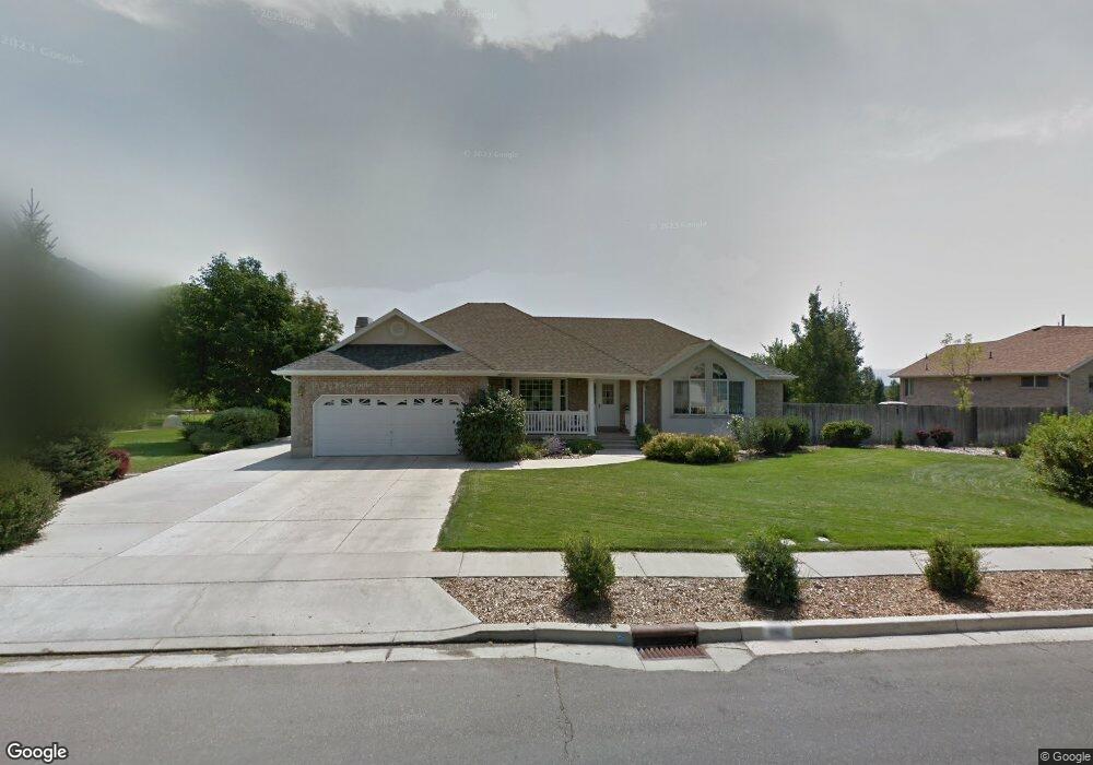
662 Canterbury Ln Alpine, UT 84004
Estimated Value: $926,702 - $1,067,000
5
Beds
3
Baths
3,574
Sq Ft
$274/Sq Ft
Est. Value
About This Home
This home is located at 662 Canterbury Ln, Alpine, UT 84004 and is currently estimated at $980,567, approximately $274 per square foot. 662 Canterbury Ln is a home located in Utah County with nearby schools including Alpine School, Timberline Middle School, and Lone Peak High School.
Ownership History
Date
Name
Owned For
Owner Type
Purchase Details
Closed on
Apr 8, 2024
Sold by
Evans Family Trust and Evans Joan H
Bought by
Stronk Parker Alan and Stronk Cheryl Stott
Current Estimated Value
Home Financials for this Owner
Home Financials are based on the most recent Mortgage that was taken out on this home.
Original Mortgage
$570,000
Outstanding Balance
$561,516
Interest Rate
6.9%
Mortgage Type
New Conventional
Estimated Equity
$419,051
Purchase Details
Closed on
Nov 12, 2008
Sold by
Evans Hugh L and Evans Joan H
Bought by
Evans Hugh L and Evans Joan H
Create a Home Valuation Report for This Property
The Home Valuation Report is an in-depth analysis detailing your home's value as well as a comparison with similar homes in the area
Home Values in the Area
Average Home Value in this Area
Purchase History
| Date | Buyer | Sale Price | Title Company |
|---|---|---|---|
| Stronk Parker Alan | -- | Title One | |
| Evans Hugh L | -- | None Available |
Source: Public Records
Mortgage History
| Date | Status | Borrower | Loan Amount |
|---|---|---|---|
| Open | Stronk Parker Alan | $570,000 |
Source: Public Records
Tax History
| Year | Tax Paid | Tax Assessment Tax Assessment Total Assessment is a certain percentage of the fair market value that is determined by local assessors to be the total taxable value of land and additions on the property. | Land | Improvement |
|---|---|---|---|---|
| 2025 | $4,065 | $508,860 | -- | -- |
| 2024 | $4,065 | $473,770 | $0 | $0 |
| 2023 | $3,601 | $450,615 | $0 | $0 |
| 2022 | $3,536 | $429,715 | $0 | $0 |
| 2021 | $3,145 | $593,700 | $367,000 | $226,700 |
| 2020 | $2,931 | $541,400 | $319,100 | $222,300 |
| 2019 | $2,657 | $512,400 | $319,100 | $193,300 |
| 2018 | $2,522 | $480,500 | $287,200 | $193,300 |
| 2017 | $2,383 | $241,670 | $0 | $0 |
| 2016 | $2,393 | $226,270 | $0 | $0 |
| 2015 | $2,418 | $216,205 | $0 | $0 |
| 2014 | $2,221 | $196,460 | $0 | $0 |
Source: Public Records
Map
Nearby Homes
- 475 Grove Dr
- 887 E Village Way
- 358 Eastview Dr
- 202 E Alpine Dr
- 1063 E Alpine Dr
- 48 N 100 E
- 986 N Sunbrook Cir
- 381 E Watkins Cir Unit 28
- 30 S Main St
- 463 Heritage Hills Dr
- 151 Glacier Lily Dr
- 382 E Heritage Hills Dr
- 76 N Bald Mountain Dr
- 196 Holly Dr
- 19 E Elk Ct
- 250 S Main St Unit 25
- 250 S Main St Unit 20
- 250 S Main St Unit 9
- 250 S Main St Unit 7
- 1319 N Eastview Ln Unit 214
- 638 Canterbury Ln
- 688 Canterbury Ln
- 361 N 675 E
- 653 Canterbury Ln
- 712 Canterbury Ln
- 612 Canterbury Ln
- 452 Coventry Ln
- 358 N 675 E
- 360 Bristol Ct
- 347 N 675 E
- 452 N Coventry Ln
- 736 Canterbury Ln
- 458 Bristol Ct
- 471 N Coventry Ln
- 471 Coventry Ln
- 478 Coventry Ln
- 627 E 300 N
- 342 N 675 E
- 478 N Coventry Ln
- 325 N 675 E
Your Personal Tour Guide
Ask me questions while you tour the home.