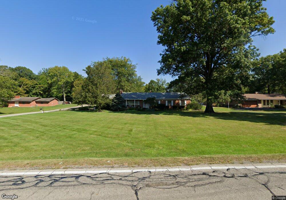
662 Dempsey Rd Westerville, OH 43081
Estimated Value: $418,000 - $554,000
3
Beds
3
Baths
2,072
Sq Ft
$246/Sq Ft
Est. Value
About This Home
This home is located at 662 Dempsey Rd, Westerville, OH 43081 and is currently estimated at $509,303, approximately $245 per square foot. 662 Dempsey Rd is a home located in Franklin County with nearby schools including Mcvay Elementary School, Walnut Springs Middle School, and Westerville-North High School.
Ownership History
Date
Name
Owned For
Owner Type
Purchase Details
Closed on
May 13, 2005
Sold by
Reeves Roy F and Reeves Priscilla L
Bought by
Moore John L and Moore Marlene A
Current Estimated Value
Home Financials for this Owner
Home Financials are based on the most recent Mortgage that was taken out on this home.
Original Mortgage
$245,000
Outstanding Balance
$130,116
Interest Rate
6.13%
Mortgage Type
Fannie Mae Freddie Mac
Estimated Equity
$379,187
Purchase Details
Closed on
May 23, 2002
Sold by
Gordon Michael J and Gordon Jeanne P
Bought by
Reeves Roy F and Reeves Priscilla L
Purchase Details
Closed on
Apr 12, 1994
Bought by
Gordon Michael J
Create a Home Valuation Report for This Property
The Home Valuation Report is an in-depth analysis detailing your home's value as well as a comparison with similar homes in the area
Home Values in the Area
Average Home Value in this Area
Purchase History
| Date | Buyer | Sale Price | Title Company |
|---|---|---|---|
| Moore John L | $295,000 | -- | |
| Reeves Roy F | $274,900 | Chicago Title West | |
| Gordon Michael J | $167,900 | -- |
Source: Public Records
Mortgage History
| Date | Status | Borrower | Loan Amount |
|---|---|---|---|
| Open | Moore John L | $245,000 |
Source: Public Records
Tax History Compared to Growth
Tax History
| Year | Tax Paid | Tax Assessment Tax Assessment Total Assessment is a certain percentage of the fair market value that is determined by local assessors to be the total taxable value of land and additions on the property. | Land | Improvement |
|---|---|---|---|---|
| 2024 | $7,645 | $144,100 | $44,450 | $99,650 |
| 2023 | $7,518 | $144,095 | $44,450 | $99,645 |
| 2022 | $9,261 | $135,590 | $53,340 | $82,250 |
| 2021 | $9,339 | $135,590 | $53,340 | $82,250 |
| 2020 | $9,312 | $135,590 | $53,340 | $82,250 |
| 2019 | $8,067 | $112,460 | $44,450 | $68,010 |
| 2018 | $7,364 | $112,460 | $44,450 | $68,010 |
| 2017 | $7,488 | $112,460 | $44,450 | $68,010 |
| 2016 | $7,040 | $92,690 | $28,180 | $64,510 |
| 2015 | $6,819 | $92,690 | $28,180 | $64,510 |
| 2014 | $6,824 | $92,690 | $28,180 | $64,510 |
| 2013 | $3,227 | $88,235 | $26,810 | $61,425 |
Source: Public Records
Map
Nearby Homes
- 806 Watten Ln
- 6506 Purplefinch Ct
- 4432 Scissortail Loop
- 6360 Thrasher Loop
- 6352 Hibiscus Ct
- 640 Brook Run Dr
- 5888 Montevideo Rd
- 1015 Swanton Ct
- 1019 Swanton Ct
- 5769 Montevideo Rd
- 800 S Spring Rd
- 5769 Burntwood Way
- 6874 Flatlands Rd
- 737 Autumn Branch Rd
- 6006 Carnation Dr
- 4765 Smoketalk Ln Unit 1
- 750 Autumn Branch Rd
- 994 Autumn Lake Ct
- 4758 Crazy Horse Ln Unit 2
- 4755 Crazy Horse Ln Unit 6
- 674 Dempsey Rd
- 646 Dempsey Rd
- 688 Dempsey Rd
- 1250 Winfree Dr
- 634 Dempsey Rd
- 1210 Murmac Ln
- 1255 Winfree Dr
- 684 Winsholen Ct
- 1258 Winfree Dr
- 678 Winsholen Ct
- 690 Winsholen Ct
- 4635 Wilkens Ct
- 622 Dempsey Rd
- 1266 Winfree Dr
- 632 Wilkens Ct
- 702 Dempsey Rd
- 1215 Murmac Ln
- 696 Winsholen Ct
- 681 Winsholen Ct
- 1274 Winfree Dr