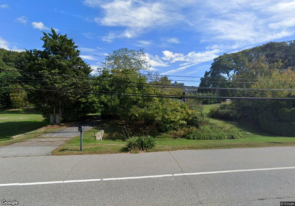
662 Groton Long Point Rd Groton, CT 06340
Noank NeighborhoodEstimated Value: $429,000 - $492,000
4
Beds
1
Bath
1,436
Sq Ft
$319/Sq Ft
Est. Value
About This Home
This home is located at 662 Groton Long Point Rd, Groton, CT 06340 and is currently estimated at $457,625, approximately $318 per square foot. 662 Groton Long Point Rd is a home located in New London County with nearby schools including Groton Middle School and Robert E. Fitch High School.
Ownership History
Date
Name
Owned For
Owner Type
Purchase Details
Closed on
Jun 3, 2019
Sold by
Hall Robert C
Bought by
Hall Ellen D
Current Estimated Value
Purchase Details
Closed on
May 24, 1995
Sold by
Lewis Diane and Sanford Marilyn
Bought by
Hall Robert C and Hall Ellen D
Home Financials for this Owner
Home Financials are based on the most recent Mortgage that was taken out on this home.
Original Mortgage
$58,500
Interest Rate
7.5%
Mortgage Type
Unknown
Create a Home Valuation Report for This Property
The Home Valuation Report is an in-depth analysis detailing your home's value as well as a comparison with similar homes in the area
Home Values in the Area
Average Home Value in this Area
Purchase History
| Date | Buyer | Sale Price | Title Company |
|---|---|---|---|
| Hall Ellen D | -- | -- | |
| Hall Robert C | $114,500 | -- |
Source: Public Records
Mortgage History
| Date | Status | Borrower | Loan Amount |
|---|---|---|---|
| Previous Owner | Hall Robert C | $58,500 |
Source: Public Records
Tax History Compared to Growth
Tax History
| Year | Tax Paid | Tax Assessment Tax Assessment Total Assessment is a certain percentage of the fair market value that is determined by local assessors to be the total taxable value of land and additions on the property. | Land | Improvement |
|---|---|---|---|---|
| 2025 | $4,903 | $185,850 | $113,869 | $71,981 |
| 2024 | $4,577 | $185,850 | $113,869 | $71,981 |
| 2023 | $4,388 | $185,850 | $83,020 | $102,830 |
| 2022 | $4,299 | $185,850 | $83,020 | $102,830 |
| 2021 | $3,539 | $127,960 | $61,530 | $66,430 |
| 2020 | $3,449 | $127,960 | $61,530 | $66,430 |
| 2019 | $3,292 | $127,960 | $61,530 | $66,430 |
| 2018 | $3,271 | $127,960 | $61,530 | $66,430 |
| 2017 | $3,214 | $127,960 | $61,530 | $66,430 |
| 2016 | $3,399 | $146,370 | $81,130 | $65,240 |
| 2015 | $3,270 | $146,370 | $81,130 | $65,240 |
| 2014 | $3,186 | $146,370 | $81,130 | $65,240 |
Source: Public Records
Map
Nearby Homes
- 670 Groton Long Point Rd
- 656 Groton Long Point Rd
- 221 Prospect Hill Rd
- 205 Prospect Hill Rd
- 678 Groton Long Point Rd
- 665 Groton Long Point Rd
- 225 Prospect Hill Rd
- 195 Prospect Hill Rd
- 686 Groton Long Point Rd
- 657 Groton Long Point Rd
- 644 Groton Long Point Rd
- 139 Brook St
- 659 Groton Long Point Rd
- 204 Prospect Hill Rd
- 239 Prospect Hill Rd
- 651 Groton Long Point Rd
- 216 Prospect Hill Rd
- 645 Groton Long Point Rd
- 196 Prospect Hill Rd
- 181 Prospect Hill Rd