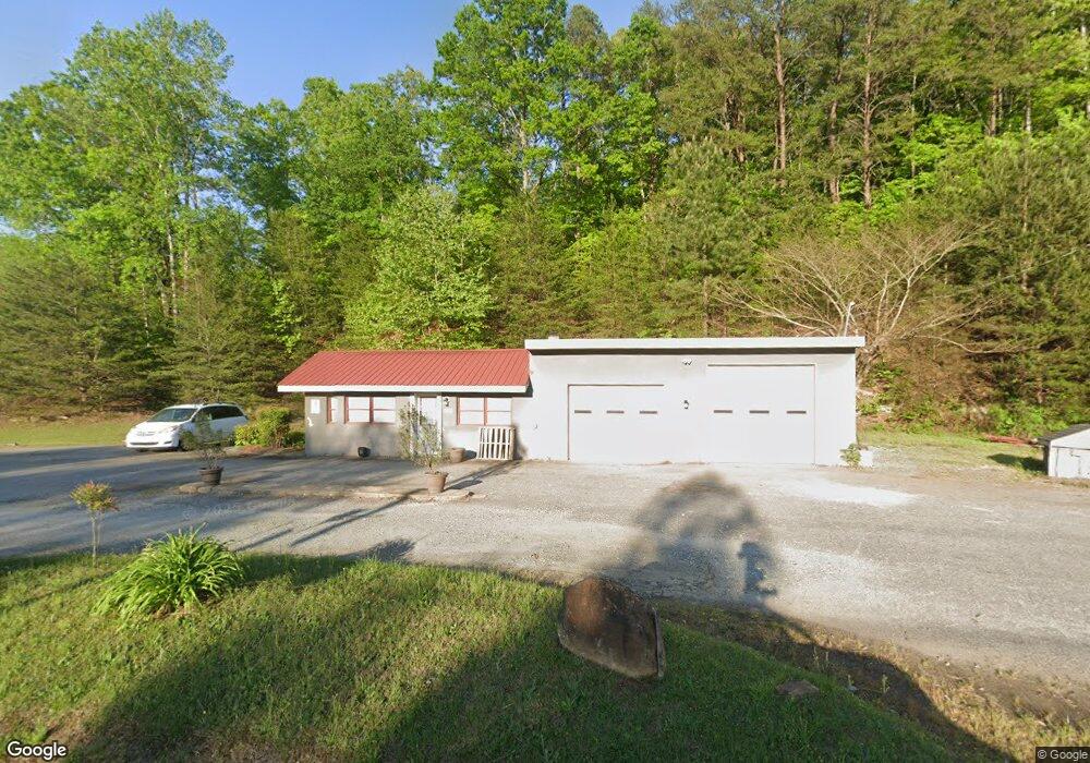
662 Highway 9 N Mill Spring, NC 28756
Estimated Value: $1,230,203
Studio
--
Bath
2,402
Sq Ft
$512/Sq Ft
Est. Value
About This Home
This home is located at 662 Highway 9 N, Mill Spring, NC 28756 and is currently estimated at $1,230,203, approximately $512 per square foot. 662 Highway 9 N is a home located in Polk County.
Ownership History
Date
Name
Owned For
Owner Type
Purchase Details
Closed on
Dec 3, 2010
Sold by
Rossi Louis A and Rossi Jane Avery
Bought by
Cooper Riis Inc
Current Estimated Value
Purchase Details
Closed on
Oct 26, 2006
Sold by
Lynch Raphal Matthew
Bought by
Rossi Louis A
Purchase Details
Closed on
May 29, 2003
Bought by
Cooperriis Inc
Purchase Details
Closed on
Apr 3, 2002
Bought by
Cooperriis Inc
Purchase Details
Closed on
Dec 31, 1997
Bought by
Cooperriis Inc
Create a Home Valuation Report for This Property
The Home Valuation Report is an in-depth analysis detailing your home's value as well as a comparison with similar homes in the area
Home Values in the Area
Average Home Value in this Area
Purchase History
| Date | Buyer | Sale Price | Title Company |
|---|---|---|---|
| Cooper Riis Inc | $535,000 | None Available | |
| Rossi Louis A | -- | None Available | |
| Cooperriis Inc | -- | -- | |
| Cooperriis Inc | $101,500 | -- | |
| Cooperriis Inc | -- | -- |
Source: Public Records
Tax History
| Year | Tax Paid | Tax Assessment Tax Assessment Total Assessment is a certain percentage of the fair market value that is determined by local assessors to be the total taxable value of land and additions on the property. | Land | Improvement |
|---|---|---|---|---|
| 2025 | $3,537 | $692,920 | $210,490 | $482,430 |
| 2024 | $3,220 | $503,406 | $145,400 | $358,006 |
| 2023 | $3,220 | $503,406 | $145,400 | $358,006 |
| 2022 | $2,969 | $503,406 | $145,400 | $358,006 |
| 2021 | $2,969 | $503,406 | $145,400 | $358,006 |
| 2020 | $2,584 | $409,772 | $116,320 | $293,452 |
| 2019 | $2,584 | $409,772 | $116,320 | $293,452 |
| 2018 | $326 | $409,772 | $116,320 | $293,452 |
| 2017 | $318 | $400,558 | $103,580 | $296,978 |
| 2016 | $231 | $400,558 | $103,580 | $296,978 |
| 2015 | $221 | $0 | $0 | $0 |
| 2014 | $221 | $0 | $0 | $0 |
| 2013 | -- | $0 | $0 | $0 |
Source: Public Records
Map
Nearby Homes
- 256 School Rd
- 0 N Carolina 108
- Lot 3 S Cross Creek Trail
- 823 Silver Creek Rd
- 250 Burt Blackwell Rd
- 0 Burt Blackwell Rd
- 0 Mountain Pkwy Unit Lot 29
- TBD N Highland Farms Rd Unit 6
- LT 5 Geebees Way
- LOT 27 S Cove Rd
- Lot 16 Fox Briar Dr
- 00 Hawk Ridge Dr Unit 8
- 0 Smith Waldrop Rd Unit CAR4336571
- 201 Hawk Ridge Dr
- 000 Lake Adger Pkwy Unit Lot 22
- Lot 20 A R Thompson Rd Unit 20
- 00 A R Thompson Rd
- Lot 48.1 A R Thompson Rd
- 00000 A R Thompson Rd Unit 27
- Lot 20 A R Thompson Rd
Your Personal Tour Guide
Ask me questions while you tour the home.