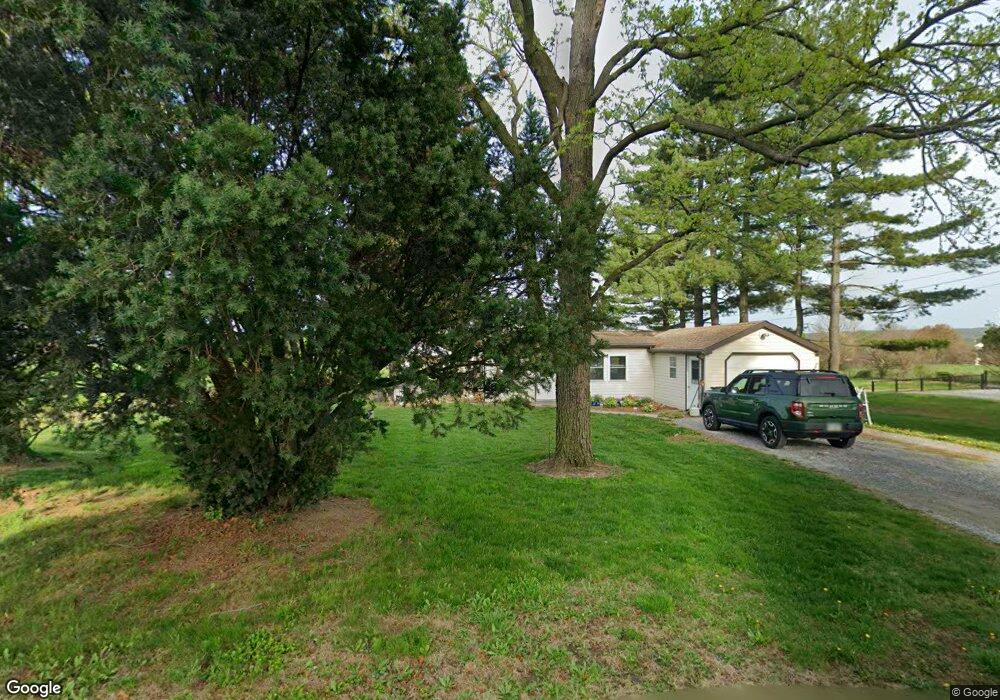
662 Kennedy St Honey Brook, PA 19344
Estimated Value: $295,000 - $364,000
3
Beds
1
Bath
768
Sq Ft
$420/Sq Ft
Est. Value
About This Home
This home is located at 662 Kennedy St, Honey Brook, PA 19344 and is currently estimated at $322,602, approximately $420 per square foot. 662 Kennedy St is a home with nearby schools including Pequea Valley Intermediate School, Pequea Valley High School, and Cambridge Parochial School.
Ownership History
Date
Name
Owned For
Owner Type
Purchase Details
Closed on
Dec 20, 2017
Sold by
Stoltzfus Christian Z and Stoltzfus Lydia S
Bought by
Stoltzfus Ivan B
Current Estimated Value
Home Financials for this Owner
Home Financials are based on the most recent Mortgage that was taken out on this home.
Original Mortgage
$100,000
Outstanding Balance
$84,213
Interest Rate
3.95%
Mortgage Type
Purchase Money Mortgage
Estimated Equity
$238,389
Create a Home Valuation Report for This Property
The Home Valuation Report is an in-depth analysis detailing your home's value as well as a comparison with similar homes in the area
Home Values in the Area
Average Home Value in this Area
Purchase History
| Date | Buyer | Sale Price | Title Company |
|---|---|---|---|
| Stoltzfus Ivan B | $125,000 | None Available |
Source: Public Records
Mortgage History
| Date | Status | Borrower | Loan Amount |
|---|---|---|---|
| Open | Stoltzfus Ivan B | $100,000 |
Source: Public Records
Tax History Compared to Growth
Tax History
| Year | Tax Paid | Tax Assessment Tax Assessment Total Assessment is a certain percentage of the fair market value that is determined by local assessors to be the total taxable value of land and additions on the property. | Land | Improvement |
|---|---|---|---|---|
| 2025 | $3,002 | $156,300 | $79,700 | $76,600 |
| 2024 | $3,002 | $156,300 | $79,700 | $76,600 |
| 2023 | $2,906 | $156,300 | $79,700 | $76,600 |
| 2022 | $2,845 | $156,300 | $79,700 | $76,600 |
| 2021 | $2,787 | $156,300 | $79,700 | $76,600 |
| 2020 | $2,787 | $156,300 | $79,700 | $76,600 |
| 2019 | $2,750 | $156,300 | $79,700 | $76,600 |
| 2018 | $4,589 | $156,300 | $79,700 | $76,600 |
| 2017 | $2,757 | $125,100 | $47,400 | $77,700 |
| 2016 | $2,757 | $125,100 | $47,400 | $77,700 |
| 2015 | $490 | $125,100 | $47,400 | $77,700 |
| 2014 | $2,186 | $127,000 | $47,400 | $79,600 |
Source: Public Records
Map
Nearby Homes
- 650 Broad St
- 607 Buchland Rd
- 0 Cambridge Rd
- 283 Cambridge Rd
- 110 Hillbrook Dr
- 230 Rock Rd
- 5892 Meadville Rd
- 5884 Mast Rd
- 2200 Beaver Dam Rd
- 14 Blue Spruce Dr
- 70 Waynebrook Dr
- 490 Red Hill Rd
- 407 Cahill Cir Unit 4
- 50 Nevin Dr
- 0 Westbrook Dr
- 0 Westbrook Dr
- 0 Westbrook Dr
- 0 Westbrook Dr
- 1022 Elwood St
- 35 Wagon Way
- 666 Kennedy St
- 668 Kennedy St
- 669 Kennedy St
- 663 Kennedy St
- 6220 Main St
- 6216 Main St
- 667 Churchtown Rd
- 663 Churchtown Rd
- 6228 Main St
- 6210 Main St
- 6206 Main St
- 661 Churchtown Rd
- 671 Churchtown Rd
- 6232 Main St
- 6204 Main St
- 685 Churchtown Rd
- 695 Churchtown Rd
- 684 Churchtown Rd
- 688 Churchtown Rd
- 6221 Main St