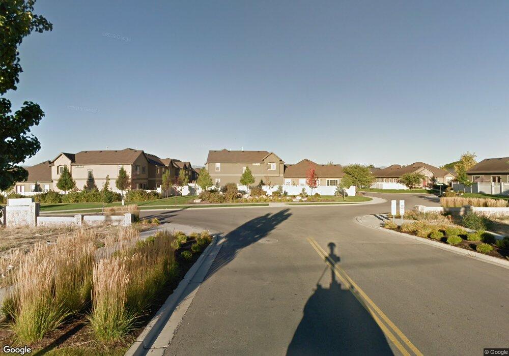
662 Normandy Loop Ln Draper, UT 84020
Estimated Value: $494,000 - $593,000
About This Home
This home is located at 662 Normandy Loop Ln, Draper, UT 84020 and is currently estimated at $533,167, approximately $312 per square foot. 662 Normandy Loop Ln is a home located in Salt Lake County with nearby schools including Sprucewood School, St John the Baptist Catholic Elementary School, and St. John the Baptist Catholic Middle School.
Ownership History
We collect this data history from publicly available records. To have your information removed, we recommend requesting removal directly through your county’s website.
Purchase Details
Home Financials for this Owner
Home Financials are based on the most recent Mortgage that was taken out on this home.Purchase Details
Home Financials for this Owner
Home Financials are based on the most recent Mortgage that was taken out on this home.Purchase Details
Purchase Details
Home Financials for this Owner
Home Financials are based on the most recent Mortgage that was taken out on this home.Home Values in the Area
Average Home Value in this Area
Purchase History
We collect this data history from publicly available records. To have your information removed, we recommend requesting removal directly through your county’s website.
| Date | Buyer | Sale Price | Title Company |
|---|---|---|---|
| -- | Sutherland Title | ||
| -- | Integrated Title Ins Svcs | ||
| -- | None Available | ||
| -- | Fidelity Land & Title Co |
Mortgage History
We collect this data history from publicly available records. To have your information removed, we recommend requesting removal directly through your county’s website.
| Date | Status | Borrower | Loan Amount |
|---|---|---|---|
| Open | $353,479 | ||
| Previous Owner | $251,750 | ||
| Previous Owner | $164,720 |
Tax History
We collect this data history from publicly available records. To have your information removed, we recommend requesting removal directly through your county’s website.
| Year | Tax Paid | Tax Assessment Tax Assessment Total Assessment is a certain percentage of the fair market value that is determined by local assessors to be the total taxable value of land and additions on the property. | Land | Improvement |
|---|---|---|---|---|
| 2025 | $2,471 | $480,600 | $51,200 | $429,400 |
| 2024 | $2,524 | $482,200 | $49,400 | $432,800 |
| 2023 | $2,492 | $472,500 | $48,200 | $424,300 |
| 2022 | $2,634 | $482,400 | $47,300 | $435,100 |
| 2021 | $2,249 | $351,900 | $44,500 | $307,400 |
| 2020 | $1,967 | $291,800 | $39,100 | $252,700 |
| 2019 | $1,938 | $280,800 | $39,100 | $241,700 |
| 2018 | $1,828 | $270,700 | $67,000 | $203,700 |
| 2017 | $1,811 | $257,000 | $63,700 | $193,300 |
| 2016 | $1,844 | $254,300 | $105,400 | $148,900 |
| 2015 | $1,869 | $238,600 | $104,300 | $134,300 |
| 2014 | $1,729 | $215,600 | $95,900 | $119,700 |
Map
- 611 E Autumn Branch Way
- 585 E Wyngate Pointe Ln
- 11743 S 700 E
- 11738 S Nigel Peak Ln
- 11769 S Nigel Peak Ln
- 559 E Rundel Way
- 681 Abbottsford Ct
- 812 Stormy Creek Rd
- 699 E Hillock Ct Unit 16
- 951 E South Fork Cir
- 11308 S Hawkwood Dr
- 685 E 12000 S
- 252 E Cranberry Hill Dr
- 11467 S Loganberry Ct
- 11491 S MacH Schnell Dr
- 276 E Hidden View Dr Unit 98
- 469 E 12000 S
- 11189 S Ohenry Rd
- 1055 E Castle Rock Rd
- 12039 S 700 E
- 12210 S 690 E
- 667 E Wyngate Pointe Ln
- 667 Wyngate Pointe Ln
- 667 Wyngate Pointe Ln Unit 67
- 665 E Wyngate Pointe Ln
- 665 Wyngate Pointe Ln
- 665 Wyngate Pointe Ln Unit 66
- 662 E Normandy Loop Ln Unit 10
- 662 E Normandy Loop Ln
- 669 Wyngate Pointe Ln
- 669 Wyngate Pointe Ln Unit 68
- 660 Normandy Loop Ln
- 660 E Normandy Loop Ln Unit 11
- 664 E Normandy Loop Ln Unit 9
- 659 Wyngate Pointe Ln
- 659 Wyngate Pointe Ln Unit 65
- 659 E Wyngate Pointe Ln
- 664 Normandy Loop Ln
- 658 E Normandy Loop Ln
- 658 Normandy Loop Ln
Ask me questions while you tour the home.