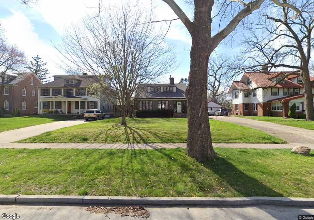
662 Polk Blvd Des Moines, IA 50312
Waterbury NeighborhoodEstimated Value: $437,000 - $474,000
4
Beds
1
Bath
2,358
Sq Ft
$192/Sq Ft
Est. Value
About This Home
This home is located at 662 Polk Blvd, Des Moines, IA 50312 and is currently estimated at $453,222, approximately $192 per square foot. 662 Polk Blvd is a home located in Polk County with nearby schools including Hubbell Elementary, Merrill Middle School, and Roosevelt High School.
Ownership History
Date
Name
Owned For
Owner Type
Purchase Details
Closed on
Mar 1, 2007
Sold by
Norland James K
Bought by
Norland Laurin M
Current Estimated Value
Purchase Details
Closed on
Aug 27, 1997
Sold by
Moore Jimmie G and Moore Constance J
Bought by
Norland James K and Norland Laurin M
Home Financials for this Owner
Home Financials are based on the most recent Mortgage that was taken out on this home.
Original Mortgage
$142,400
Outstanding Balance
$22,010
Interest Rate
7.44%
Estimated Equity
$431,212
Create a Home Valuation Report for This Property
The Home Valuation Report is an in-depth analysis detailing your home's value as well as a comparison with similar homes in the area
Home Values in the Area
Average Home Value in this Area
Purchase History
| Date | Buyer | Sale Price | Title Company |
|---|---|---|---|
| Norland Laurin M | -- | None Available | |
| Norland James K | $177,500 | -- |
Source: Public Records
Mortgage History
| Date | Status | Borrower | Loan Amount |
|---|---|---|---|
| Open | Norland James K | $142,400 |
Source: Public Records
Tax History Compared to Growth
Tax History
| Year | Tax Paid | Tax Assessment Tax Assessment Total Assessment is a certain percentage of the fair market value that is determined by local assessors to be the total taxable value of land and additions on the property. | Land | Improvement |
|---|---|---|---|---|
| 2024 | $7,208 | $376,900 | $71,700 | $305,200 |
| 2023 | $7,000 | $376,900 | $71,700 | $305,200 |
| 2022 | $6,946 | $305,900 | $60,800 | $245,100 |
| 2021 | $6,558 | $305,900 | $60,800 | $245,100 |
| 2020 | $6,808 | $271,400 | $54,400 | $217,000 |
| 2019 | $6,444 | $271,400 | $54,400 | $217,000 |
| 2018 | $6,374 | $248,300 | $48,700 | $199,600 |
| 2017 | $5,760 | $248,300 | $48,700 | $199,600 |
| 2016 | $5,608 | $221,500 | $43,200 | $178,300 |
| 2015 | $5,608 | $221,500 | $43,200 | $178,300 |
| 2014 | $5,356 | $210,300 | $40,900 | $169,400 |
Source: Public Records
Map
Nearby Homes
- 642 Polk Blvd
- 633 48th St
- 702 Polk Blvd
- 4801 Harwood Dr
- 519 48th St
- 4828 Ingersoll Ave
- 4836 Ingersoll Ave
- 4840 Ingersoll Ave
- 4844 Ingersoll Ave
- 4848 Ingersoll Ave
- 4901 Grand Ave
- 812 Polk Blvd
- 4820 Grand Ave
- 4323 Grand Ave Unit 216
- 4323 Grand Ave Unit 324
- 4345 Grand Ave Unit 1
- 529 43rd St
- 5108 Grand Ave
- 701 54th St
- 339 49th St