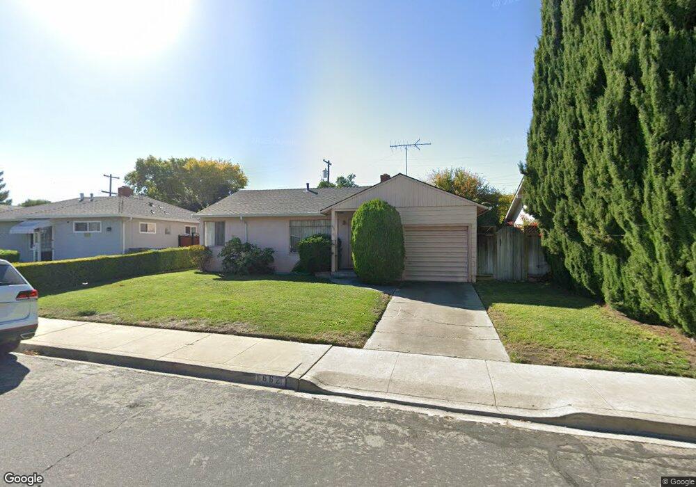
662 Robin Dr Santa Clara, CA 95050
Pruneridge NeighborhoodEstimated Value: $1,259,981 - $1,626,000
2
Beds
1
Bath
854
Sq Ft
$1,662/Sq Ft
Est. Value
About This Home
This home is located at 662 Robin Dr, Santa Clara, CA 95050 and is currently estimated at $1,418,995, approximately $1,661 per square foot. 662 Robin Dr is a home located in Santa Clara County with nearby schools including Westwood Elementary School, Buchser Middle School, and Santa Clara High School.
Ownership History
Date
Name
Owned For
Owner Type
Purchase Details
Closed on
Apr 19, 2012
Sold by
White Lawrence S
Bought by
White Lawrence S
Current Estimated Value
Purchase Details
Closed on
Dec 20, 2005
Sold by
White Charles L
Bought by
White Betty L
Purchase Details
Closed on
Nov 23, 2005
Sold by
White Betty L
Bought by
White Lawrence S and White Charles L
Purchase Details
Closed on
Feb 7, 2000
Sold by
White Eugene W and White Betty L
Bought by
White Eugene W and White Betty L
Create a Home Valuation Report for This Property
The Home Valuation Report is an in-depth analysis detailing your home's value as well as a comparison with similar homes in the area
Home Values in the Area
Average Home Value in this Area
Purchase History
| Date | Buyer | Sale Price | Title Company |
|---|---|---|---|
| White Lawrence S | -- | None Available | |
| White Betty L | -- | -- | |
| White Lawrence S | -- | -- | |
| White Eugene W | -- | -- | |
| White Eugene W | -- | -- |
Source: Public Records
Tax History
| Year | Tax Paid | Tax Assessment Tax Assessment Total Assessment is a certain percentage of the fair market value that is determined by local assessors to be the total taxable value of land and additions on the property. | Land | Improvement |
|---|---|---|---|---|
| 2025 | $815 | $58,846 | $31,850 | $26,996 |
| 2024 | $815 | $57,693 | $31,226 | $26,467 |
| 2023 | $807 | $56,563 | $30,614 | $25,949 |
| 2022 | $799 | $55,455 | $30,014 | $25,441 |
| 2021 | $793 | $54,369 | $29,426 | $24,943 |
| 2020 | $779 | $53,813 | $29,125 | $24,688 |
| 2019 | $779 | $52,758 | $28,554 | $24,204 |
| 2018 | $735 | $51,725 | $27,995 | $23,730 |
| 2017 | $730 | $50,712 | $27,447 | $23,265 |
| 2016 | $783 | $49,718 | $26,909 | $22,809 |
| 2015 | $779 | $48,972 | $26,505 | $22,467 |
| 2014 | $727 | $48,013 | $25,986 | $22,027 |
Source: Public Records
Map
Nearby Homes
- 619 Robin Dr
- 2152 Forbes Ave
- 526 Saratoga Ave
- 2807 Newhall St Unit 2807
- 2545 Austin Place
- 2403 Golf Links Cir
- 809 Lippert Place
- 1953 Bohannon Dr
- 817 Lippert Place
- 2530 Forbes Ave
- 2525 Armstrong Place
- 1926 Bohannon Dr
- 680 N Winchester Blvd
- 2475 Karen Dr
- 376 Cypress Ave
- 1802 Henning Place
- 1031 Las Palmas Dr
- 1177 Janice Dr
- 2711 Toledo Ave
- 880 N Winchester Blvd Unit 205
Your Personal Tour Guide
Ask me questions while you tour the home.