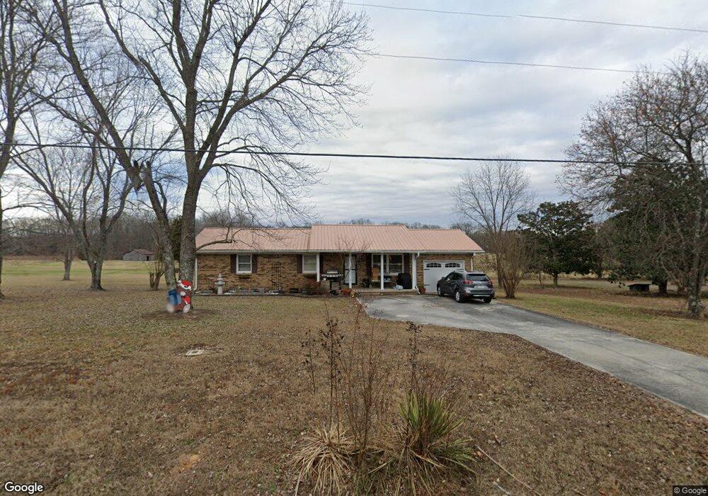
662 Sarvis Branch Rd Estill Springs, TN 37330
Estimated Value: $239,000 - $324,000
--
Bed
2
Baths
1,720
Sq Ft
$160/Sq Ft
Est. Value
About This Home
This home is located at 662 Sarvis Branch Rd, Estill Springs, TN 37330 and is currently estimated at $275,954, approximately $160 per square foot. 662 Sarvis Branch Rd is a home located in Franklin County with nearby schools including North Middle School and Franklin County High School.
Ownership History
Date
Name
Owned For
Owner Type
Purchase Details
Closed on
Sep 23, 2011
Sold by
Bandy Patsy
Bought by
Statum William David
Current Estimated Value
Home Financials for this Owner
Home Financials are based on the most recent Mortgage that was taken out on this home.
Original Mortgage
$92,115
Outstanding Balance
$63,200
Interest Rate
4.3%
Mortgage Type
Commercial
Estimated Equity
$212,754
Purchase Details
Closed on
Nov 16, 1999
Sold by
Bandy Ralph E and Elliott Gary L
Bought by
Elliott Gary L
Purchase Details
Closed on
Apr 1, 1977
Bought by
Bandy Ralph E
Create a Home Valuation Report for This Property
The Home Valuation Report is an in-depth analysis detailing your home's value as well as a comparison with similar homes in the area
Home Values in the Area
Average Home Value in this Area
Purchase History
| Date | Buyer | Sale Price | Title Company |
|---|---|---|---|
| Statum William David | $89,000 | -- | |
| Elliott Gary L | -- | -- | |
| Bandy Ralph E | -- | -- |
Source: Public Records
Mortgage History
| Date | Status | Borrower | Loan Amount |
|---|---|---|---|
| Open | Statum William David | $92,115 |
Source: Public Records
Tax History Compared to Growth
Tax History
| Year | Tax Paid | Tax Assessment Tax Assessment Total Assessment is a certain percentage of the fair market value that is determined by local assessors to be the total taxable value of land and additions on the property. | Land | Improvement |
|---|---|---|---|---|
| 2024 | $954 | $47,825 | $7,300 | $40,525 |
| 2023 | $954 | $47,825 | $7,300 | $40,525 |
| 2022 | $897 | $47,825 | $7,300 | $40,525 |
| 2021 | $771 | $47,825 | $7,300 | $40,525 |
| 2020 | $623 | $26,800 | $4,875 | $21,925 |
| 2019 | $623 | $21,650 | $4,875 | $16,775 |
| 2018 | $579 | $21,650 | $4,875 | $16,775 |
| 2017 | $579 | $21,650 | $4,875 | $16,775 |
| 2016 | $541 | $20,250 | $4,300 | $15,950 |
| 2015 | $541 | $20,250 | $4,300 | $15,950 |
| 2014 | $541 | $20,251 | $0 | $0 |
Source: Public Records
Map
Nearby Homes
- 1161 Honey Ln
- 0 Honey Ln Unit 24353648
- 0 Honey Ln Unit RTC2945390
- 0 Honey Ln Unit RTC2904689
- 0 Honey Ln Unit RTC2689137
- 82 Hope Cir
- 0 Little Hurricane Rd
- 1782 Honey Ln
- 302 Lakeside Dr
- 235 Lakeview St
- 0 Old Tullahoma Rd Unit RTC2823177
- 316 Timberlake Dr
- 1275 Heather Way
- 193 Timberlake Dr
- 170 Hillwood Dr
- 1896 Eastbrook Rd
- 1840 Lockmiller Rd
- 1252 Rock Creek Rd
- 43 Shady Cove Ct
- 188 Trotters Cir
- 696 Sarvis Branch Rd
- 632 Sarvis Branch Rd
- 766 Sarvis Branch Rd
- 745 Sarvis Branch Rd
- 771 Sarvis Branch Rd
- 791 Sarvis Branch Rd
- 582 Sarvis Branch Rd
- 0 Sarvis Branch Rd Unit 1783141
- 0 Sarvis Branch Rd Unit RTC1783144
- 0 Sarvis Branch Rd Unit RTC1783143
- 0 Sarvis Branch Rd Unit RTC1783135
- 0 Sarvis Branch Rd Unit RTC1783138
- 535 Sarvis Branch Rd
- 807 Sarvis Branch Rd
- 880 Sarvis Branch Rd
- 496 Sarvis Branch Rd
- 891 Sarvis Branch Rd
- 411 Sarvis Branch Rd
- 946 Sarvis Branch Rd
- 678 Honey Ln