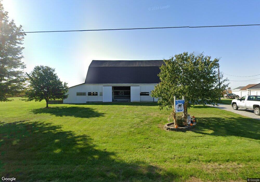
662 State Route 119 Minster, OH 45865
Estimated Value: $412,000 - $584,895
4
Beds
3
Baths
2,274
Sq Ft
$219/Sq Ft
Est. Value
About This Home
This home is located at 662 State Route 119, Minster, OH 45865 and is currently estimated at $498,448, approximately $219 per square foot. 662 State Route 119 is a home located in Auglaize County with nearby schools including Marion Local Elementary School and Marion Local High School.
Ownership History
Date
Name
Owned For
Owner Type
Purchase Details
Closed on
May 10, 2021
Sold by
Walterbusch Jonathan D
Bought by
Walterbusch Jonathan D and Walterbusch Kylee M
Current Estimated Value
Purchase Details
Closed on
Jun 19, 2012
Sold by
Homan Anthony M and Homan Christina L
Bought by
Walterbusch Jonathan D
Home Financials for this Owner
Home Financials are based on the most recent Mortgage that was taken out on this home.
Original Mortgage
$195,000
Outstanding Balance
$133,951
Interest Rate
3.87%
Mortgage Type
Purchase Money Mortgage
Estimated Equity
$364,497
Create a Home Valuation Report for This Property
The Home Valuation Report is an in-depth analysis detailing your home's value as well as a comparison with similar homes in the area
Purchase History
| Date | Buyer | Sale Price | Title Company |
|---|---|---|---|
| Walterbusch Jonathan D | -- | None Available | |
| Walterbusch Jonathan D | $244,000 | Attorney |
Source: Public Records
Mortgage History
| Date | Status | Borrower | Loan Amount |
|---|---|---|---|
| Open | Walterbusch Jonathan D | $195,000 |
Source: Public Records
Tax History
| Year | Tax Paid | Tax Assessment Tax Assessment Total Assessment is a certain percentage of the fair market value that is determined by local assessors to be the total taxable value of land and additions on the property. | Land | Improvement |
|---|---|---|---|---|
| 2025 | $5,861 | $118,400 | $13,420 | $104,980 |
| 2024 | $5,861 | $118,400 | $13,420 | $104,980 |
| 2023 | $4,514 | $118,400 | $13,420 | $104,980 |
| 2022 | $3,789 | $95,890 | $10,520 | $85,370 |
| 2021 | $3,828 | $95,890 | $10,520 | $85,370 |
| 2020 | $3,843 | $95,887 | $10,518 | $85,369 |
| 2019 | $3,999 | $95,887 | $10,518 | $85,369 |
| 2018 | $4,126 | $95,887 | $10,518 | $85,369 |
| 2017 | $3,895 | $95,887 | $10,518 | $85,369 |
| 2016 | $3,125 | $76,685 | $9,555 | $67,130 |
| 2015 | $2,577 | $64,495 | $9,555 | $54,940 |
| 2014 | $2,583 | $64,495 | $9,555 | $54,940 |
| 2013 | $2,774 | $63,505 | $8,565 | $54,940 |
Source: Public Records
Map
Nearby Homes
- 2109 Thobe Ln
- 2102 Thobe Ln
- 2065 Thobe Ln
- 2079 Thobe Ln
- 2093 Thobe Ln
- 1991 Minster Egypt Pike
- 31 Melcher St
- 7 E 2nd St
- 312 Margaret St
- 316 Margaret St
- 323 Margaret St
- 561 S Walnut St Unit Lot3
- 217 S Washington St
- 17 Stonegate Dr
- 0 Stonegate Dr Unit 14 10544847
- 0 Stonegate Dr Unit 21 10544857
- 36 Shania Place Unit 23
- 28 Shania Place Unit 33
- 19 Shania Place Unit 33
- 27 Shania Place Unit 26
- 652 State Route 119
- 568 State Route 119
- 575 State Route 119
- 503 State Route 119
- 477 State Route 119
- 498 State Route 119
- 4107 State Route 364
- 4127 State Route 364
- 658 Heitkamp Rd
- 606 Heitkamp Rd
- 590 Heitkamp Rd
- 234 State Route 119
- 1113 State Route 119
- 786 Heitkamp Rd
- 466 Heitkamp Rd
- 824 Heitkamp Rd
- 846 Heitkamp Rd
- 174 State Route 119
- 876 Heitkamp Rd
- 813 Heitkamp Rd
Your Personal Tour Guide
Ask me questions while you tour the home.