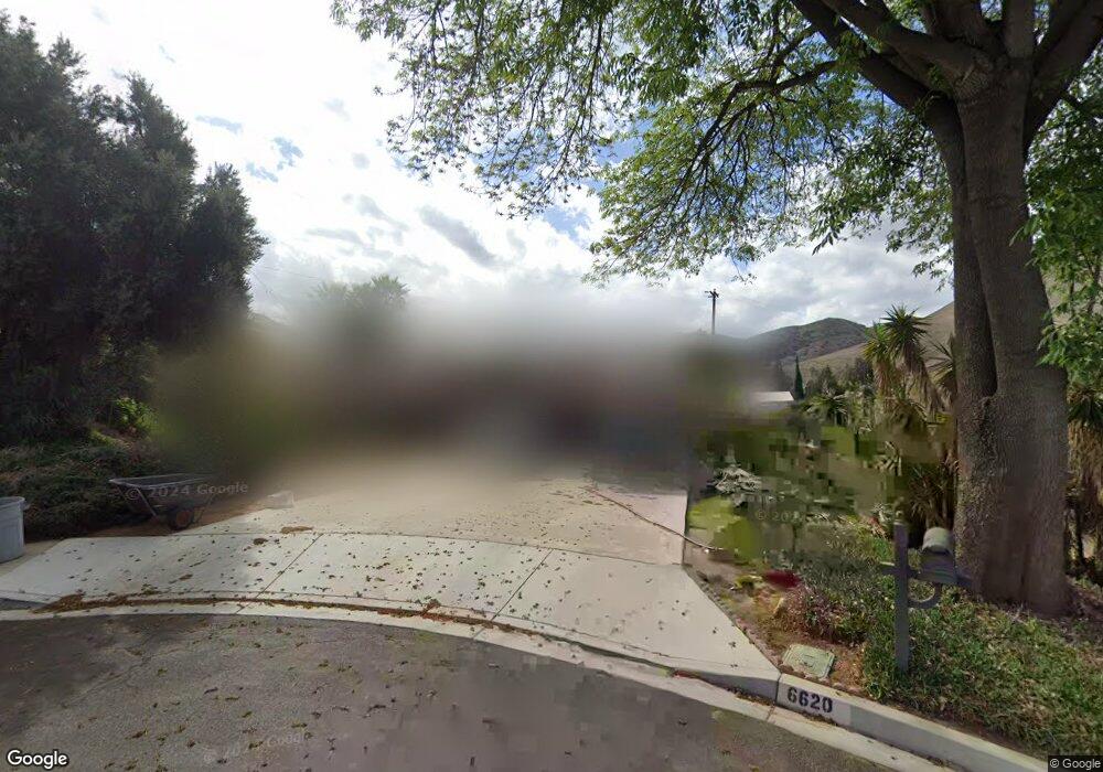
6620 Mountain High Dr Riverside, CA 92505
La Sierra Acres NeighborhoodEstimated Value: $747,000 - $813,000
4
Beds
2
Baths
2,645
Sq Ft
$298/Sq Ft
Est. Value
About This Home
This home is located at 6620 Mountain High Dr, Riverside, CA 92505 and is currently estimated at $786,936, approximately $297 per square foot. 6620 Mountain High Dr is a home located in Riverside County with nearby schools including Rosemary Kennedy Elementary School, Loma Vista Middle School, and Norte Vista High School.
Ownership History
Date
Name
Owned For
Owner Type
Purchase Details
Closed on
Oct 2, 2000
Sold by
Hanna Grant and Hanna Veronica
Bought by
Koshmeri Damon and Peach Yasmin
Current Estimated Value
Home Financials for this Owner
Home Financials are based on the most recent Mortgage that was taken out on this home.
Original Mortgage
$165,500
Outstanding Balance
$60,270
Interest Rate
7.9%
Estimated Equity
$726,666
Purchase Details
Closed on
Jun 21, 1995
Sold by
Cloninger Nellie A and Huffman Nellie A
Bought by
Hanna Grant and Hanna Veronica
Home Financials for this Owner
Home Financials are based on the most recent Mortgage that was taken out on this home.
Original Mortgage
$148,650
Interest Rate
7.61%
Create a Home Valuation Report for This Property
The Home Valuation Report is an in-depth analysis detailing your home's value as well as a comparison with similar homes in the area
Home Values in the Area
Average Home Value in this Area
Purchase History
| Date | Buyer | Sale Price | Title Company |
|---|---|---|---|
| Koshmeri Damon | -- | Fidelity National Title Co | |
| Hanna Grant | $156,500 | Old Republic Title |
Source: Public Records
Mortgage History
| Date | Status | Borrower | Loan Amount |
|---|---|---|---|
| Open | Koshmeri Damon | $165,500 | |
| Previous Owner | Hanna Grant | $148,650 |
Source: Public Records
Tax History
| Year | Tax Paid | Tax Assessment Tax Assessment Total Assessment is a certain percentage of the fair market value that is determined by local assessors to be the total taxable value of land and additions on the property. | Land | Improvement |
|---|---|---|---|---|
| 2025 | $4,008 | $339,011 | $75,328 | $263,683 |
| 2023 | $4,008 | $325,848 | $72,403 | $253,445 |
| 2022 | $3,706 | $319,460 | $70,984 | $248,476 |
| 2021 | $3,649 | $313,197 | $69,593 | $243,604 |
| 2020 | $3,590 | $309,987 | $68,880 | $241,107 |
| 2019 | $3,542 | $303,910 | $67,530 | $236,380 |
| 2018 | $3,492 | $297,952 | $66,206 | $231,746 |
| 2017 | $3,426 | $292,110 | $64,908 | $227,202 |
| 2016 | $3,368 | $286,384 | $63,636 | $222,748 |
| 2015 | $3,318 | $282,084 | $62,681 | $219,403 |
| 2014 | $3,305 | $276,560 | $61,454 | $215,106 |
Source: Public Records
Map
Nearby Homes
- 0 La Sierra Ave Unit IG25054953
- 6770 Sandy Ln
- 6143 Coral Ridge Dr
- 11061 Cypress Ave
- 11324 Reid Ct
- 6420 Stover Ave
- 11031 Sierra Tree Ln
- 10702 Cypress Ave
- 10648 Cypress Ave
- 5714 Eliza Place
- 4477 4479 Gilchrist
- 6 Brown
- 4671 Crestview Dr
- 4659 Crestview Dr
- 4130 Mount Verde Dr
- 10555 Robinson Ave
- 5701 Norwood Ave
- 10560 Robinson Ave
- 257 8th St
- 5553 Peacock Ln
- 6640 Mountain High Dr
- 11180 Western Hills Dr
- 11188 Western Hills Dr
- 6631 Mountain High Dr
- 11174 Western Hills Dr
- 11192 Western Hills Dr
- 6650 Sunset Cir
- 6661 Mountain High Dr
- 11179 Arlington Ave
- 11198 Western Hills Dr
- 11173 Arlington Ave
- 6630 Sunset Cir
- 6684 Sunset Cir
- 11191 Western Hills Dr
- 11183 Western Hills Dr
- 11161 Arlington Ave
- 6671 Mountain High Dr Unit D
- 6671 Mountain High Dr
- 11177 Western Hills Dr
- 11157 Arlington Ave
Your Personal Tour Guide
Ask me questions while you tour the home.